by Rick O'Connor | Feb 10, 2022
It is now mid-winter and much colder than our trip in January. During February’s hike the temperature was 44°F, compared to 62°F in January. It was overcast with a cold breeze from the northeast – again, colder. When conditions are like this I am not expecting to see much. If I did find something I would expect it to be one of our warm blood friends, mammals or birds, and even they would prefer a day with more sun and less breeze. But I came to see what was out roaming. So, a hike I made.
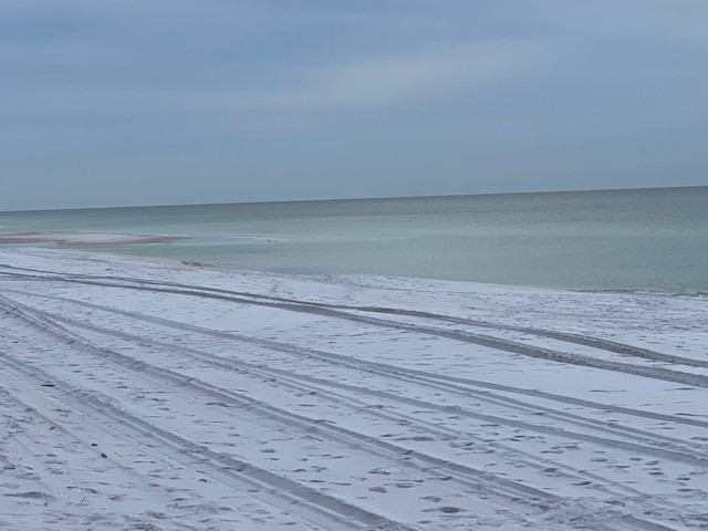
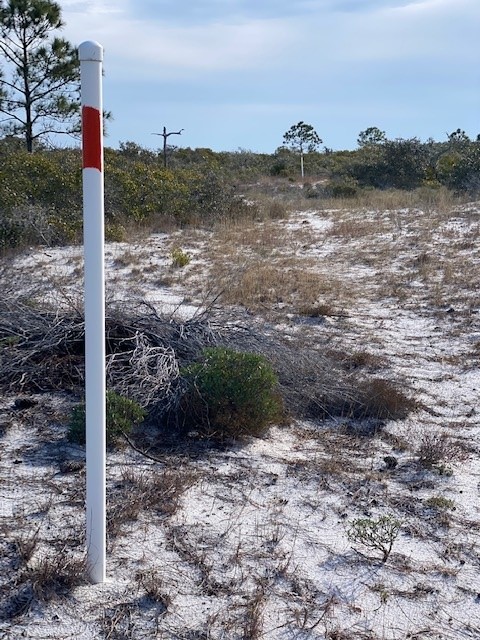
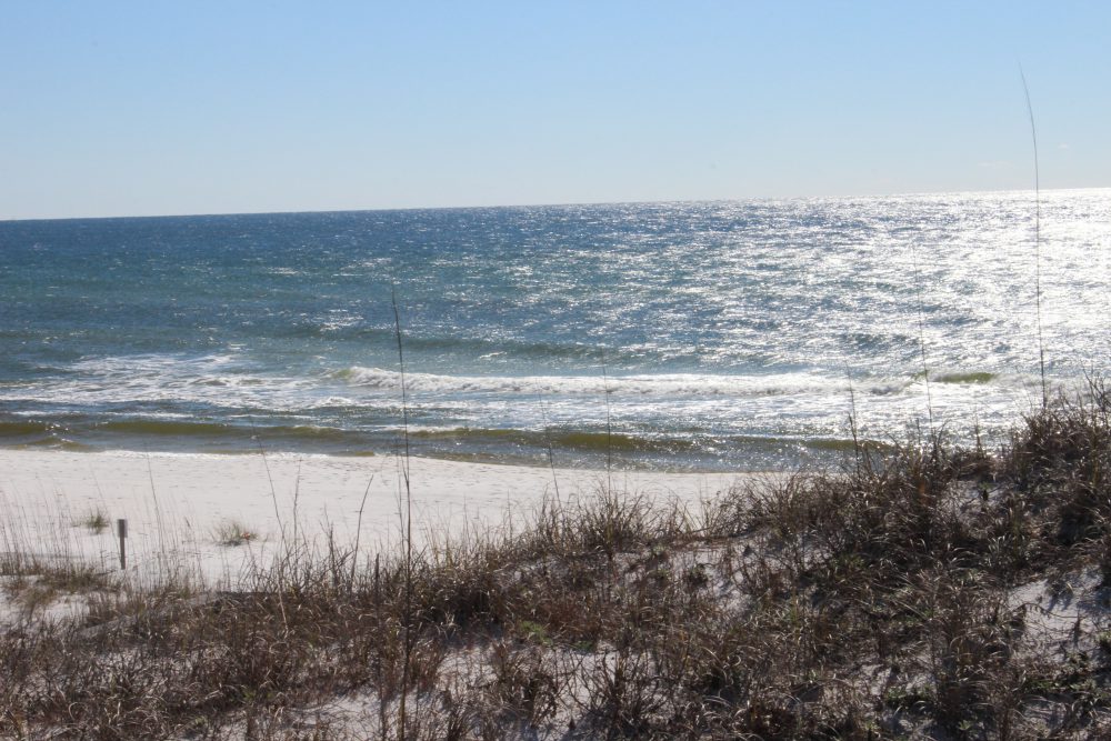
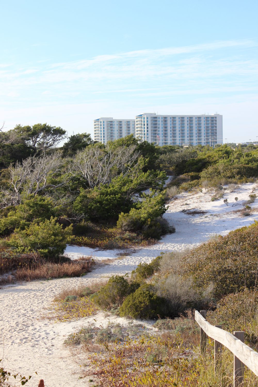
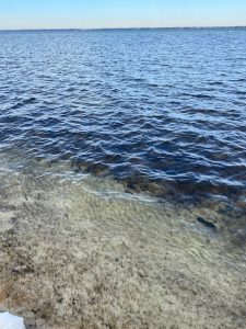
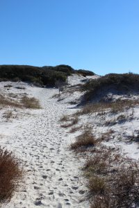
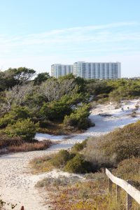
The Gulf front at Park East near Big Sabine.
This month I hiked the Big Sabine area east of Pensacola Beach. It began with a shore walk along the Gulf and then a transect across the different dune fields to the marshes and seagrasses along the Santa Rosa Sound.
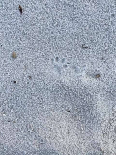
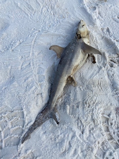
There was no one out today. You could see footprints in the sand, and it had that characteristic “squeak” sound of fresh sand or snow. The only wildlife I saw on the Gulf side was a group of pelicans sitting on very calm water, obviously enjoying the morning. However, you could see footprints of mammals that had come earlier. There are raccoons, armadillos, mice, coyotes, and occasional reports of otters on Santa Rosa Island. There were a lot of skunks on the island prior to Hurricane Ivan (2004), but I have not seen any since. There have been reports of bears on the island as well. I have never seen one, nor their tracks, so do not think they are frequent visitors. I did find a dead shark tossed up on the beach by a fisherman. Not sure if they were trying to catch it or not.
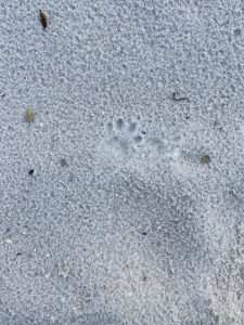
A variety of mammals are found on barrier islands. Most move at night and you know they are there only by their tracks.
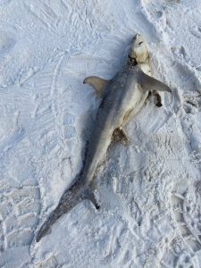
This small shark was found on the beach during the hike. I am not sure why they did not return it to the Gulf.
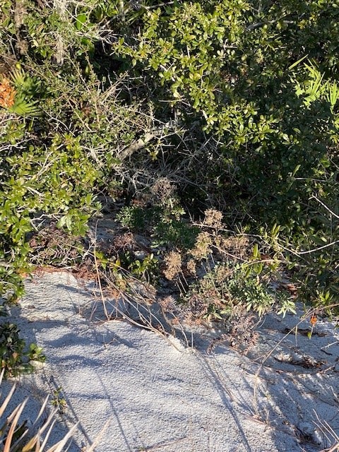
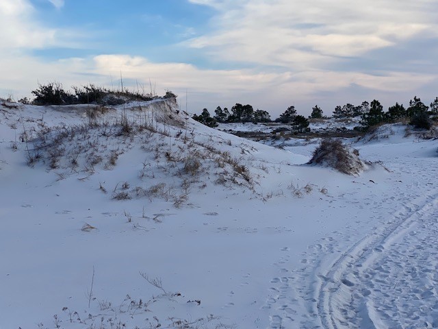
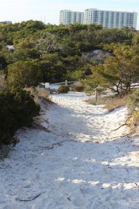
As I began my transect across the island I ventured into the secondary dune field, which during summer is extremely hot. This part of the island reminds me somewhat of a desert. Very dry, open, and at times very hot. Like the desert it comes alive more at night, but during winter you might see animal movement during the warm parts of the day. I did see mammalian tracks, which included humans and dogs.
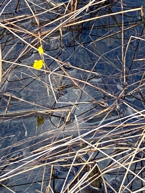
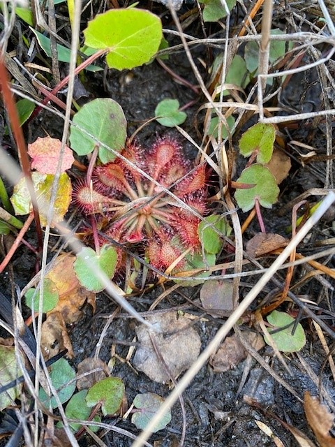
This dune field also holds ephemeral ponds which can harbor a variety of life during the warmer months. Today I only found one blooming yellow-bladder wort as well as other carnivorous plants along the bank such as sundews and ground pines.

Yellow bladder wort is one of the small carnivorous plants that live on our barrier islands.
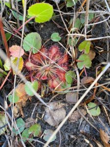
Sundews are another one of the small carnivorous plants found here.
From the open dune field, you venture into the tertiary dunes and the maritime forest. Trees grow here but their growth is stunted due to the salt content in the air. None the less, pine and oak hammocks liter this dune area providing great hiding places for wildlife. Though we did not see any today, I am expecting to find some as the weather warms.
The backside of the island is where you will find the salt marsh. This brackish wetland harbors its own community of creatures, which were not visible today but will be in the spring. Between the tertiary dunes and the marsh runs a section of the Florida Trail. Hikers can walk this section and observe wildlife from both ecosystems.

The larger dunes of the tertiary dune field.
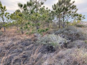
Tree hammocks are common in the tertiary dune fields and provide good places for wildlife.
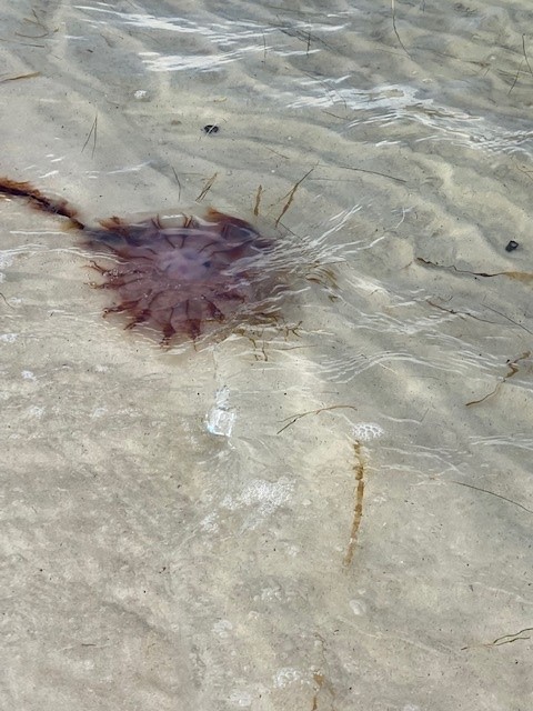
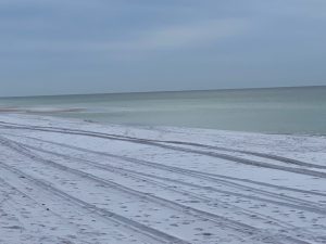
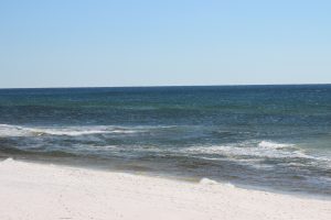
I eventually reached the Sound and the seagrass beds that exist there. Today, here was nothing really moving around, though I did find a dead jellyfish drifting in the waves. As the island wildlife tends to hideout the winter in burrows, the fish move to deeper water where it is warmer.

The backside of these large dunes drop quickly back to sea level.
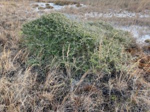
Many plants in the tertiary dunes exhibit “wind sculpting”. It appears someone has taken a brush and “brushed” the tree towards the Sound.
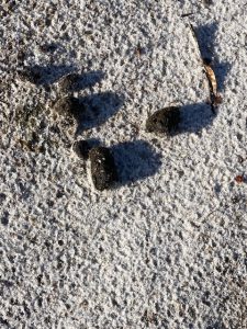
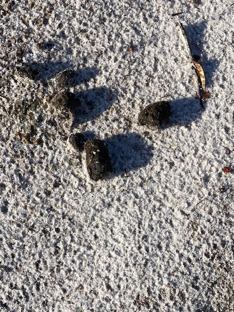
Scat is another sign used to identify mammal activity in the dunes.
Portions of the Florida Trail cut through the tertiary dune field of Big Sabine.
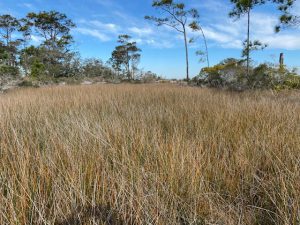
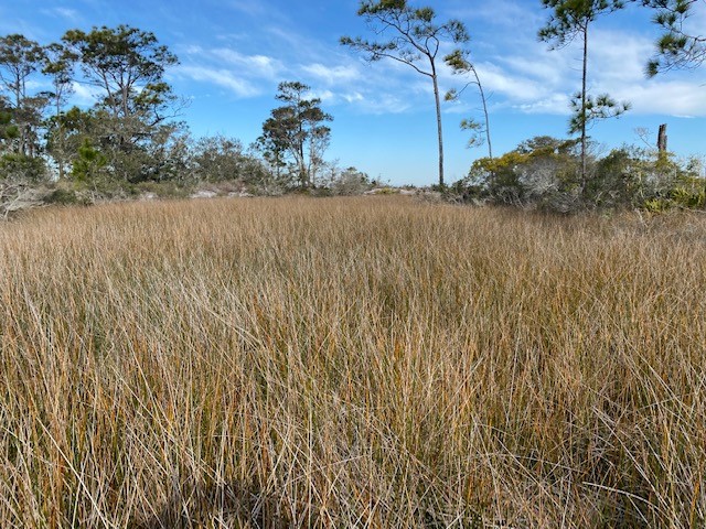
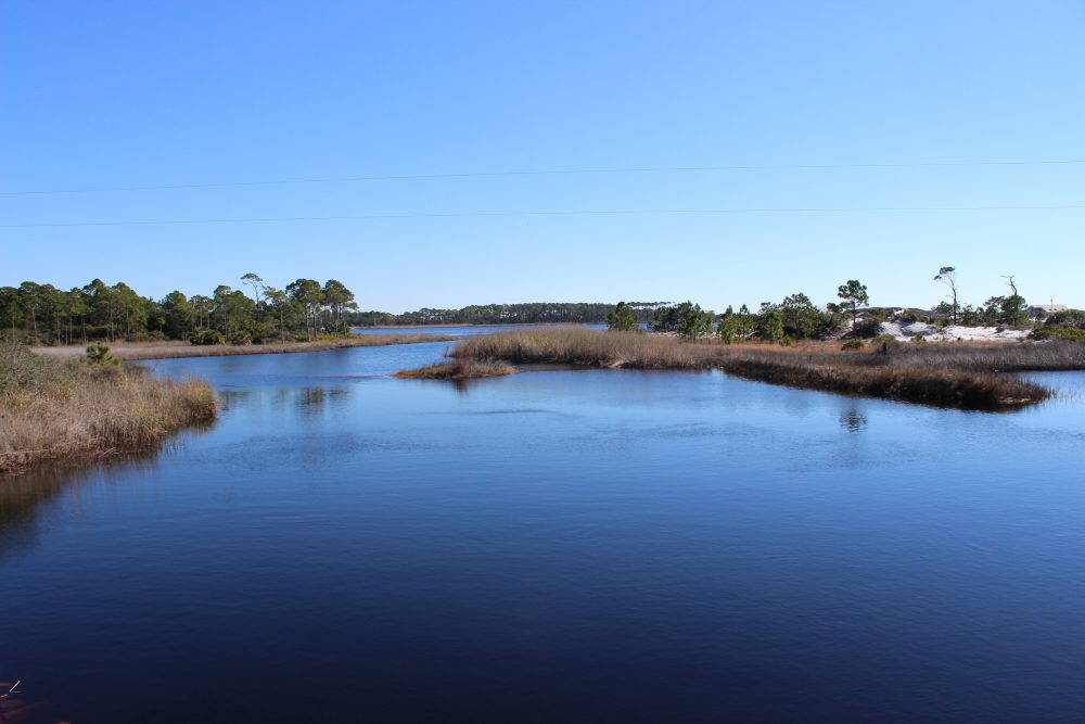
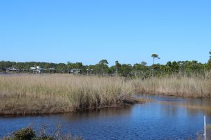
The salt marsh
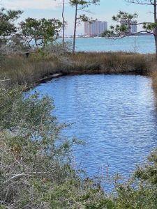
This holding pond is a remnant of an old fish hatchery from the late 1950s and is primarily freshwater.
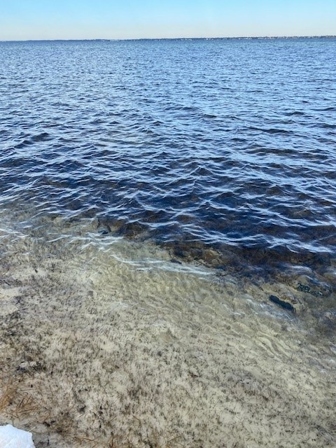
Seagrass meadows can be found in Santa Rosa Sound and harbor a variety of marine life.
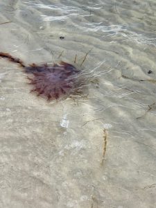
Jellyfish are common on both sides of the island. This one has washed ashore on Santa Rosa Sound.
There was little out today other than a few birds. We will see what late winter will expose next month.

by Rick O'Connor | May 25, 2018
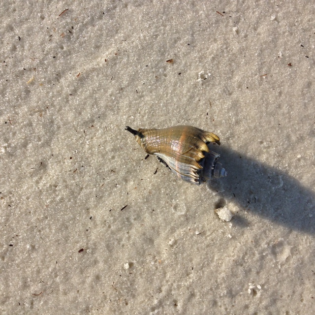
In recent weeks, volunteers and I have been surveying local estuaries counting terrapins, horseshoe crabs, and monitoring seagrass. One animal that has been very visible during these surveys is the relatively large snail known as the crown conch (Melongena corona). Its shell is often found with a striped hermit crab living within, but it is actually produced by a fleshy snail, who is a predator to those slow enough for it to catch.
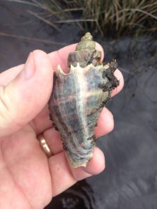
The white spines along the whorl give this snail its common name – crown conch.
Photo: Rick O’Connor
The shell is familiar to most who venture to the estuary side of our beaches. Reaching around five inches in length, crown conch shells are spiral with a wide aperture (opening) and brown to purple to white in color. Each whorl ends with white spins giving it the appearance of a crown and – hence – it’s common name. They are typically seen cruising along the sediments near grassbeds, salt marshes and oyster reefs – their long black siphons extended drawing in seawater for oxygen, but also to detect scents that will lead them to food.
These snails breed from winter to early summer. Females, larger than males, will develop 15-500 eggs in capsules, which they attach to hard structures within the habitat; such as wood, seagrass blades, and shell material.
Crown conchs are subtropical species and have a low tolerance for cold water. They are common in the panhandle and may expand further north along the Atlantic coast if warming trends continue. They have a higher tolerance for changes in salinity and can tolerate salinity as low as 8 ppt. The salinities within Pensacola Bay can be as low as 10 ppt and Santa Rosa Sound / Big Lagoon are typically between 20-30 ppt. The developing young require higher salinities and thus breeding takes in the lower portions of our estuaries.
These are guys are snail predators – seeking prey slow enough for them to catch. Common targets include the bivalves such as oysters and clams, but they are known to seek out other snails – like whelks. Crown conchs are known to feed on dead organisms they encounter and may be cannibalistic. As with all creatures, they have their predators as well. The large thick shell protects them from most but other snails, such as whelks and murex, are known predators of the crown conch.
These conchs tend to stay closer to shallow water (less than 3 ft.) due the large number of predators at depth. They are common in seagrass meadows and salt marshes and – if in high numbers with few competitors – have been considered an indicator of poor water quality. There is no economic market for them but they are monitored due to the fact they affect the populations of commercially important oysters and clams.

The “snorkel” is called a siphon and is used by the snail to draw water into the mantle cavity. Here it can extract oxygen and detect the scent of prey.
Photo: Franklin County Extension
It is an interesting animal, a sort of “jaws” of the snail world, and a possible candidate for a citizen science water quality monitoring project. Enjoy exploring your coastal estuaries this summer and discover some of these interesting animals.
Reference
Masterson, J. 2008. Indian River Lagoon Species Inventory: Crown Conch Melongena corona. Smithsonian Marine Station at Ft. Pierce, Florida. http://www.sms.si.edu/irlspec/Melongena_corona.htm.
by Rick O'Connor | Jun 17, 2016
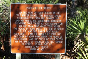
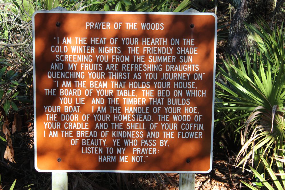
The “Prayer of the Woods” is an attitude that many in this part of the panhandle try to live.
Photos: Molly O’Connor
30A in south Walton County is a special place.
Undiscovered for years, then developed… but developed more sustainably than most coastal panhandle communities – this area has now become a go-to destination for many in the southeastern U.S. Grayton Beach, Seaside, Water Color, and others were developed with idea of walkable-biking community and allowing as much nature to remain as possible. Many subdivisions use native plants for their landscaping. It is a neat area to explore.
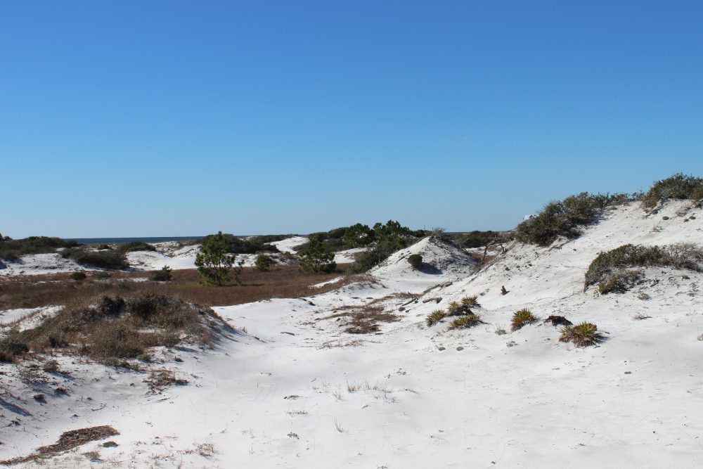
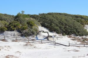
My base camp for this part of our ICW tour was Topsail State Park. Though there are numerous other locations to camp, they were all full… the 30A Song Writers Festival was going on at the time. The first thing I noticed was a bike trail that extends much of 30A itself. There were locations along the way where visitors can rent bicycles and it is a great way to take in the scenery… and there is scenery. Some of the more majestic dunes I have seen anywhere along the panhandle are found here. Dunes in Pensacola use to look like these but storms have taken their toll – somehow the dunes of 30A were spared.

The spectacular dunes of south Walton County.
The wind sculpted plants of the tertiary dunes.
You cannot talk about the dunes without talking about the dune lakes. Scattered across much of the panhandle the highest concentration, and least impacted, of these lakes are found here in Walton County. These freshwater lakes are separated from the high saline Gulf of Mexico by a field of dunes. There are channels that connect them but these are sometimes closed by moving sand. When open, these channels allow the brown tannic waters of the lakes to spill into the Gulf – a weird sight which trigger thoughts of pollution. You can see evidence of high tides entering the lakes with the presence of cordgrass and needlerush (classic salt marsh plants) and species of marine fish such as stingray and redfish. There is access to some of the dune lakes via the state parks. Here there are trails along the shore and through the dunes, and kayaks to rent. The gulf is not but a few feet away – this is a great place to bring snorkel gear or binoculars for birding.
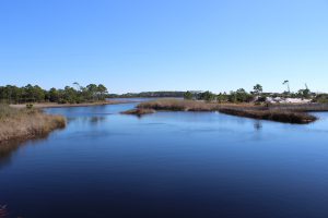
One of the many “jewels of south Walton” – the dune lakes.

In the distance you can see the brown-tannic water of a dune lake entering the Gulf of Mexico.
Black Needlerush is one of the species of marsh grasses that live in brackish conditions.
Dune trail at Grayton Beach State Park
The Gulf of Mexico in south Walton County.
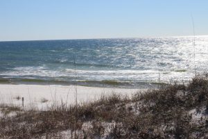
Another view of the Gulf of Mexico.
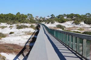
The boardwalk of Deer Lake State Park off of Highway 30-A. you can see the tracks of several types of mammals who pass under at night.
There are additional state park and state forest trail heads along 30A to explore. Accommodations are hard to come by during peak season so you will have to plan ahead – but a few days here is worth it.
If visiting the Escambia / Santa Rosa area be sure to check out the Naturally EscaRosa website and download the app to find great outdoor adventures in the western panhandle.

by Rick O'Connor | Apr 22, 2016
ALL PHOTOS: MOLLY O’CONNOR
As many of you already know each month we have posted articles about nature tourism locations along the Intracoastal Waterway in the Florida Panhandle. This month we visit coastal Okaloosa County.
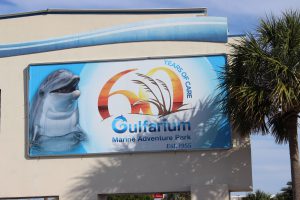
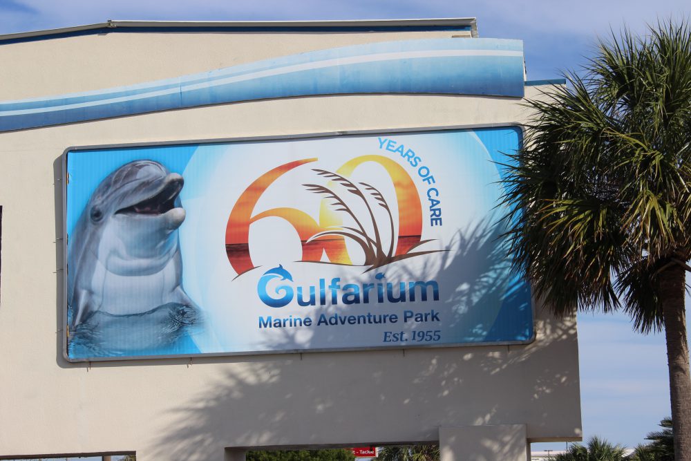
The Gulfarium in Ft. Walton Beach gives those who do not get a chance to go offshore, or dive, to see some of the unique marine organisms found in the Gulf of Mexico.

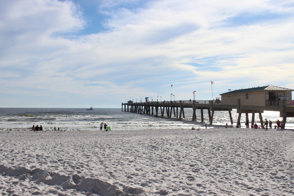
As with many other fishing piers along the panhandle, the Okaloosa Pier not only provides a spot for good fishing but a good spot to watch for marine life and great sunsets.
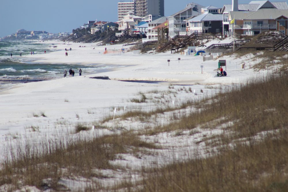
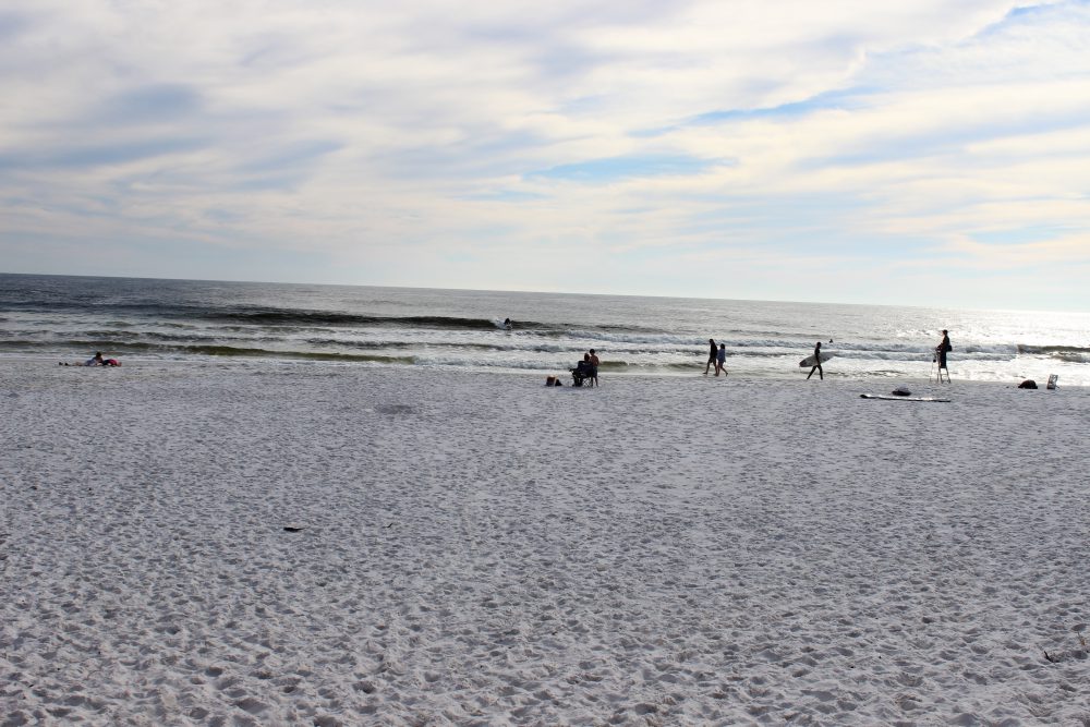
For years’ tourists have been visiting the beaches of Ft. Walton and Destin. The big draw has been the clean white sand but the area is also known for its really clear water. This clear water has supported a charter fleet that focuses on diving and fishing, but in recent years several operations have included inshore snorkeling and even trawling for marine life for tourists to view.
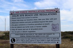
Many feel that you are not allowed on Eglin property. This is true for much of the island under their jurisdiction but there are places where you can park and enjoy the beach – though you must obey their rules.
Residents enjoying the beach at one of the public access points on Eglin property.
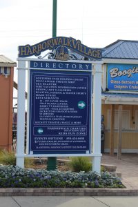
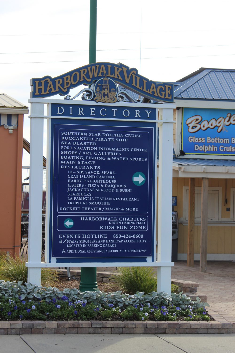
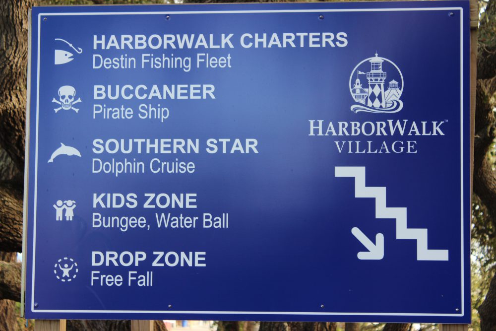
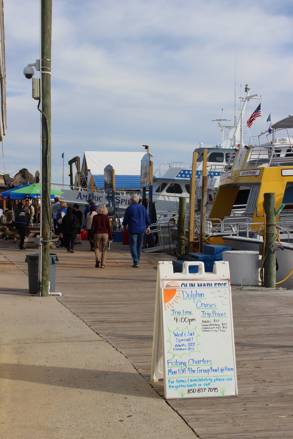
Destin harbor is now home the Haborwalk. There is a lot to see and do on the Haborwalk – and plenty of boat tours.
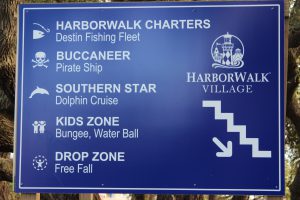
This sign gives the visitor some idea of the different activities that can be found along the Haborwalk.
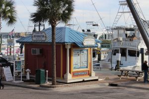
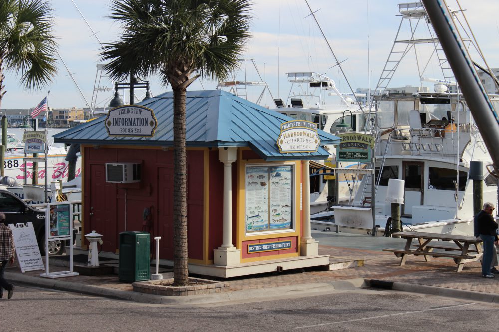
There are numerous types of tours to found along the Harborwalk. Information booths such as this one can help you find what you are looking for.
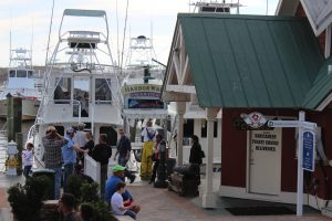
Charters include fishing, diving, snorkeling, and some collect marine life for you to see.

Dolphin cruises are very popular.
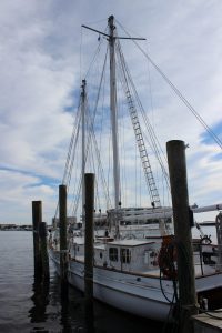
There are sailing charters that will allow you to experience the Gulf of Mexico, sunset cruises, and there are some designed with kids in mind.
Henderson State Park is on the south side of Highway 98. It has hiking trails, a campground, and access to the Gulf. This is a nice natural location within a very urban area.
One of the scenic trails where you can explore the natural dune ecosystem in Henderson State Park
ARTIFICIAL REEFS
The natural substrate for most of the northern Gulf of Mexico is quartz sand. There are areas of hard bottom, shell hash, and even some natural reefs but sand dominates the landscape beneath the waves. There is no question that the natural coral reefs of the Florida Keys have been a huge economic engine for that part of the state. The clear, high saline water is filtered by the Everglades and allows much needed light to reach the tiny coral polyps and their symbiotic plant partners, which in turn produce limestone substrate for the polyp colonies to live and grow on.
Locally we have rivers that discharge into the Gulf but the water clarity is still pretty good. The bigger problem for coral development here is the cold winter temperatures and the lack of hard substrate for coral colonies to attach. There are several species of corals, and other encrusting invertebrates and plants, that can tolerate our cooler winters but substrate is still an issue. The answer… artificial substrate… artificial reefs.
Northwest Florida and Alabama have one of the most active artificial reef programs anywhere. Thousands of structures from small concrete pyramids, to chicken coops, to U.S. Navy vessels have been dropped to the bottom. The concept is “build it… and they will come” – meaning the encrusting organisms and eventually larger predatory fishes. At first artificial reefs were just left over rubble and car bodies that were indiscriminately dropped on the Gulf floor. But over years’ marine scientists began to monitor and evaluate what works and what does not and artificial reefs became a science. One question has not been answered… do artificial reefs generate more fish for fishermen – or do they just congregate the existing number of fish into more easily accessible points in the Gulf for easy capture? There is science that supports both arguments… and the debate continues. But if you want to know whether artificial reefs have been an economic success the answer is… yes… by the tens of millions of dollars it has. The charter fleets of Ft. Walton, Destin, Panama City, and Pensacola have all benefited from the artificial reef program. There are numerous structures to dive and many are part of the Florida Panhandle Shipwreck Trail.
If you get a chance take a charter and dive, or fish, one of these interesting and well thought out habitats. Next month we head further east to Walton County and the famous “30A” highway.