by Rick O'Connor | Feb 20, 2015
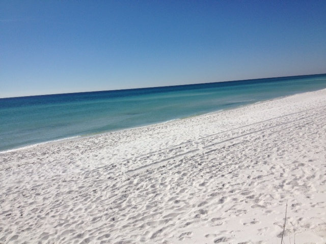
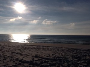
Making the Big Sabine hike on Santa Rosa Island in February was COLD! A front had pasted over the day before and temp was in the 30’s with a north wind. But the sky was a beautiful blue and the Gulf was calm and clear.
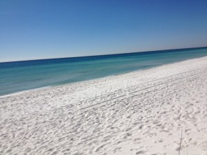
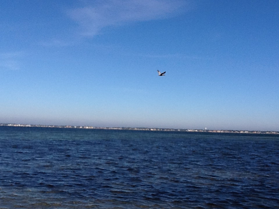
The Gulf is smooth and clear most winter mornings.
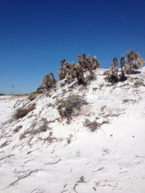
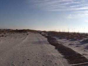
Wildlands Environmental High School from Wisconsin making a dune hike on a cold Florida morning.
Joining me on my hike this month was the Wildlands School from Wisconsin. They were visiting the Gulf Coast working on a variety of projects and wanted to learn more about coastal ecology… so I brought them along. Because of the drop in temperature we did not see much wildlife. In January I saw very little other than birds. In February we saw few birds… it was really cold. As we hiked from the Gulf to the Sound we discussed barrier island and dune formation and showed many of the plants common in the different dune fields we mentioned in our January issue. Most were brown in color but there were a few evergreens and we even had one secondary bush blooming! Beach Heather (Conradina canescens).
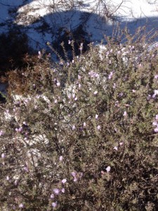
Beach heather (Conradina canescens) blooming early in the year on a cold morning.
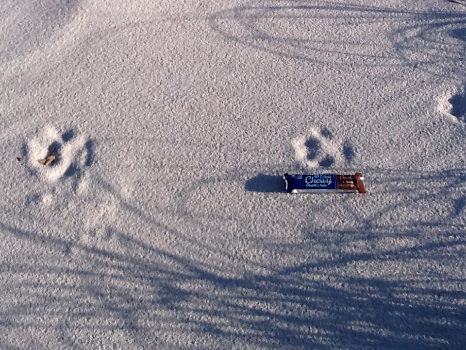
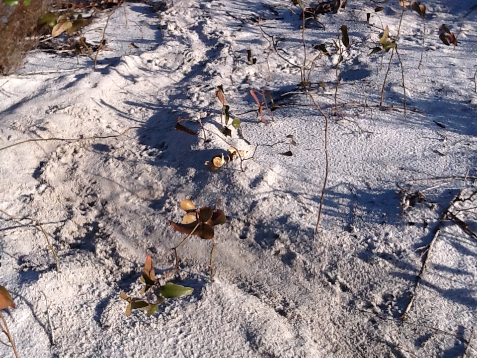
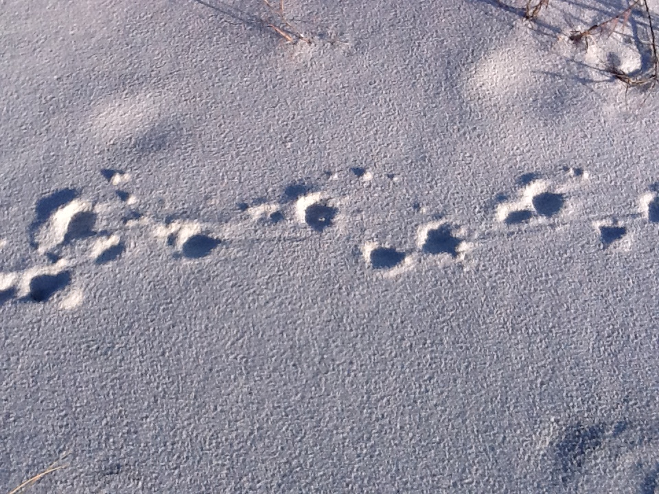
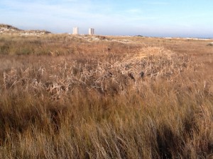
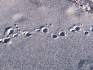
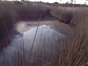
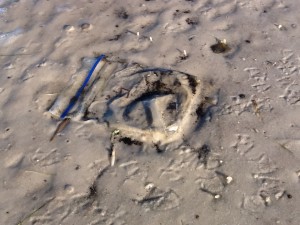
We did see a few mammal tracks and had a chance to discuss “animal sign” with the students, but no live animals were seen. The kids from Wisconsin were introduced to cactus (literally… many had it on their shoes) as we walked through the maritime forest and I had a chance to explain the xeric conditions found on our barrier islands and how this favored particular plants and animals. While in the maritime forest we also came across an old aquaculture facility and this gave me a chance to discuss this industry as well. But for me the most interesting discovery in the maritime forest was a “drag-line” that I had found in January near one of the ponds. As we walked past this area again – it was there again and seemed to be “fresh” (recently made). I am not sure what makes these drag marks – have a few guesses – but am hoping to discover the source before the end of this series.
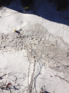
Strange drag marks we have seen each month so far. They are found near one of the ponds on the Sound side.
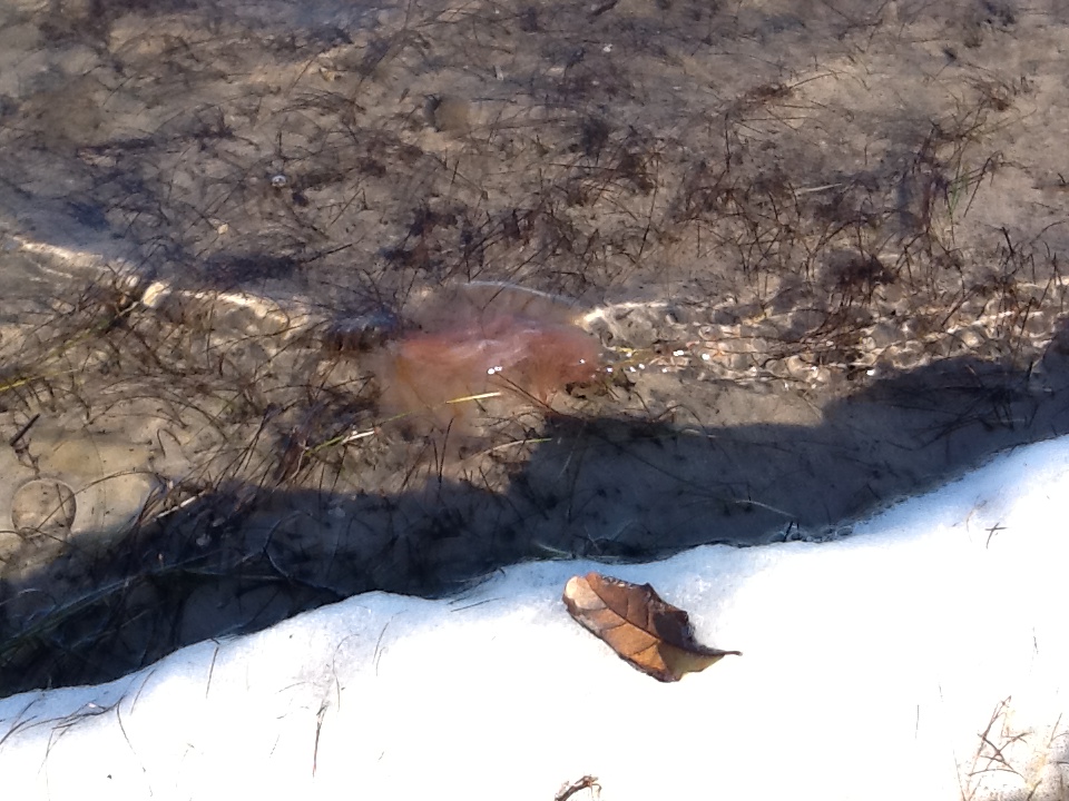
Despite the north wind the Sound was calm and clear. Most of the marine creatures had moved into deeper-warmer waters but we did find a dead cannonball jellyfish. The students from Wisconsin got a chance to hold the slimy creature and we discussed how the stinging cells (nematocyst) work. These small cells on the tentacles of jellyfish have a triggering mechanism that is actually discharged by the object that touches it… the jellyfish does not do this. Once the trigger is moved a dart with a drop of venom is discharged into whatever triggered it. Several of these firing at once is what causes the pain we feel, or the death of a small fish. They were also excited to discover a primitive camp site that locals use. I explained the correct protocol for doing this and hope that locals do the same.
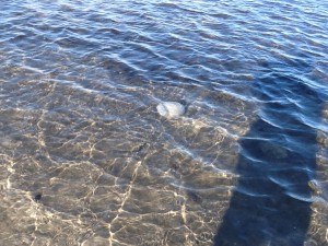
I found this along the shore last winter. These are cannonball jellyfish.
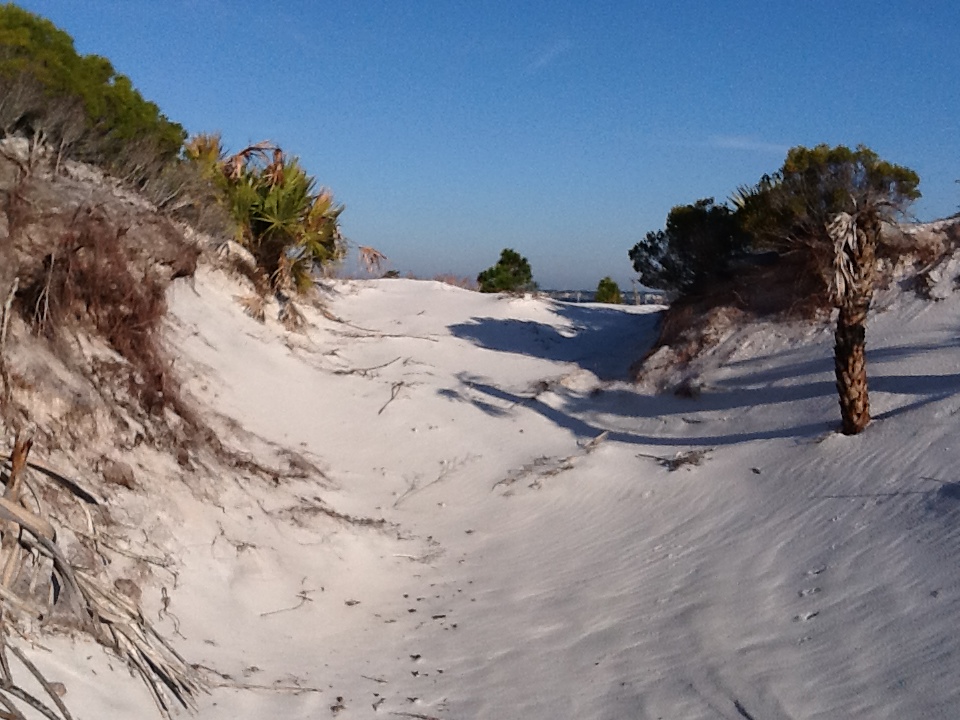
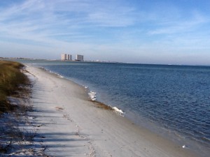
Though there was not a lot of wildlife to view in February but the beach is absolutely beautiful this time of year. The sunrises and sunsets are amazing. I encourage local “panhandlers” to visit your local island and take a long walk. I think you will enjoy it.
by Rick O'Connor | Jan 16, 2015
Beginning this month we will be posting a series of natural resource articles high lighting Florida’s Panhandle. The photographs and hikes presented in this series are from Escambia and Santa Rosa counties but the same natural places can be found anywhere between the Perdido and Apalachicola Rivers. We hope our readers will visit these places and DISCOVER FLORIDA’S PANHANDLE on their own. This year we will begin at the Gulf of Mexico and visit our BARRIER ISLANDS. We will visit the same location on Santa Rosa Island in Escambia County each month over the course of a year. During this series we should see how things change each season and learn more about our natural places.
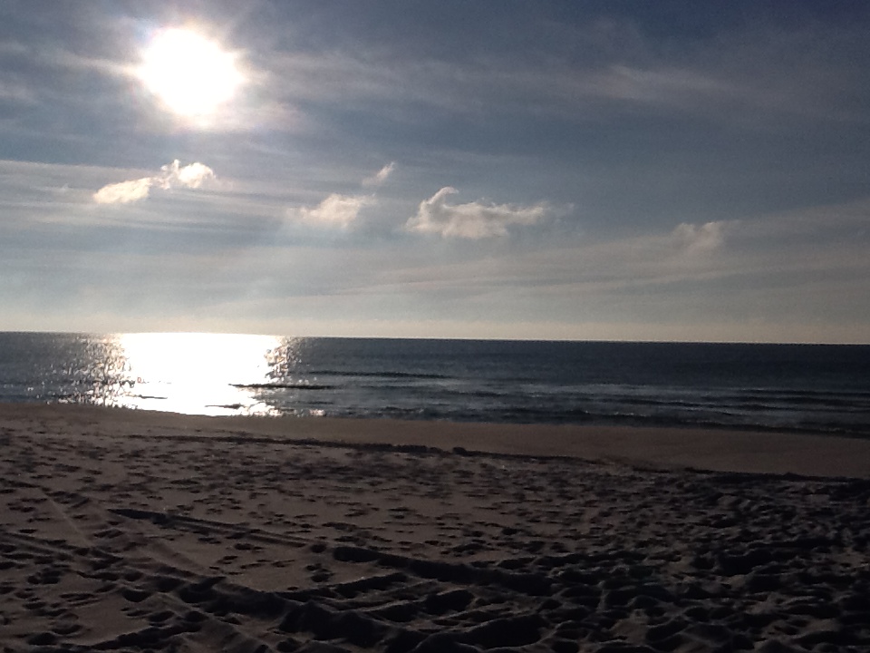
The Gulf of Mexico at sunrise. Photo: Rick O’Connor
Here is the Gulf of Mexico. The northern Gulf is primary sand but their are areas of hard bottom that provide habitat for many of our commercial important fisheries. 450 feet off the shore from this photo is an artificial reef placed by Escambia County for residents and visitors alike to explore. These reefs attract a variety of reef fish and sea turtles and are great for wildlife viewing. Notice how low the sun is in the sky on this winter morning. The shortest day of the year was December 21 (when the sun was it’s lowest) and will be “climbing” as this series continues. Many beach residents use this as their clock!
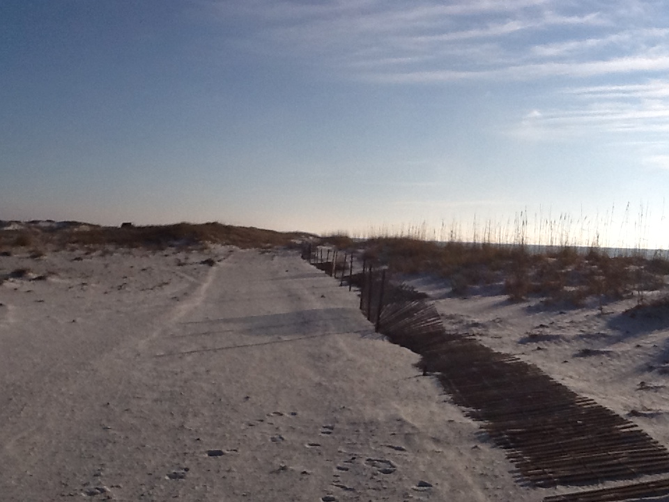
Our barrier islands are considered the “world’s whitest beaches” and this is because of the high amount of quartz deposited here. In this photograph you can see the water is farther from shore than usual. This is due to the strong north winds blowing water offshore; this happens every winter – but provides feeding opportunities for shorebirds. The sand fencing is used by many of our counties to “kick start” dune restoration.
Primary dune line with sand fencing. Photo: Rick O’Connor
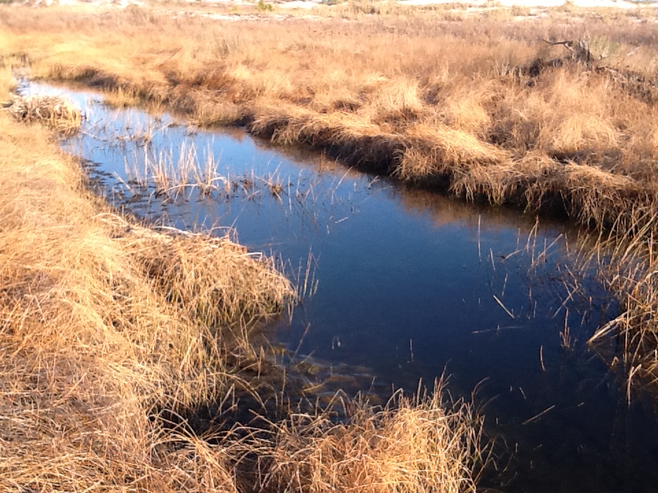
Beyond the primary dune on this portion of the island you will find low areas known as swales. These “depressions” will fill with water during rain events and provide much needed freshwater for the organisms who live out here. Barrier islands are xeric environments (meaning “desert like”) and freshwater habitats are very important for many creatures. Some of these ponds are ephemeral (meaning non-permanent) and dry up during some periods of the year.
Swale with dead cattails. Photo: Rick O’Connor
Small pines on the edge of a swale. Photo: Rick O’Connor

The water in most swales is freshwater. Photo: Rick O’Connor
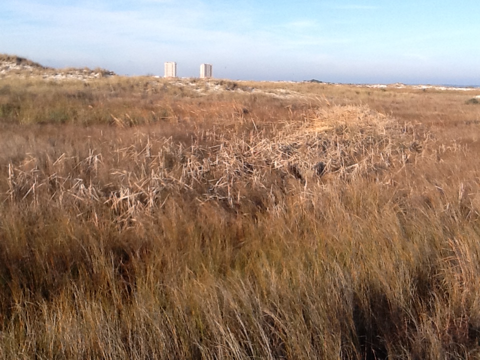
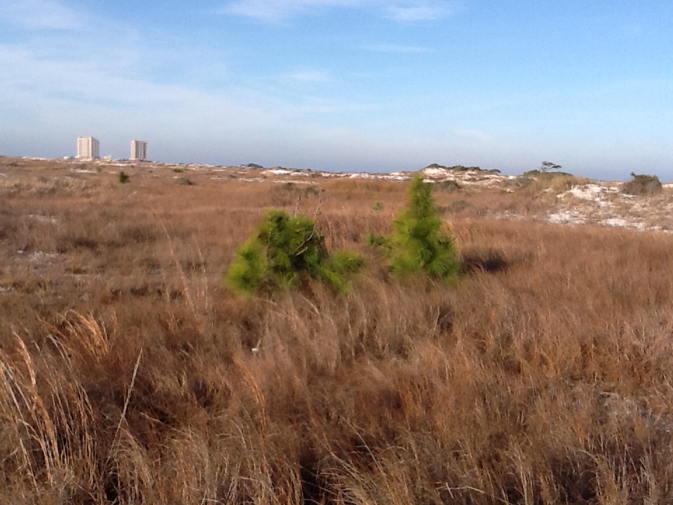
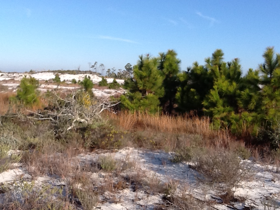
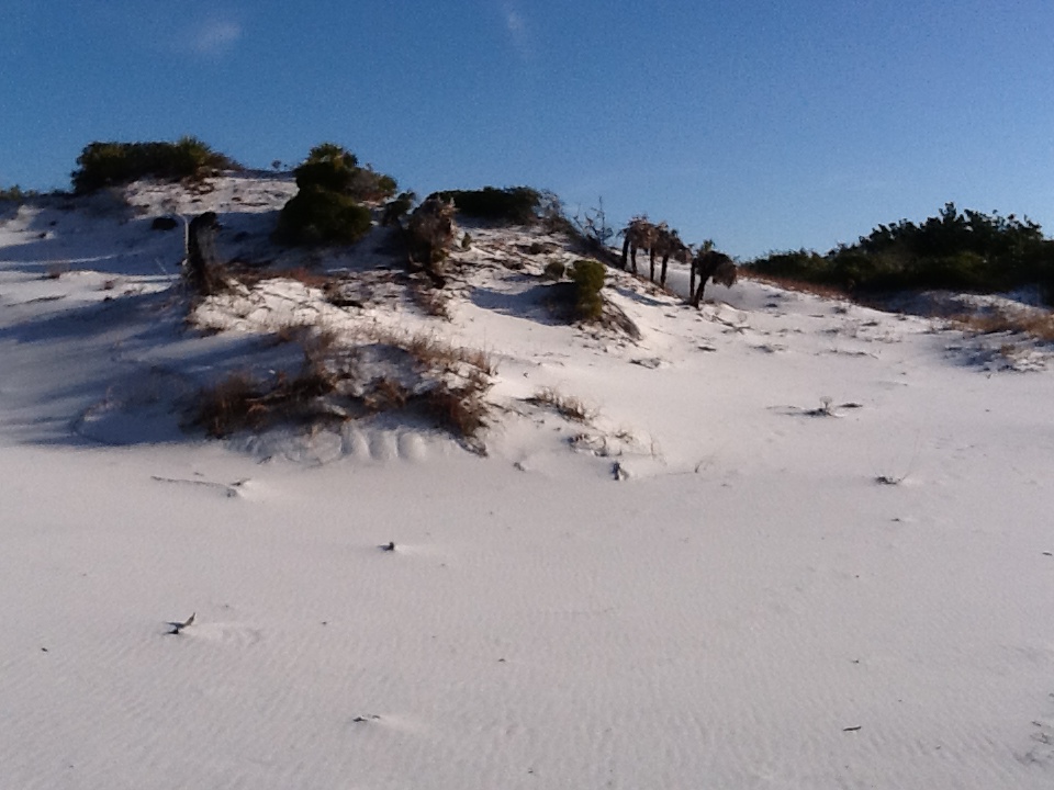
Where the primary dune and swales end the secondary dune fields begin. Because of the primary dunes there is less wind and salt spray which allows different species to take root. The secondary dunes are often identified by their small round shrubs – such as goldenrod and beach heather. These larger plants will trap larger amounts of sand producing larger dunes. On the secondary dunes I usually find lots of tracks. Identifying tracks is difficult (especially in soft sand) but fun. Most of what I saw this winter day were mammals. Raccoons, opossums, and armadillos are very common. Skunks were once common but have been scarce since the hurricane years. Below are tracks of a canine. Many people bring their dogs to the beach but coyote and fox are also found here. These tracks measured about 3.5″ and more round than triangle shaped; suggesting this is a dog.

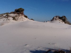
Small secondary dune with small pine trees.
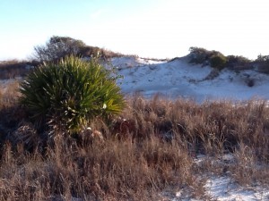
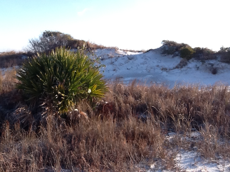
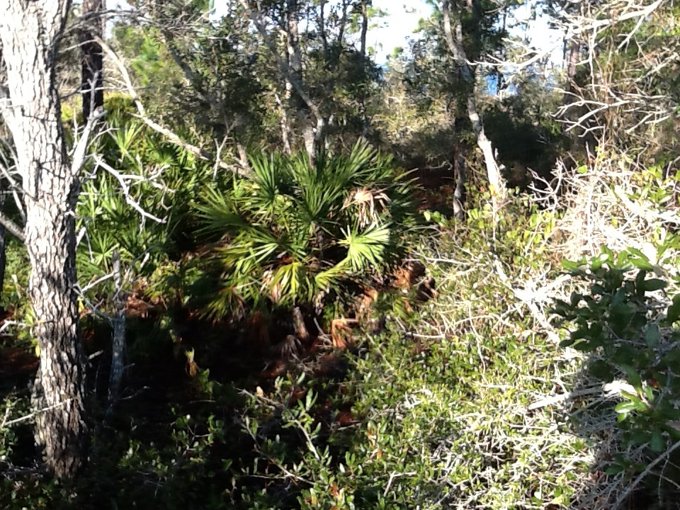
This secondary dune supports a saw palmetto. Many forms of wildlife depending on these shrub areas.

These unidentified canine tracks are probably of a dog; though coyotes are on our islands
Beyond the secondary dunes are the largest dunes on the island, some measuring over 50′, these are the tertiary dunes. With the secondary dunes blocking wind and salt spray larger plants still are allowed to grow. Here we find actually trees; pine, live oak, magnolia to name a few. With the loss of primary and secondary dunes the tertiary dunes are exposed to the wind and salt spray of the Gulf side, which puts them at risk. This is why sea oats and primary dunes are protected in most counties.

The face of a tertiary dune. Photo: Rick O’Connor
Tertiary dunes are the largest dunes on the island; some reaching over 50′.
Tertiary dunes support trees such as this magnolia and yaupon holly.
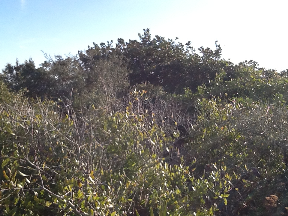
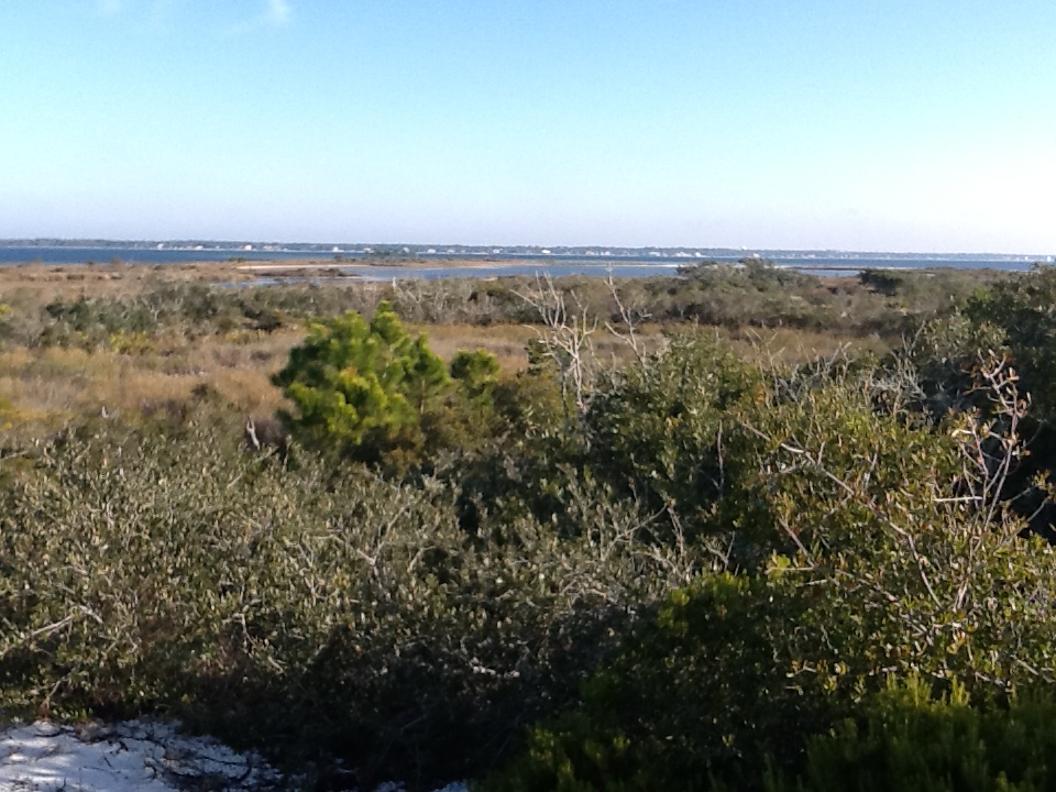
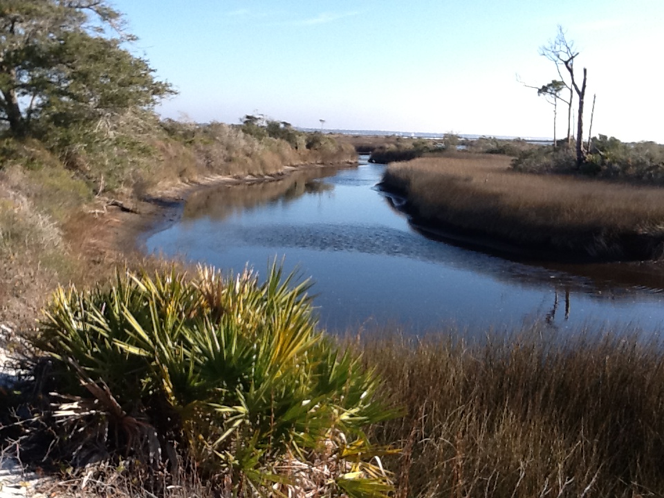
The large field of tertiary dunes blocks enough wind that forests and salt marshes can establish themselves on the back side of the island. Here the diversity and abundance of wildlife increases. We have found not only the mammals already mentioned but snakes, freshwater turtles and terrapins, and a variety of birds. This winter day I found several small woodland and mocking birds. Some of our islands have deer and alligators.

From atop a tertiary dune you can view the maritime forest, salt marsh, and sound beyond. Photo: Rick O’Connor
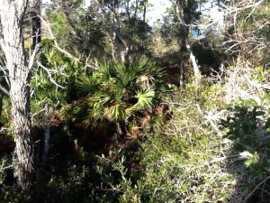
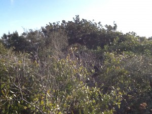
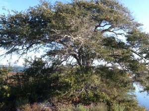
Within the maritime forest you will find a variety of plants and animals.
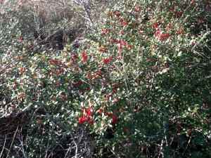
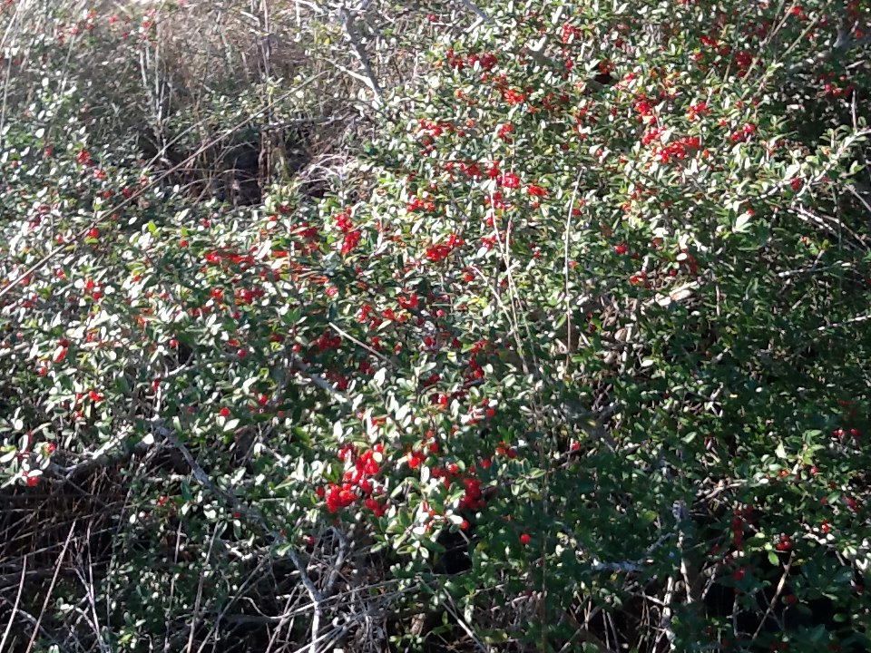
Holly’s are famous for having the bright red berries around Christmas time. Here in January the berries are still found on some of them.
Between the maritime forest and the salt marsh you may find freshwater ponds. Like the swale ponds, these places are great places to find wildlife. Though I have not seen them in many years I have found alligators in this area. These ponds support populations of amphibians and small fishes.

This freshwater pond has bull minnows, amphibians, snakes, and – in the past – alligators. Photo: Rick O’Connor
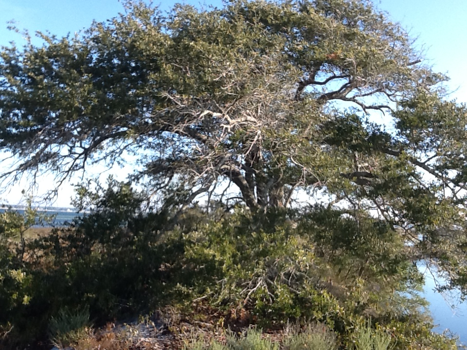
With the dunes blocking offshore winds trees can grow much larger on the back side of the island; like this live oak.

This pond supports a stand of green algae which supports many of the aquatic animals that visit here.
On this winter day I primarily saw bird life. The air temperature was 39 F and the wind was out of the north. Many of the mammals move at night and the reptiles, being cold blooded, were hibernating somewhere; the bird life however was pretty active. Many woodlands birds were out feeding on seeds and berries, herons and egrets were in the marsh hunting fish in the shallow waters, and shorebirds were picking through the beach wrack and some were diving.
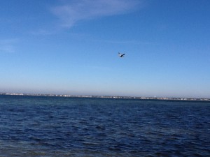
This pelican is searching over Santa Rosa Sound for a fish to feed on. Photo: Rick O’Connor

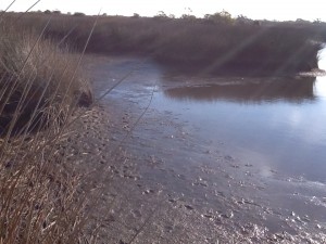
This unusual drag was found between the salt marsh and the sound side shoreline. It looks like a turtle crawl but at his time of year more probable something being dragged by something.
Armadillo tracks can be identified by their “tail drags”.
Salt marshes are one of the most productive systems on earth; and the target for another FLORIDA’S PANHANDLE series. Crabs, shrimp, mollusk, worms, terrapins, fish, and birds are some of the wildlife that call this place home – and maybe we will find some as this series continues into the warmer months. Today I found pelicans, herons, and egrets here eating.

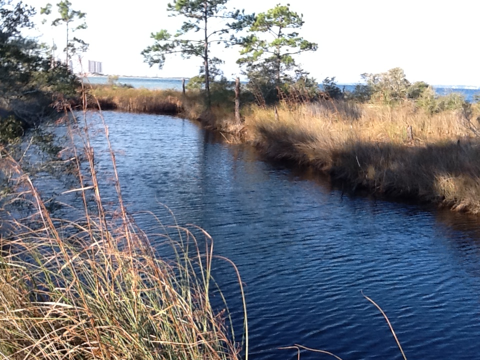
A finger of a salt marsh on Santa Rosa Island. The water here is saline, particularly during high tide. Photo: Rick O’Connor
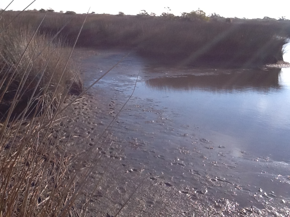
The muck of a salt marsh. This rich organic mud is very loose and the hiker can quickly sink! Notice the tracks of a predator.
Notice the low water levels typical of winter. This congregates fish into smaller pools and makes it easier for birds and mammals to catch them.
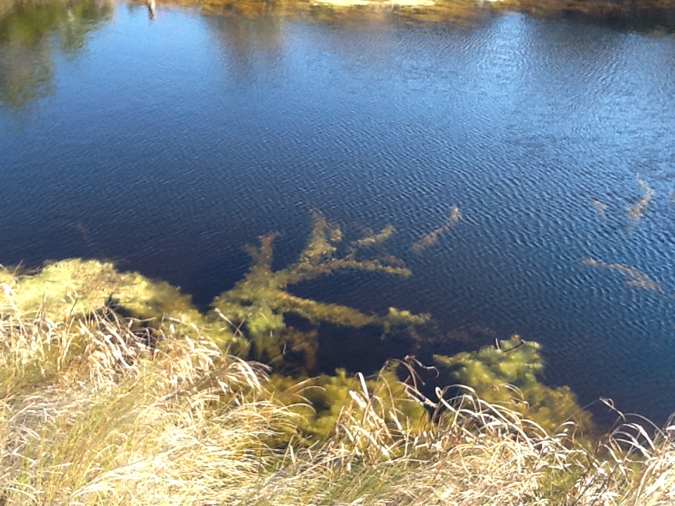
The Sound side of the island has wind but less wind than the Gulf side. The wave energy here is also lower supporting seagrass and oyster communities. Like the marsh these places are very productive; though all I really saw moving on this cold winter morning were the birds. There are two species of seagrass common to our sounds; turtle grass and shoal grass. However there have been reports of more tropical species appearing. We may find some when the water warms up. These waters support at least 100 species of fish and many invertebrates we enjoy eating.
The darker areas in the water are seagrasses. Photo: Rick O’Connor
I found this along the shore last winter. These are cannonball jellyfish.

This is a sea nettle. This species of jellyfish has a more painful sting. I only saw one of these today but saw several cannonballs.
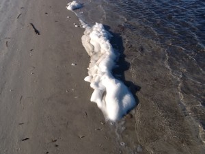
People find this “sea foam” frequently when they visit the beach. It is formed when the winds pick up and there are nutrients in the water. It was up and down the beach today.
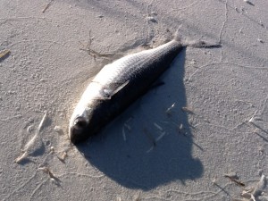
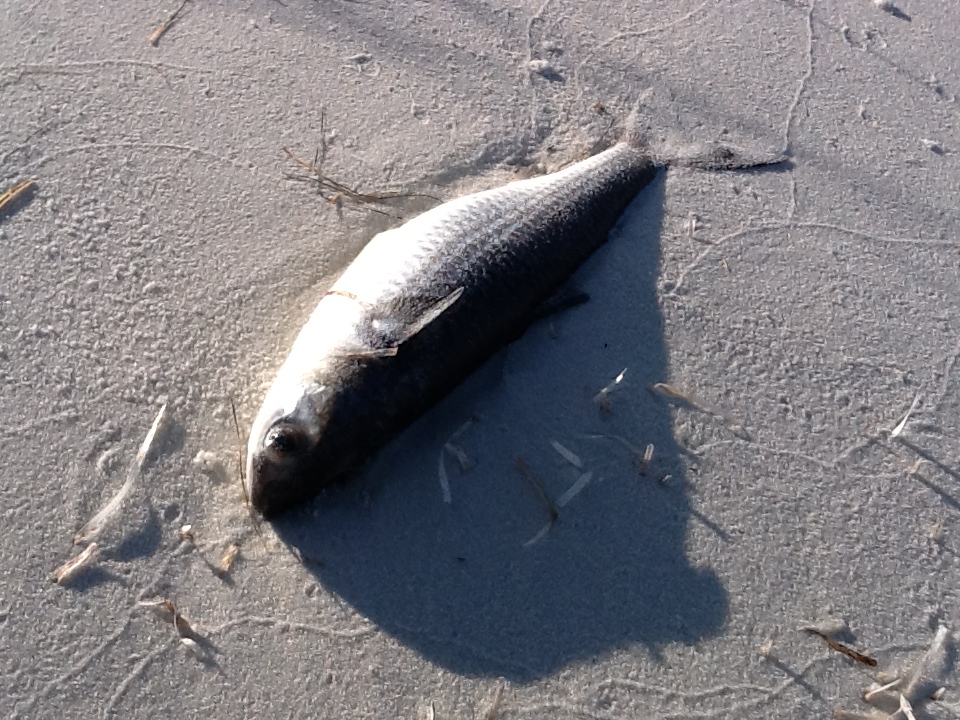
It is not uncommon to find dead fish along the shore after a hard freeze as we have had in recent weeks. When it warms these dead fish will attract scavengers including cottonmouths. Maybe we will see one later in the year.
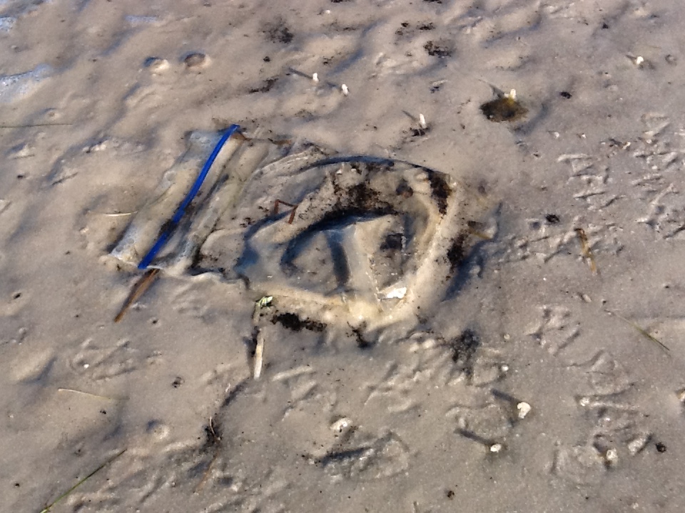
There was very little trash on the island today but it was there. These pieces of debris can cause serious problems for coastal wildlife. We will discuss this issue more as this series moves on.
Well, for January we found the beach to be cold and windy. Very little wildlife was out to be viewed other than birds and the numerous tracks in the dunes, but as the temperatures warm we will see more. Take some time to visit our barrier islands and enjoy them. Until February.