
Oyster Reef Mapping in the Pensacola Bay System, how is oyster reef mapping done?
Santa Rosa Portion of the Oyster Mapping and Assessment Project
Santa Rosa County R.E.S.T.O.R.E. has funded the SRC Oyster shell recycling program and the Pensacola, East and Blackwater Bays Intertidal and Subtidal Oyster Reef mapping and Assessment projects. The Nature Conservancy is managing the oyster reef mapping and assessment project and has contracted with MREC Environmental, LLC to get the work done.
The purpose of the project is to map and assess the condition of known and potential intertidal and subtidal oyster reef resources in the Santa Rosa County portion of the Pensacola Bay system. Results of this mapping project will establish a baseline of the existing locations and condition of oyster resources in SRC. This information will help to guide future restoration projects.
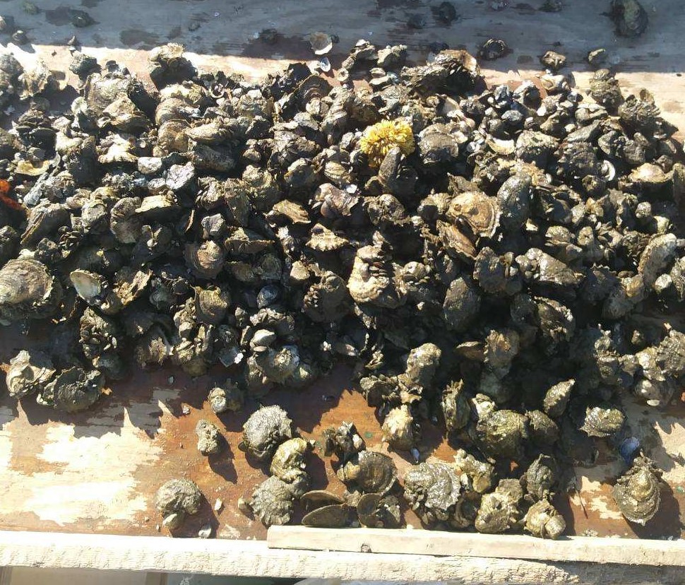
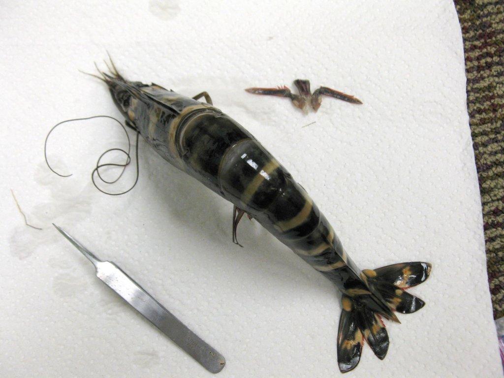
Subtidal oysters are harvested in clumps and are culled using a large knife or hatchet. Photo credit: Calvin Sullivan
Intertidal reefs are typically exposed at low tides and found along the shoreline of our bay system. Sub-tidal reefs are found under water. Gabe Johnson, owner of MREC Environmental has verified existing intertidal reefs using a jet-ski in the fall of 2020. Our bay system does not have as many natural intertidal reefs as in other parts of Florida. There are existing intertidal reefs that have been installed for shoreline protection and habitat enhancement.
Gabe Johnson and the crew of MREC Environmental are working to complete the initial bottom survey in early 2021. He has set up grids based on historic locations of oyster reefs throughout the Santa Rosa County portion of the Pensacola Bay system. He will then verify his findings by diving sites where oyster shell was found during the bottom survey.

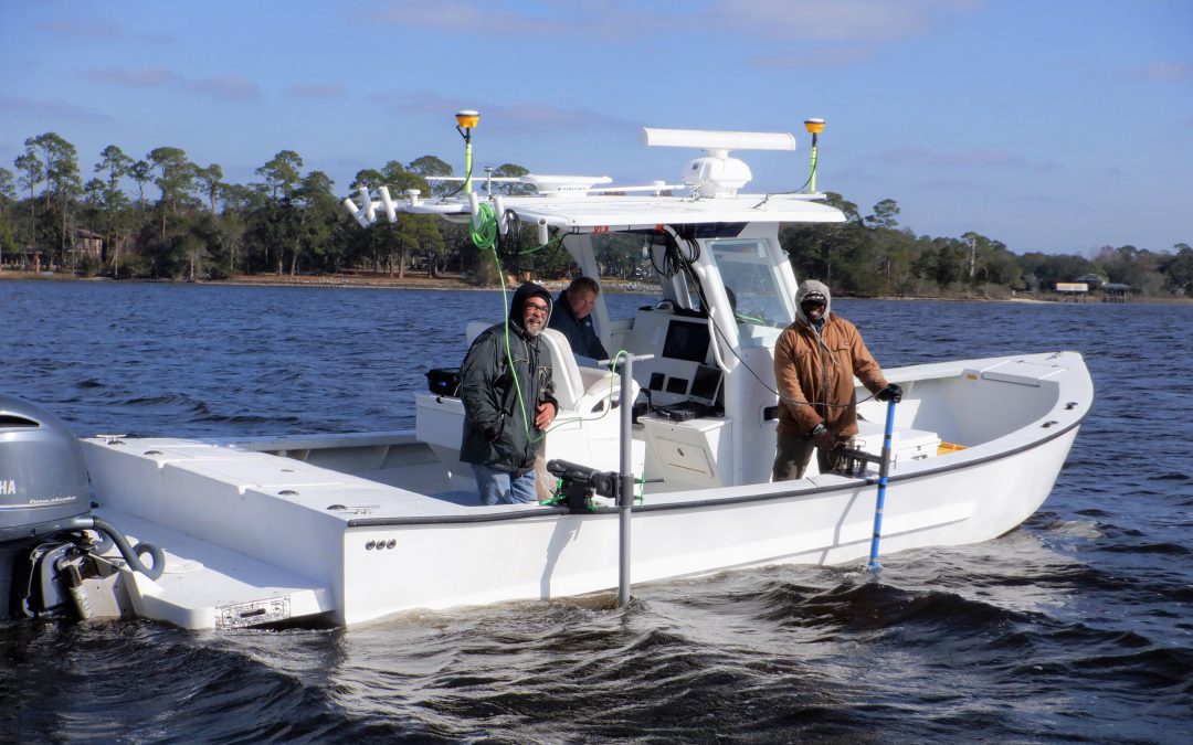
From left to right: Dale, Gabe and Reese of MREC Environmental. Phot credit: Chris Verlinde

Side scan sonar and echosounder along the side of the boat. Photo Credit: Chris Verlinde
Gabe and his crew are using one Side Scan Sonar, an Edgetech 4125i to map images of the bottom. The other instrument they are using is a Singlebeam Hydrographic Echosounder (Teledyne Odom Echotrac CV100). The echosounder is used to collect water depth data and contours of the water bottom. The echosounder is connected to a transducer. The side scan sonar and the transducer from the ecosounder are placed along the side of the boat and submerged while the boat travels over the transects to collect the underwater images and parameters.
![]()
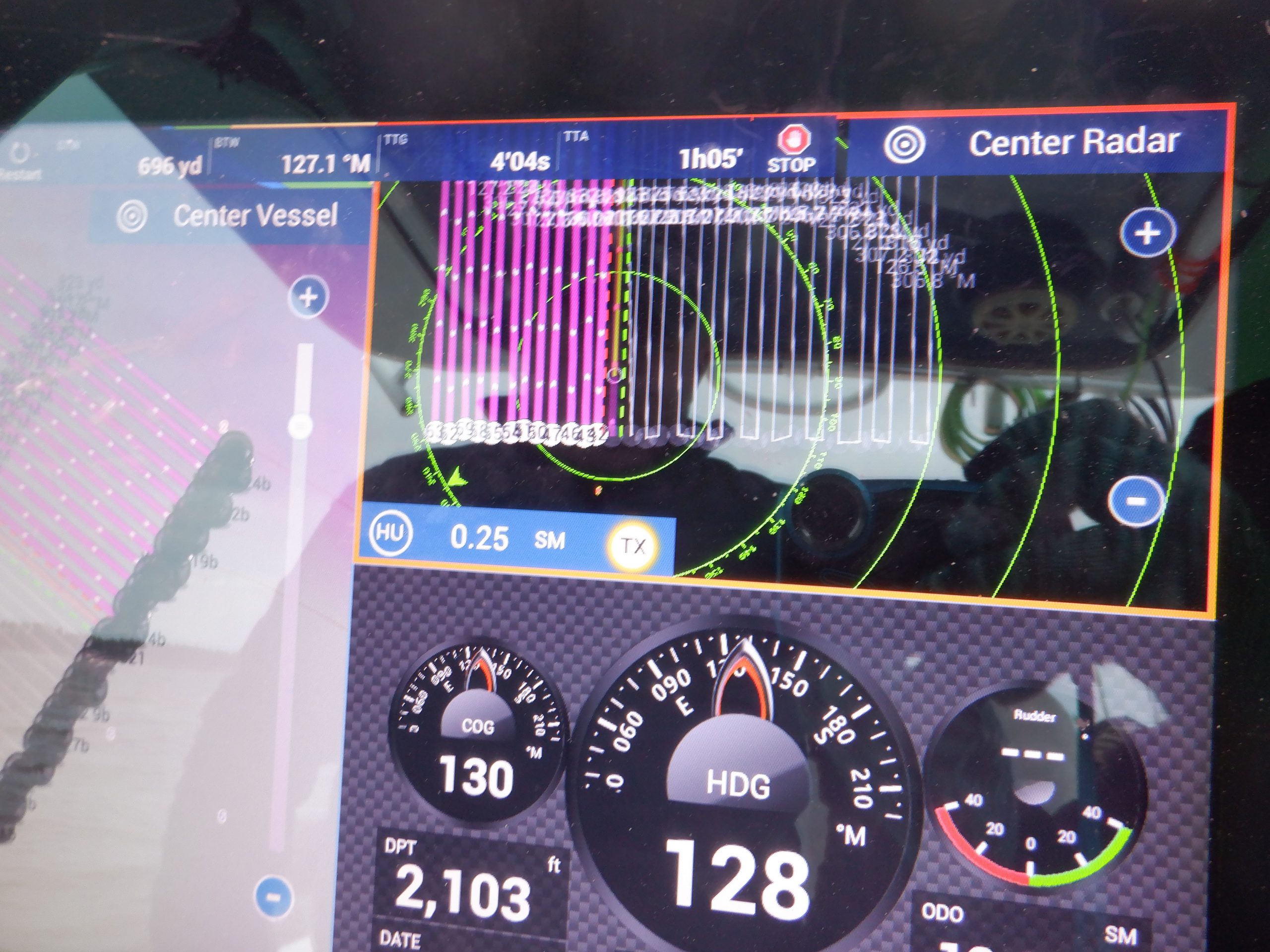
The pink lines are the transect lines of grid #25. Photo credit: Chris Verlinde

Dale dropping the pole to assess bottom characteristics. Photo credit: Chris Verlinde
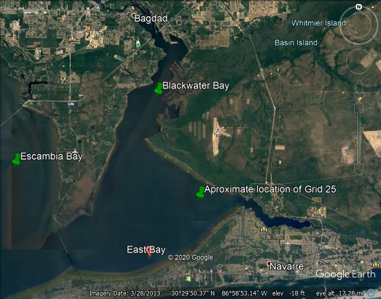
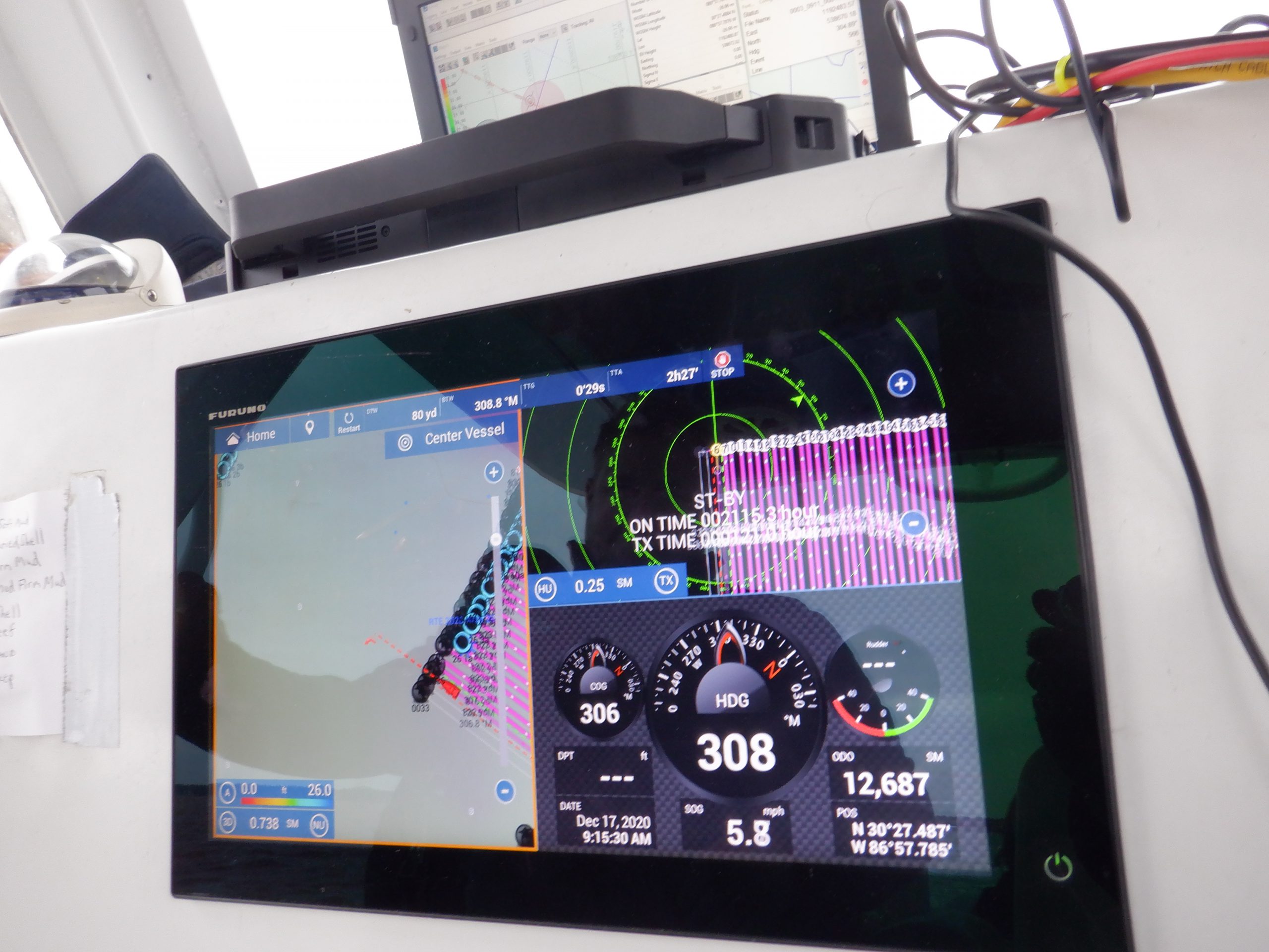
On a cold day in December 2020, Gabe and his crew covered 149.3 acres in grid #25, just west of the power lines in East Bay. Grid 25 included 32 parallel transect lines (2468 feet long), spaced 100 feet apart. This grid was completed in approximately three and a half hours by running the boat along each transect and recording data. In addition to the electronic data, one of the crew members used a fiberglass pole to assess bottom conditions. Approximately, every 10 feet or so, the pole guy would lower the pole and shout the condition of the bottom, either sand, mud, or shell. Gabe then recorded the point and code on his mapping software.
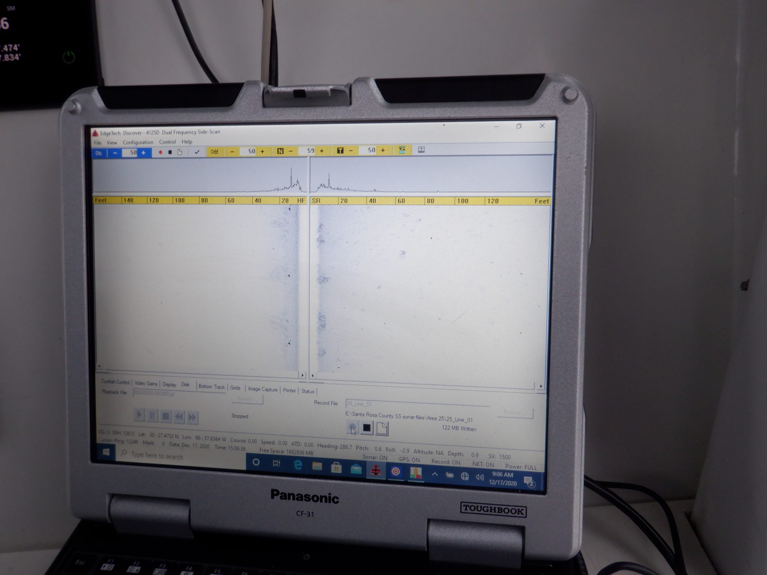
Image from the side scan sonar showing a sand bottom. Photo credit: Chris Verlinde
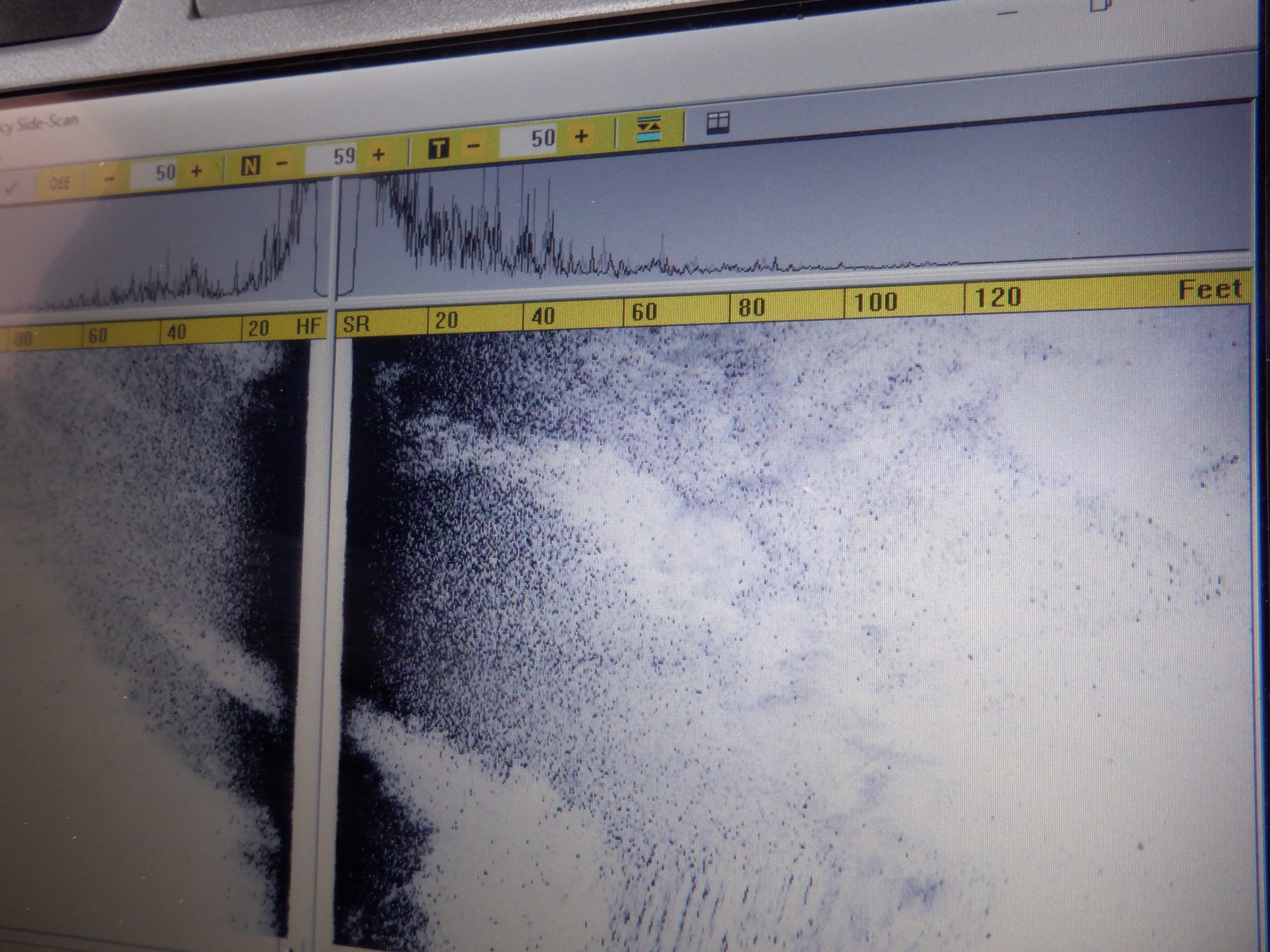
Side scan image of bottom with showing potential shell (the darker scatter area). Photo credit: Chris Verlinde
The raw data will be compiled into maps and a report that will be used to based future oyster fishery and habitat enhancement restoration efforts in East, West and parts of Escambia Bay.
