by Laura Tiu | Nov 20, 2015
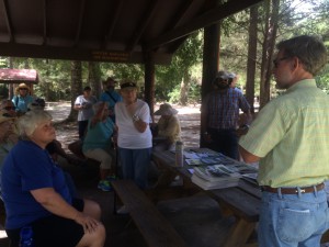
The Panhandle Outdoors LIVE team, with Extension Agents from eight counties, hosted an outdoor field day on August 26, 2015. Twenty-three participants from over eight counties in Florida attended the event and traveled to three local springs: Vortex, Ponce de Leon, and Morrison Springs. The goal of the day was to learn about spring characteristics, history, biodiversity and management issues. These popular springs in the western Panhandle are managed by three different entities – the private sector, local government and a state agency.
The day began at Vortex Springs. Three generations of the same family have owned and managed this popular dive resort in the Panhandle. The current owners shared the history of the spring along with a family photo album highlighting the growth and development over the years.
Vortex Springs Dive Resort
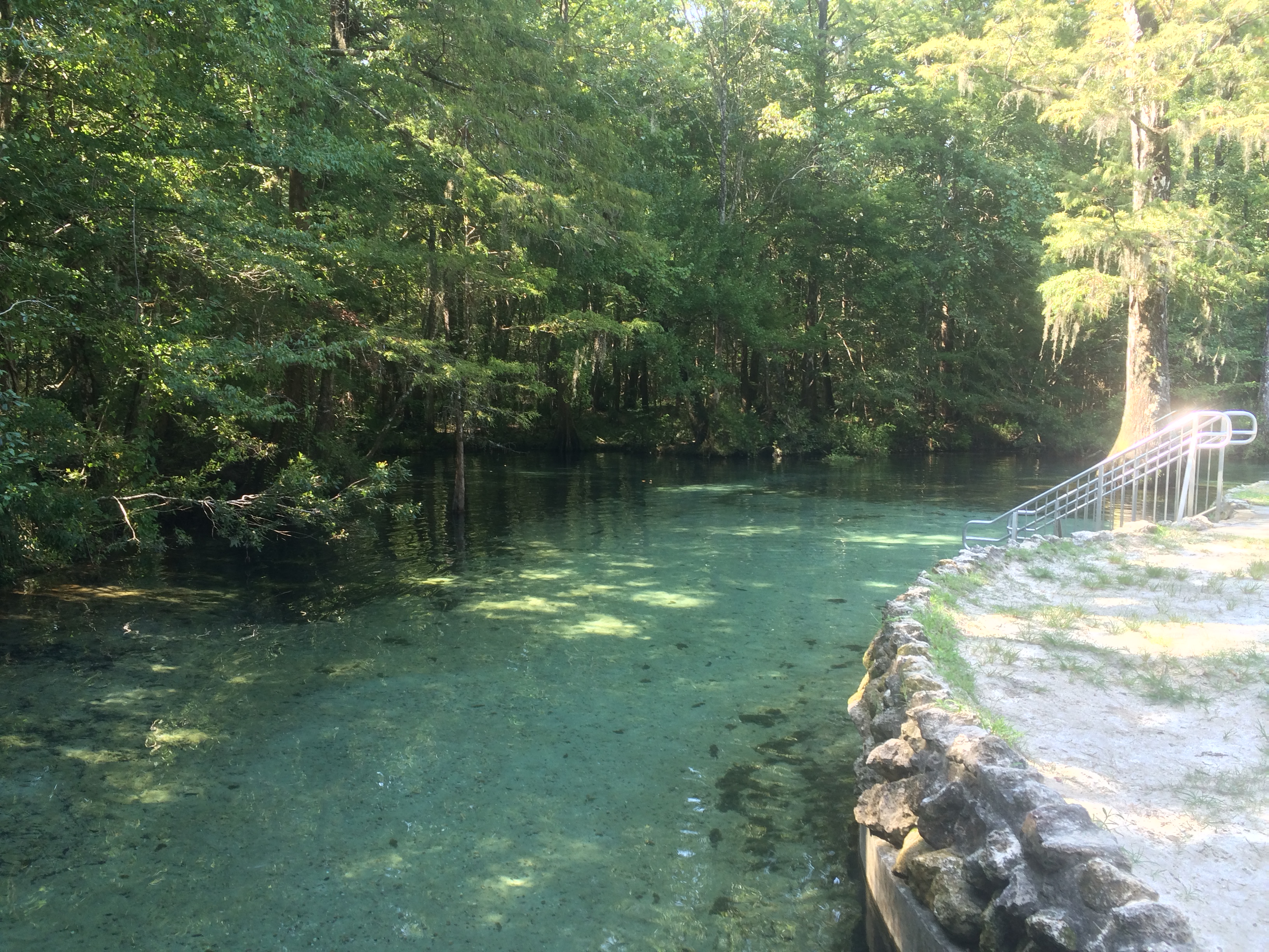
Vortex Spring produces 28 million gallons of crystal clear water daily at a year-round temperature of 68 degrees. Depths in the spring basin range from about 50 feet for a cavern dive and up to 115 feet for a cave dive. The bottom of the spring bowl is sandy, with limestone near the vent. Vortex waters flow out of the 225-foot-diameter spring pool to form Blue Creek, which flows over a half-mile before entering the Choctawhatchee River. Fish at the spring are tame, coming right up to visitors, and include bluegills, channel catfish, American freshwater eels, gar, redhorse suckers, shadow bass, and exotic species such as koi and goldfish (floridasprings.org). One of the biggest environmental challenges the owners face is controlling an invasive aquatic plant, hydrilla, which rings the basin.
The next stop was Ponce de Leon Springs State Park where participants learned about the springs and had lectures on water quality, Florida Friendly landscapes and storm water management. Managed by a state agency, this beautiful spring is named for Juan Ponce de León, who led the first Spanish expedition to Florida in 1513 – as legend has it – in search of the “Fountain of Youth”. Visitors might well regain their youth by taking a dip in the clear waters where the temperature is a shocking 68 degrees F. year-round.
Leon County Extension Agent, William Sheftall, shares information on watershed management
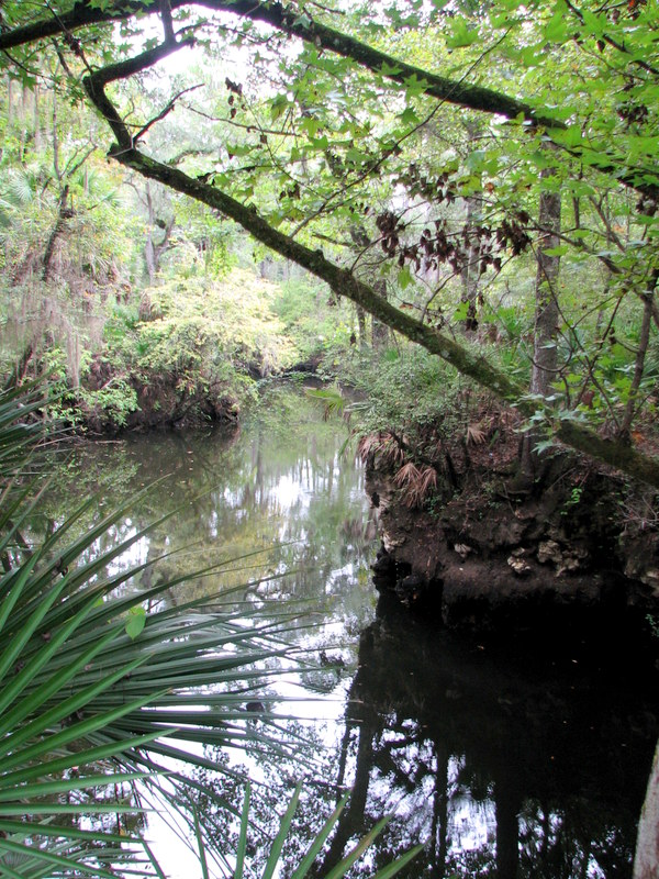
The main spring produces 14 million gallons of water daily into a crescent-shaped basin with depths averaging five feet but increasing to 16 feet over the vents. The bottom is sand and limestone and gives the popular swimming area a light greenish blue appearance. The spring-run is approximately 350 feet in length and flows into Sandy Creek, a blackwater stream, which subsequently flows out of the park and into the Choctawhatchee River (floridasprings.org).

The spring run at Ponce de Leon Springs flowing into Sandy Creek
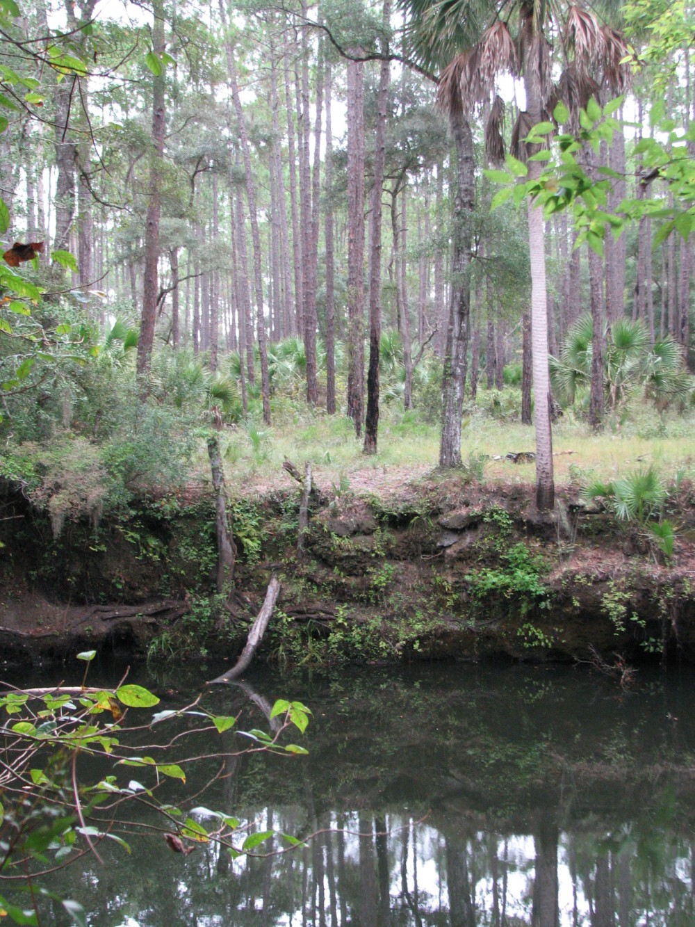
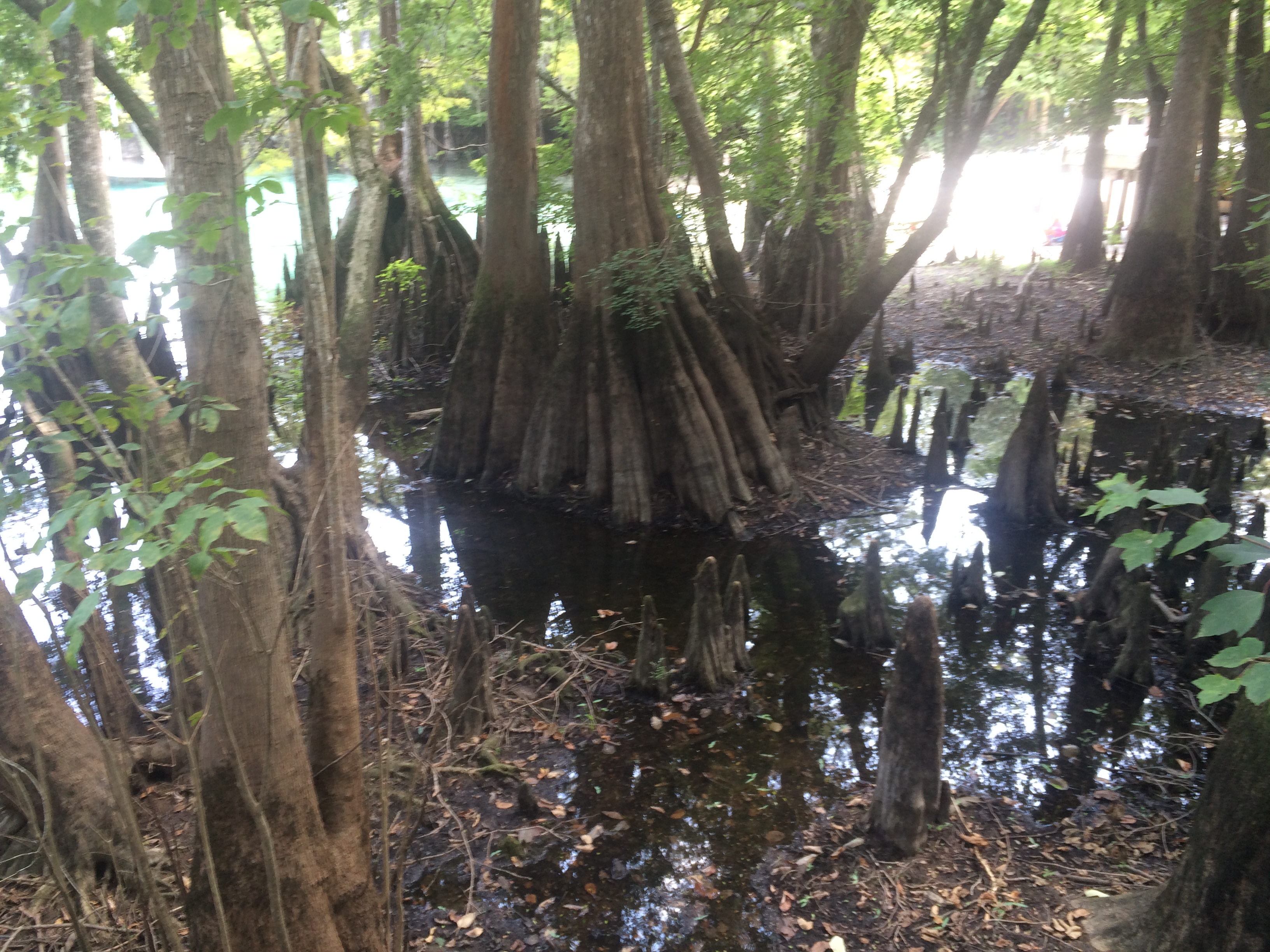
Our final destination was Morrison Springs. Morrison Springs is managed by Walton County, whose Commissioner and Habitat Conservation Plan Coordinator shared the history of the springs and the development work that has been completed. The large, sandy-bottomed spring is surrounded by a 161-acre park and is a popular spot for swimming, snorkeling, diving, birding, photography and nature walks . Morrison Spring discharges an average of 48 million gallons of crystal-clear water each day to create a 250-foot-diameter spring pool and a spring run that flows into the Choctawhatchee River (floridasprings.org). The springs are home to a healthy fish population with largemouth bass, bluegill, carp, white mullet, and pickerel all being seen that day.
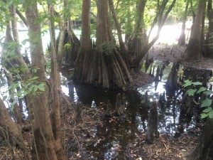
Beautiful cypress trees and knees ring Morrison Springs
Field day participants (86%) reported an increase in knowledge of the springs after the event with 59% indicating that they would change their behavior based on the information presented. Behavior changes mentioned were cleaning up trash, controlling personal fertilizer applications, making sure their lawn care company was certified, controlling erosion, conserving water and planting native plants. All of the participants (100%) reported being interested in attending future Panhandle Outdoor Live events. That is just the kind of encouragement the team needed, so be sure to watch our website for future event announcements.
by Rick O'Connor | Nov 6, 2015
Hernando de Soto and his party crossed the Aucilla River sometime in October of 1539 and celebrated Christmas in what is now Tallahassee. Many things in Florida have changed since de Soto passed this way, but when the 2015 Panhandle Outdoors LIVE! tour hiked the Aucilla Sinks portion of the Florida Trail this September, many things had not.
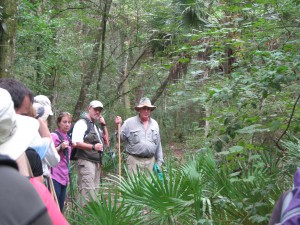
Panhandle residents explore the area of Aucilla Sinks with local guide David Ward.
Photo: Jed Dillard
Yes, the trail is maintained and marked by the Apalachee chapter of the Florida Trail Associations and there are bridges in spots, but the blood sucking bugs that bedeviled deSoto haven’t dissipated. More importantly, the spectacular and distinctive area provides a relatively easy hike that reveals the connections between geology and hydrology in an area with little disturbance by the settlers who followed the first Europeans into North Florida.
Hikers got up close and personal views of the Karst topography found in North Florida. This topography occurs as the tannic rivers and runoff dissolve the underlying limestone on their way to the aquifer. These connections and voids in the bedrock allow the Aucilla River to “come and go” above and below ground as it moves to the Gulf of Mexico as do all rivers in the Suwannee River Water Management District other than the Suwannee.
Native Jefferson county guide, David Ward pointed out the contrast between tannic water in the river channel and the clear water in caves near the river. “In those caves the water is crystal clear. You are looking at the water of the aquifer itself.”
Leon County agent Will Sheftall seized the opportunity to drive home how vulnerable Floridians are to ground water pollution and its effects on our water supply. “Here there’s little distance between the surface and the ground water. In these sandy soils, water moves quickly from the surface to the aquifer. Whatever is in that water can easily get into our ground water. Our personal activities and our public policies need to reflect that to ensure the future of Florida’s water quality.”
As we reached a slightly elevated area, Ward pointed out a longleaf pine/wiregrass community restored by reinstituting controlled burning. The open vegetation contrasts with the non-fire resistant species such as parsley hawthorn in wetter areas usually untouched by fire. “These pine savannahs were widespread when the Europeans arrived,” Ward noted. “Over my lifetime in these woods, I’ve seen appropriate management bring back these conditions closer to what we know it was like when the Europeans arrived.”

One of the many locations where the Aucilla River “rises from the limestone caverns beneath the earth.
Photo: Jed Dillard
Information on this section of the Florida Trail is available from the Apalachee Chapter of the Florida Trail Association, the Suwannee River Water Management District and Florida Fish and Wildlife Conservation Commission. Humidity never went below 80 percent during our late morning, early afternoon trip. November will likely provide less buggy and surely less muggy conditions. If you’d like to learn about this area from the comfort of your recliner or need some extra encouragement to strike out on the walk, check out this program previously broadcast by WFSU TV. http://wfsu.org/dimensions/viewvideo.php?num=184 Either way, you’ll know more about Florida’s spectacular natural world.
AUTHOR: Jed Dillard; Livestock and Forges Extension Agent; Jefferson County
by Carrie Stevenson | Oct 9, 2015

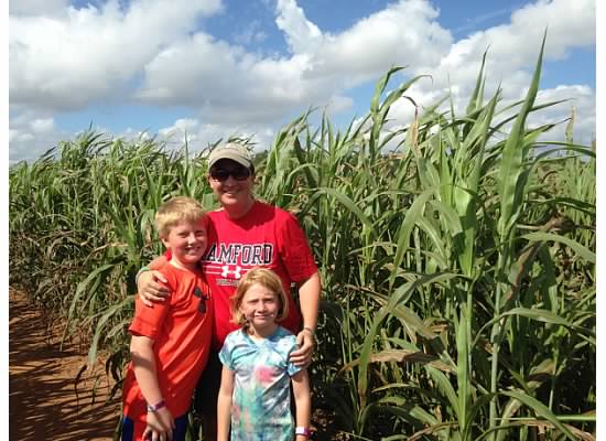
Corn and sorghum mazes are great family fun in October. Photo credit: Carrie Stevenson
October is a glorious time of year in northwest Florida. Temperatures are cooler, skies seem bluer, and the summer crowds have left the still-warm waters of the Gulf mostly to us locals. It is also the perfect time to explore the many local, state, and national parks nearby, or visit farms that share their harvest with the community. Santa Rosa County’s “Beaches to Woodlands” tour, now in its 12th year, is a perfect example of the many events and opportunities available to residents in our area. A schedule of 40 places and events over the next month can be found at the Beaches to Woodlands website.
As the summer heat fades, the weather is great for hiking! Photo credit: Abbie Seales
Escambia County will also host its annual Farm Tour this month, which highlights local growers of peanuts, cotton, and forestry. There are still spots available for this day-long tour of north Escambia County available online.
The newly released Naturally EscaRosa smartphone app, available free for iPhones (App Store) or Android (Google Play) lists 101 locations that provide outdoor adventure for every age and interest. From corn mazes and pumpkin patches to monarch migration and water sports, many local businesses provide services and products that are perfect for celebrating autumn in Florida.
Take the time this month to get outside, visit a farm, eat some locally produced food and explore the trails and wildlife in the area. You won’t regret it!
by Rick O'Connor | Sep 21, 2015
A portion of the Aucilla River flows through a landscape of dramatic and unusual geologic formations. Join us for this tour to see an amazing sequence of sinks and river rises, created as the river alternately disappears into the underlying karst and resurfaces. Fringed with moss-draped trees and native palms, the sinks are pools of black water easily viewed by walking the surrounding embankments along a 4.5 mile-segment of the Florida National Scenic Trail.
Your guides will cover the human history of this wildlife-rich Aucilla River landscape, which extends back 12,000 years to the Pleistocene epoc when mastodons, saber-tooth tigers and other large mammals roamed a landscape that resembled the African savannahs of today. The 1983 unearthing of a 12,000-year old mastodon tusk exhibiting cut marks— evidence of slaughter by humans — provides some of the earliest known evidence of man on this continent.
When: Wednesday, September 30th 2015 ● 10:00 am – 4:00 pm EDT
Where: meet at JR’s Aucilla River Store, 23485 US 98, Lamont, FL 32336 (east of the Aucilla River bridge, the boundary between Jefferson and Taylor counties)
Bring: comfortable hiking boots/shoes, weather-appropriate clothing, hiking stick or trekking pole, water bottle, bug spray, day pack; lunch prepared by Tupelo’s Bakery in Monticello will be provided
Cost: $25.00 per adult
Register at: http://uf-extension-pol-2015-aucilla-sinks-hike.eventbrite.com
Space is limited.
Please feel free to share this announcement and attached flyer with those you know who may be interested. And we hope you can join us for this trip if you’ve never seen this beautiful, mysterious place.
Will Sheftall, for Extension Natural Resource Agents in the Panhandle
sheftall@ufl.edu
by Rick O'Connor | Sep 21, 2015
A couple of years a few agencies in south Alabama put together something they called the Alabama Birding Trail. It was a relatively simple idea really – they developed a brochure that marked different locations where visitors could enjoy birding in the two county area. They had large signs posted at those locations so that the visitor knew they were at the correct location. There seemed to be a need for this with some vacationers and they provided… It was a big success. More and more visitors were using the trail. It became so popular they that conducted a survey and found that about 40% of the visitors who come to our Gulf coast are looking for outdoor/wildlife adventures to do. Ecotourism is becoming more and more popular.
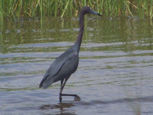
A heron exploring a local salt marsh for food.
Photo: Molly O’Connor
The panhandle is no different. Each year hundreds of thousands to millions of visitors come to our beaches. There is no doubt that we have some of the most beautiful beaches in the world, and they are a huge draw, but we have a lot of outdoor adventures to provide them as well. From scalloping in St. Joe, to snorkeling the jetties in Panama City, to fishing in Destin, to paddling in Navarre, to dolphin cruises in Pensacola the panhandle provides a wide variety of activities for both the local residents and visitors to enjoy – and employment for many.
So what does this have to do with estuaries?
Well, for most of these businesses a healthy wildlife population is needed. A dolphin cruise with no dolphin is not much. Visitors coming to stay on our beaches will certainly enjoy the white sand and emerald waters. They will return home with pictures and stories of how beautiful it was and how they hope to return – but if they saw a sea turtle that week, or went snorkeling and found thousands of tropical fish to view, or kayaked over a lagoon and found horseshoe crabs or stingrays… the stories get better and their urge to return grows. Wildlife and healthy estuaries are good for business – for everyone.
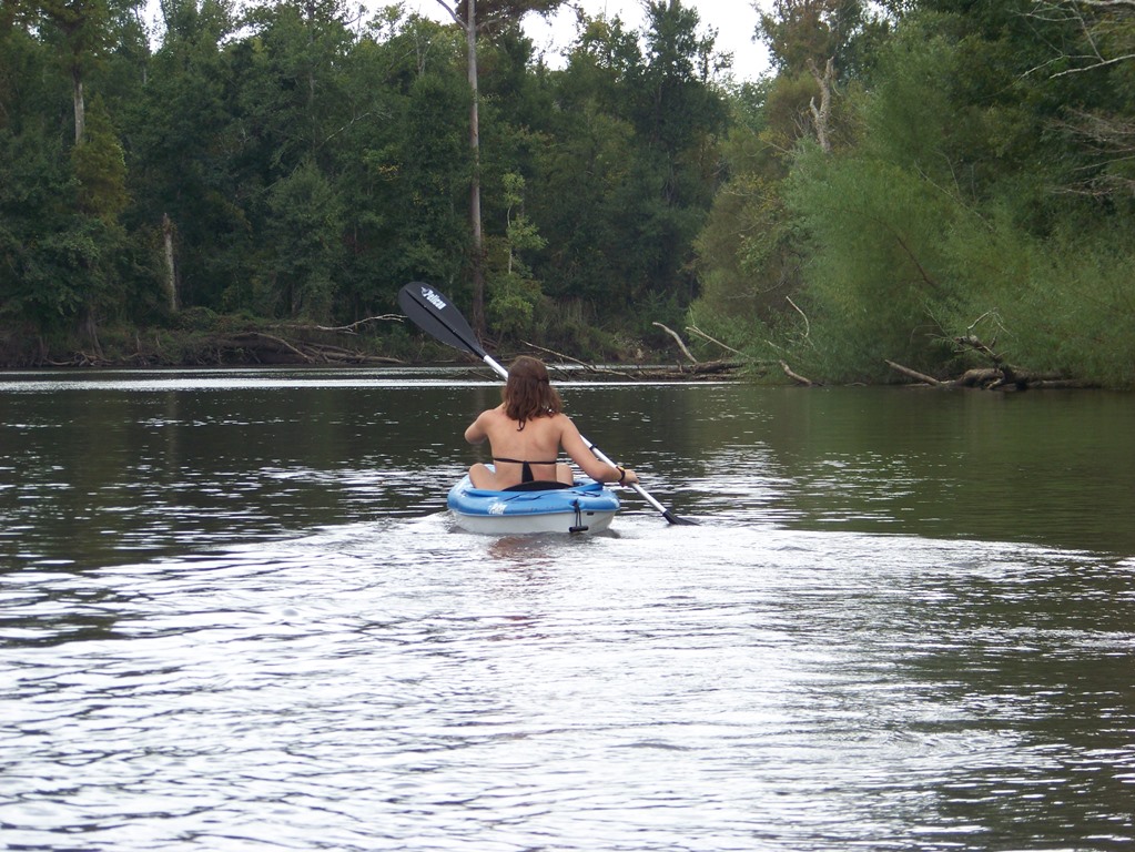
Paddling Blackwater River.
Photo: Adventures Unlimited
In 2014 the Escambia and Santa Rosa county extension offices launched a program called Naturally EscaRosa to help both locals and visitors locate both agritourism and ecotourism businesses in the two county area. The sight provides information on camping, hiking, fishing, sailing, snorkeling, biking, wildlife viewing, and farm tours (of which the popularity is growing across the country). Most of these depend on a healthy bay. Health advisories, fish kills, and loss or degradation of habitat are all problematic for the ecotourism industry. Snorkeling and finding no scallops, paddling over a lagoon and seeing no wildlife, or a slow fishing day on a charter will obviously hurt business – and remember the spin-off’s such as hotels and restaurants as well.
Estuaries have certainly benefitted this industry. From providing a nursery ground for the species we are trying to view or catch, to paddling through a peaceful salt marsh to get away from the hustle and bustle of everyday life, estuaries have been an important part of our lives. And the sunsets… don’t forget the sunsets.

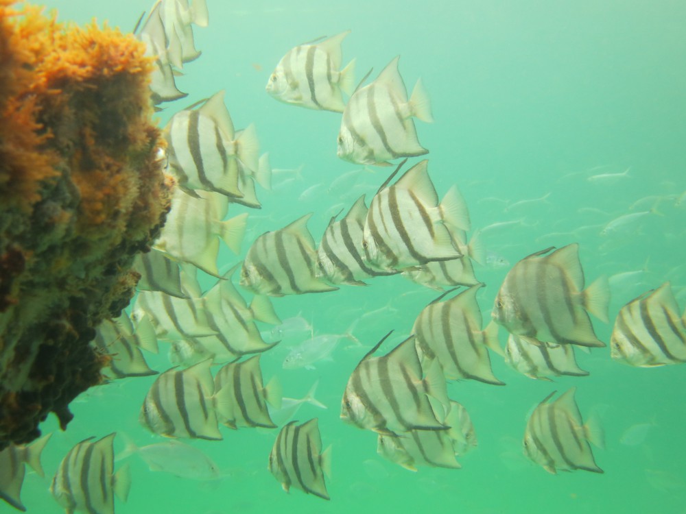
Spadefish on a panhandle snorkel reef.
Photo: Navarre Beach Snorkel
We encourage all locals and visitors to get out and enjoy the beauty of our bays. As the beach season ends the crowds are down, the weather is cooler, and it is a perfect time to venture out. For information about different activities in your area contact your local tourism board, or your county extension office.
by Rick O'Connor | Sep 19, 2015
I am not going to lie… I skipped August… It was hot…
September however was nice. The day I made the hike the skies were clear and the temperature was 75°F! wonderfully… truly wonderful.
If you are like me you probably begin your day around the same time – and have probably noticed that it is darker when you get up. September 22 is the fall equinox and the length of our day will be exactly 12 hours of daylight and 12 hours of darkness. We then enter the “dark side” of the calendar year – the days will become shorter… and already have. As we move into autumn on our beaches we will notice some changes. One, fewer visitors, but we will also notice changes in wildlife.
The steep incline of a winter time beach scarp.
Photo: Molly O’Connor
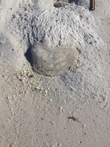
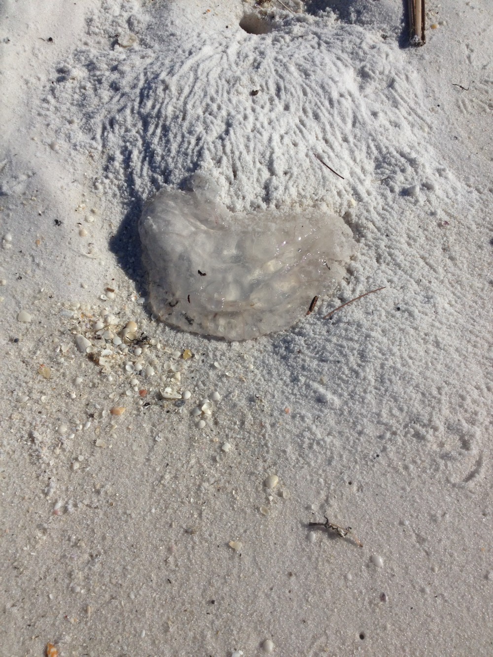
The remnants of moon jellyfish near a ghost crab hole.
Photo: Rick O’Connor
Many counties in the panhandle have lighting and barrier ordinances to protect wildlife and workers.
Photo: Rick O’Connor
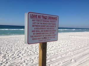
As you can see in the photograph the scarp of the shoreline is becoming more pronounced. As the sun begins to spend more time below the horizon the winds shift, the waves change, sand is moved more offshore and the shape of our beach changes as well. You may have noticed the purple safety flags have been flying a lot recently. These mean “dangerous sea life” and we have been seeing a lot of jellyfish as the summer comes to a close. Today I noticed a lot of ghost crab holes. These guys are always around but their presence seems more noticeable this time of year – possibly due to more available food. Over the last six months I have been working with CleanPeace and the Escambia County Division of Marine Resources monitoring marine debris. Our objective is to determine what the major local debris issues are and develop an education program to try and reduce these problems. Cigarette butts have been consistently the #1 item since January. Many of you probably remember the “Keep Your Butt off the Beach” campaign a few years back… apparently did not worked well. We will have to educate locals and visitors to please take their cigarette butts with them. For those in Escambia County you will now notice the new Leave No Trace signs. The Escambia County Board of County Commissioners passed a new ordinance this past month that requires all residents and visitors to remove items from the beach overnight. Not only have these negatively impacted nesting sea turtles they have become a hazard for evening work crews and the general public. Most panhandle counties have some form of “Leave No Trace”. Please help educate everyone about their ordinances.

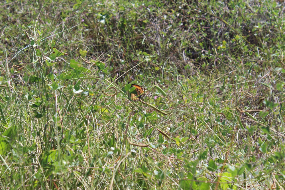
The majestic monarch butterfly stopping along the panhandle on its way to Mexico.
Photo: Molly O’Connor
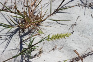
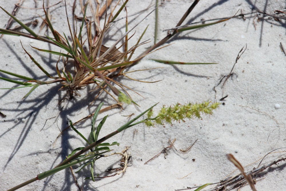
The common sandspur.
Photo: Molly O’Connor
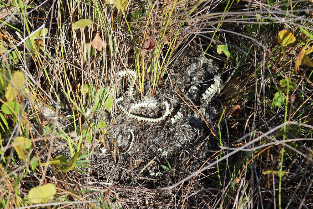
A snake skeleton found near the swale area on the island. Between the primary and secondary dune.
Photo: Molly O’Connor
Fall is the time of the monarch movement. Typically they begin to show in numbers after the equinox but we did see a few on the island this week. Be ready, next month should be full of them. The sandspurs were beginning to develop their spiny seed pods. I would caution all to check their shoes and clothing before leaving the beach this time of year to avoid carrying these seed pods home and distributing them in your yard… uncool.
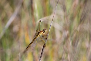
One of the many species of dragonflies that visit our islands.
Photo: Molly O’Connor
The tracks of the very common armadillo.
Photo: Molly O’Connor
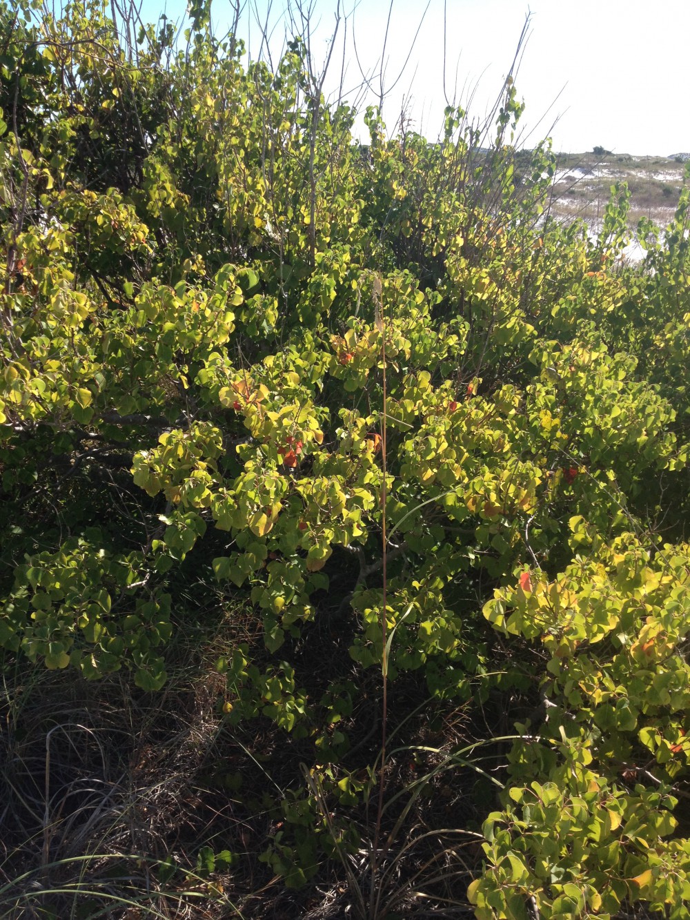
The invasive Chinese Tallow.
Photo: Rick O’Connor
We did see evidence of snake movement this week. There are several species, including the Eastern Diamondback Rattler, which will breed in the fall as well as the spring. I expect to see more activity as the days grow shorter. The dragonflies were very active this month. Actually my wife witnessed two of them consistently pestering a monarch butterfly until the butterfly moved away. I have seen armadillo activity every month of the year so far, this month was no different. The islands seem full of them. This lone Chinese Tallow has formed a small dune where other plants have established and many creatures have taken up residence. At this time there are no other Tallow in the area, and this one will need to be removed before the spread begins. But it is an interesting paradox in that there was an armadillo burrow found here and the sea oats have utilized this dune as well. Invasive species are a problem throughout the state and many have caused with economic or environmental problems – or both! Though this tree has participated in establishing a much needed dune on our hurricane beaten island – native plants do the same and should be favored over non-native. We will have to remove this tree.

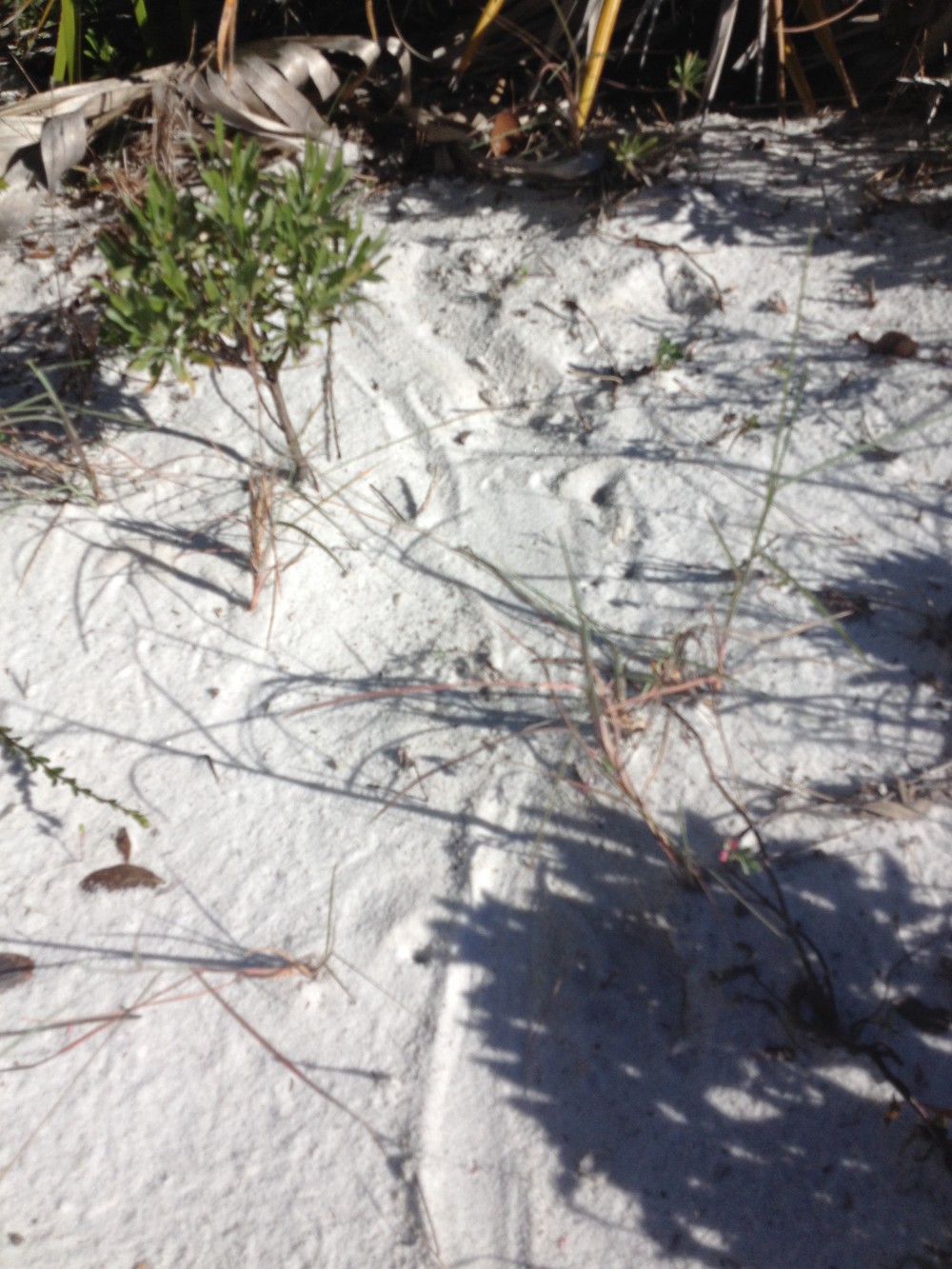
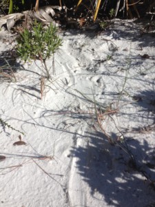
An unknown track; possibly of a turtle hatching.
Photo: Molly O’Connor
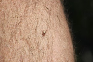
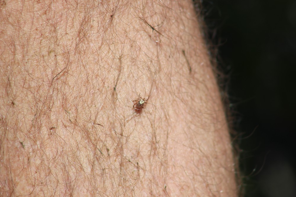
This tick was a hitchhiker on our trip through the dunes.
Photo: Molly O’Connor
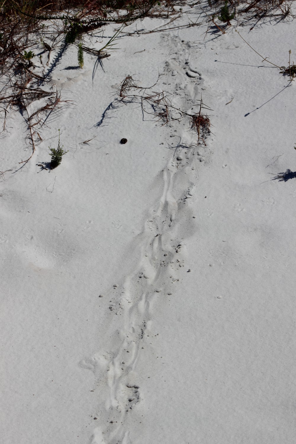
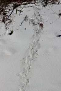
This track was found in the tertiary dune system and could be an adult turtle.
Photo: Rick O’Connor
This small track has the appearance of a “turtle crawl”. It certainly is not a sea turtle, in the middle of the dune field for one thing, but there are several freshwater ponds on our islands that harbor a variety of “riverine turtles”. I know that Cooters, Sliders, and Snappers live on Santa Rosa Island. Terrapins are found in salt marshes. Not sure if this is a turtle but all should be aware that now is hatching time. Many turtle nests began hatching about a month ago and young turtles can be found in a lot of locations. The track in this picture is from a very small animal.
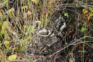
Ticks… yep ticks… It is hard to do a lot of fun outdoor activity in the southeast without encountering these guys. They like to sit on top of tall grass and wait for a mammal to come rummaging through. After each hike we always do a “tick check”. I typically wash my hiking clothes AS SOON AS I GET HOME – in case they are harboring within… I would recommend you do the same. We have been following the “mystery track” since January. This “bed” we have seen each month is in the same location. I thought I had solved the mystery in July when I found armadillo tracks all around it but this month suggest this is not an armadillo. We are not sure what it is – we are leaning towards alligator or otter (both of which can be found – and have been found – on our islands). We will continue to monitor this and hopefully find the sculptor.

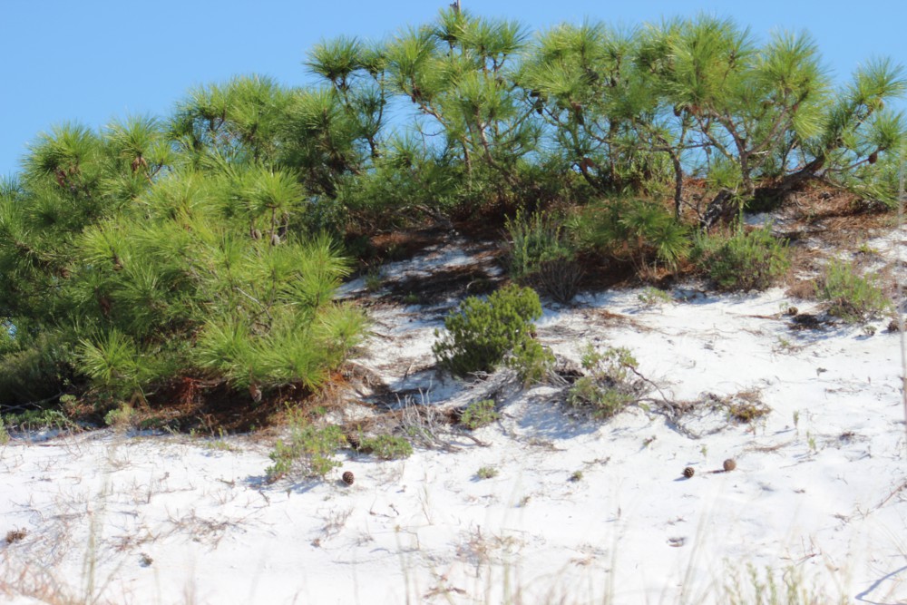
The top of a pine tree within a tertiary dune.
Photo: Molly O’Connor
The seagrass in the sound looked very thick and healthy this month. I have seen horseshoe crab here over the summer and Sea Grant conducted a scallop survey in Santa Rosa Sound and Big Lagoon within Santa Rosa and Escambia counties in August. We found no live scallop but plenty of dead ones – and some of that shell material was relatively “new”. Since scallops only live a year or two this is a good sign. There has been plenty of anecdotal evidence of live ones in the area. REMEMBER THAT IT IS ILLEGAL TO HARVEST SCALLOP WEST OF PORT ST. JOE AND ONLY FROM JUNE 27 TO SEPTEMBER 24 (Learn More). We will continue to conduct these surveys each summer to determine if our area would be a good candidate for a scallop restoration project.
As the days shorten and cool – I am expecting more wildlife activity to begin. Until next month.