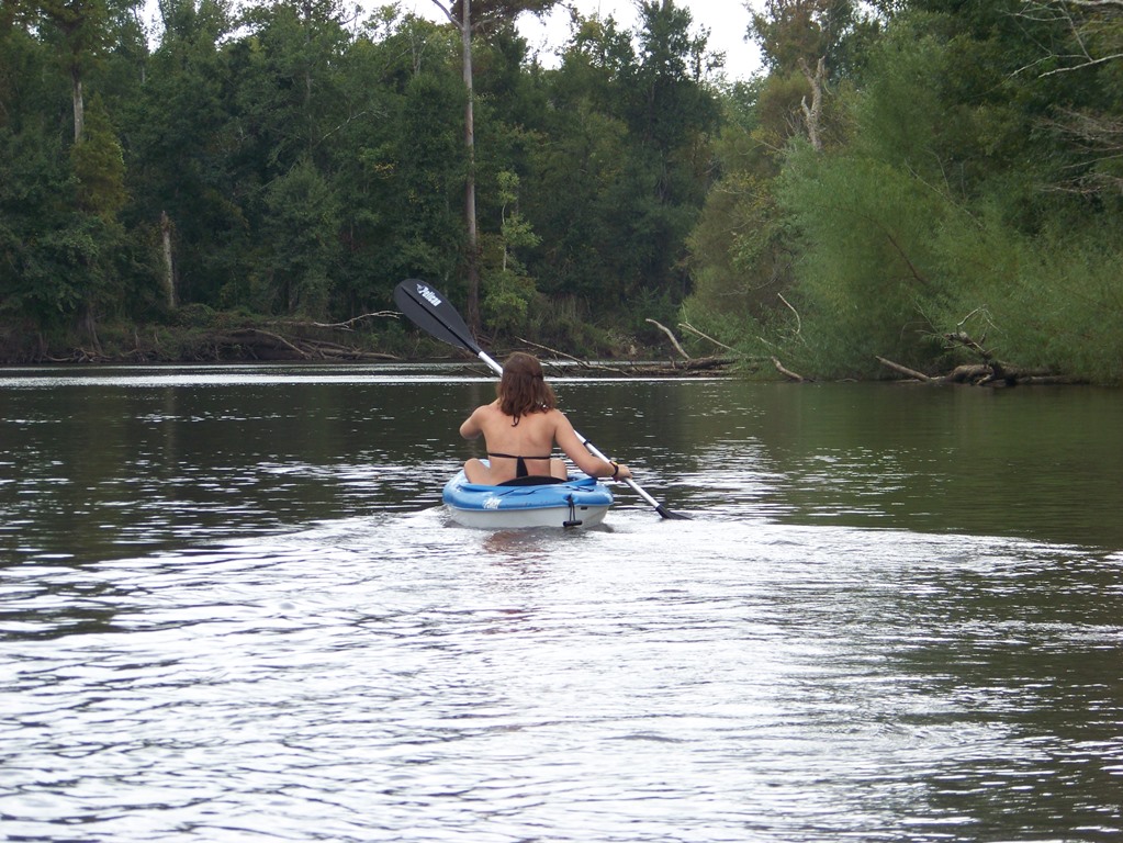
The Panhandle Outdoors LIVE team, with Extension Agents from eight counties, hosted an outdoor field day on August 26, 2015. Twenty-three participants from over eight counties in Florida attended the event and traveled to three local springs: Vortex, Ponce de Leon, and Morrison Springs. The goal of the day was to learn about spring characteristics, history, biodiversity and management issues. These popular springs in the western Panhandle are managed by three different entities – the private sector, local government and a state agency.
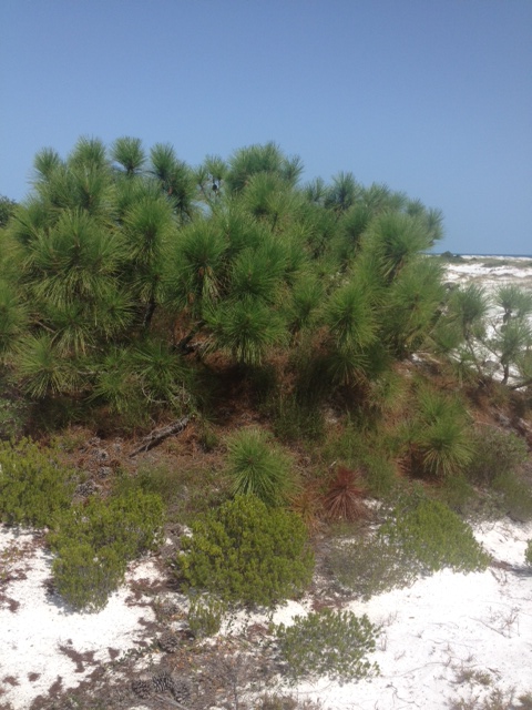
The day began at Vortex Springs. Three generations of the same family have owned and managed this popular dive resort in the Panhandle. The current owners shared the history of the spring along with a family photo album highlighting the growth and development over the years.
Vortex Springs Dive Resort
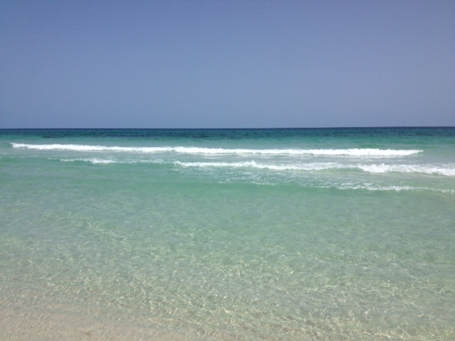
Vortex Spring produces 28 million gallons of crystal clear water daily at a year-round temperature of 68 degrees. Depths in the spring basin range from about 50 feet for a cavern dive and up to 115 feet for a cave dive. The bottom of the spring bowl is sandy, with limestone near the vent. Vortex waters flow out of the 225-foot-diameter spring pool to form Blue Creek, which flows over a half-mile before entering the Choctawhatchee River. Fish at the spring are tame, coming right up to visitors, and include bluegills, channel catfish, American freshwater eels, gar, redhorse suckers, shadow bass, and exotic species such as koi and goldfish (floridasprings.org). One of the biggest environmental challenges the owners face is controlling an invasive aquatic plant, hydrilla, which rings the basin.
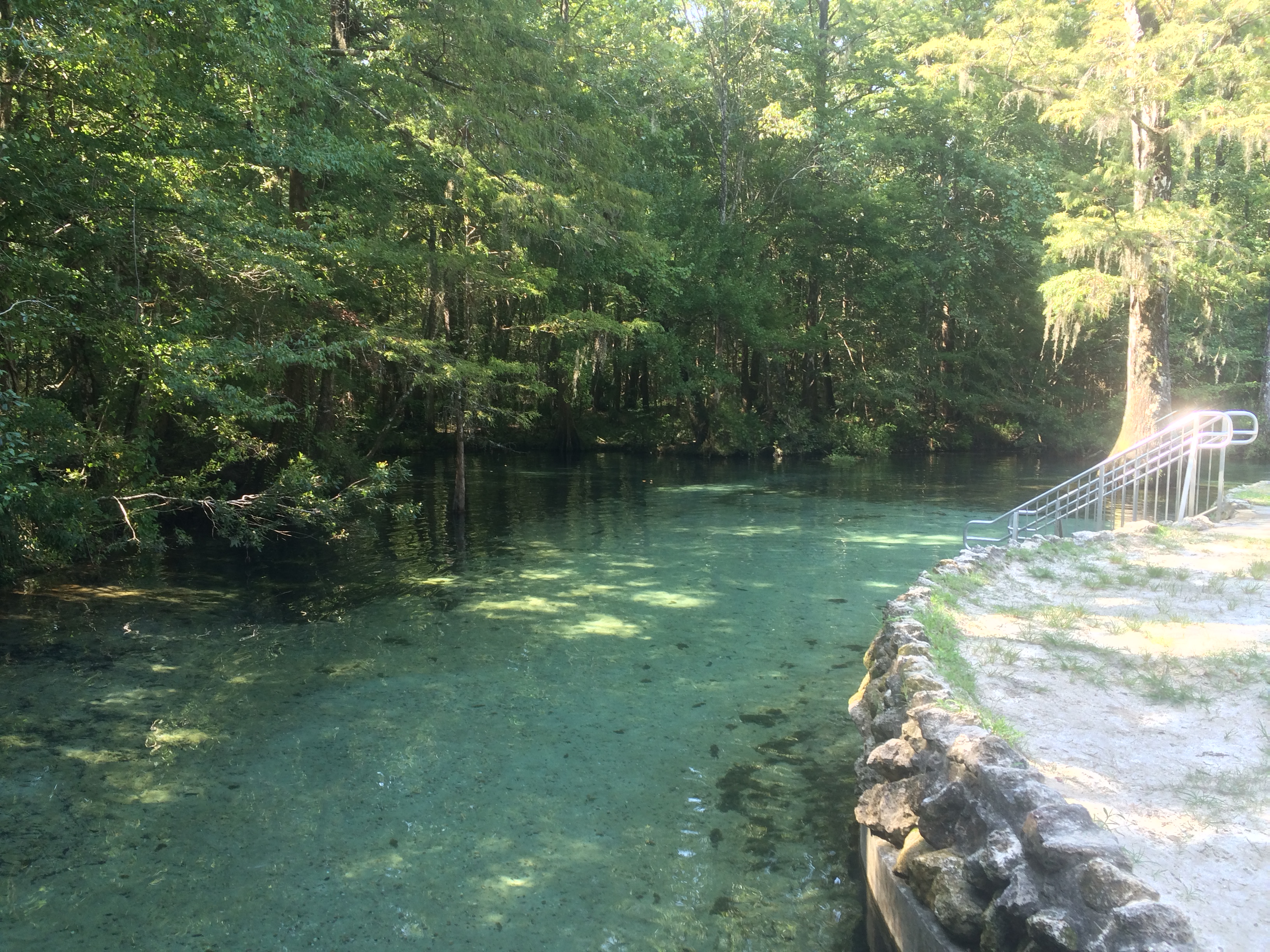
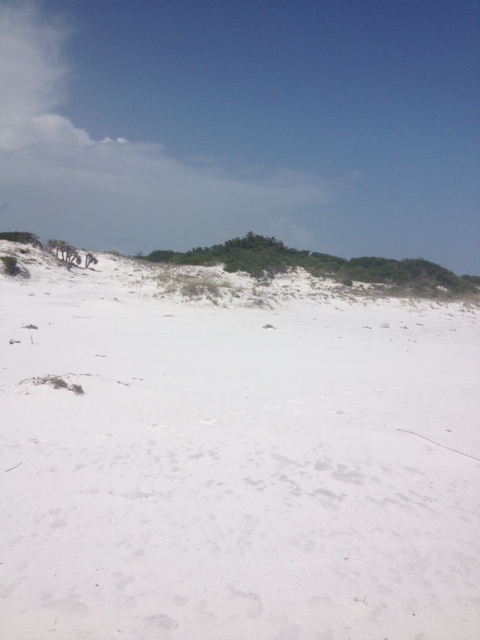
The next stop was Ponce de Leon Springs State Park where participants learned about the springs and had lectures on water quality, Florida Friendly landscapes and storm water management. Managed by a state agency, this beautiful spring is named for Juan Ponce de León, who led the first Spanish expedition to Florida in 1513 – as legend has it – in search of the “Fountain of Youth”. Visitors might well regain their youth by taking a dip in the clear waters where the temperature is a shocking 68 degrees F. year-round.
Leon County Extension Agent, William Sheftall, shares information on watershed management
The main spring produces 14 million gallons of water daily into a crescent-shaped basin with depths averaging five feet but increasing to 16 feet over the vents. The bottom is sand and limestone and gives the popular swimming area a light greenish blue appearance. The spring-run is approximately 350 feet in length and flows into Sandy Creek, a blackwater stream, which subsequently flows out of the park and into the Choctawhatchee River (floridasprings.org).
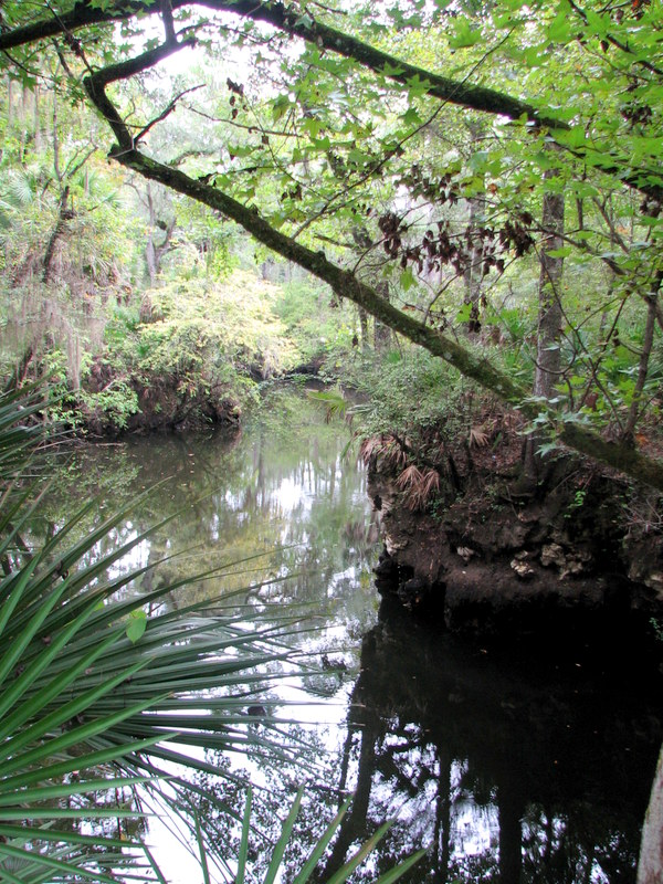
The spring run at Ponce de Leon Springs flowing into Sandy Creek
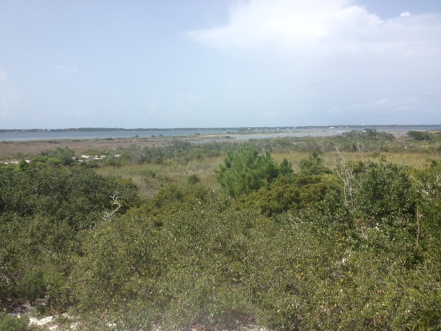
Our final destination was Morrison Springs. Morrison Springs is managed by Walton County, whose Commissioner and Habitat Conservation Plan Coordinator shared the history of the springs and the development work that has been completed. The large, sandy-bottomed spring is surrounded by a 161-acre park and is a popular spot for swimming, snorkeling, diving, birding, photography and nature walks . Morrison Spring discharges an average of 48 million gallons of crystal-clear water each day to create a 250-foot-diameter spring pool and a spring run that flows into the Choctawhatchee River (floridasprings.org). The springs are home to a healthy fish population with largemouth bass, bluegill, carp, white mullet, and pickerel all being seen that day.
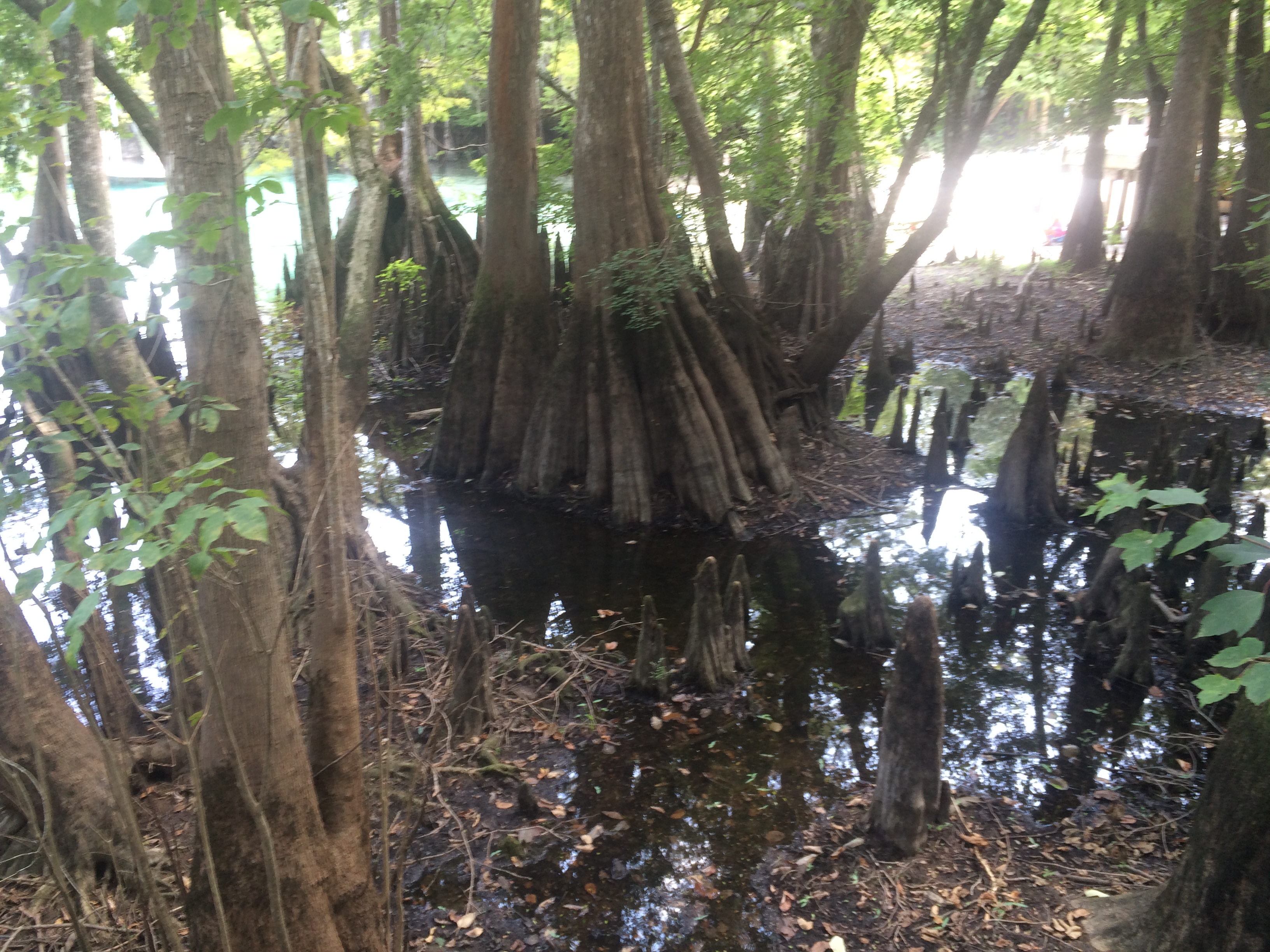
Beautiful cypress trees and knees ring Morrison Springs
Field day participants (86%) reported an increase in knowledge of the springs after the event with 59% indicating that they would change their behavior based on the information presented. Behavior changes mentioned were cleaning up trash, controlling personal fertilizer applications, making sure their lawn care company was certified, controlling erosion, conserving water and planting native plants. All of the participants (100%) reported being interested in attending future Panhandle Outdoor Live events. That is just the kind of encouragement the team needed, so be sure to watch our website for future event announcements.
Hernando de Soto and his party crossed the Aucilla River sometime in October of 1539 and celebrated Christmas in what is now Tallahassee. Many things in Florida have changed since de Soto passed this way, but when the 2015 Panhandle Outdoors LIVE! tour hiked the Aucilla Sinks portion of the Florida Trail this September, many things had not.
Panhandle residents explore the area of Aucilla Sinks with local guide David Ward. Photo: Jed Dillard
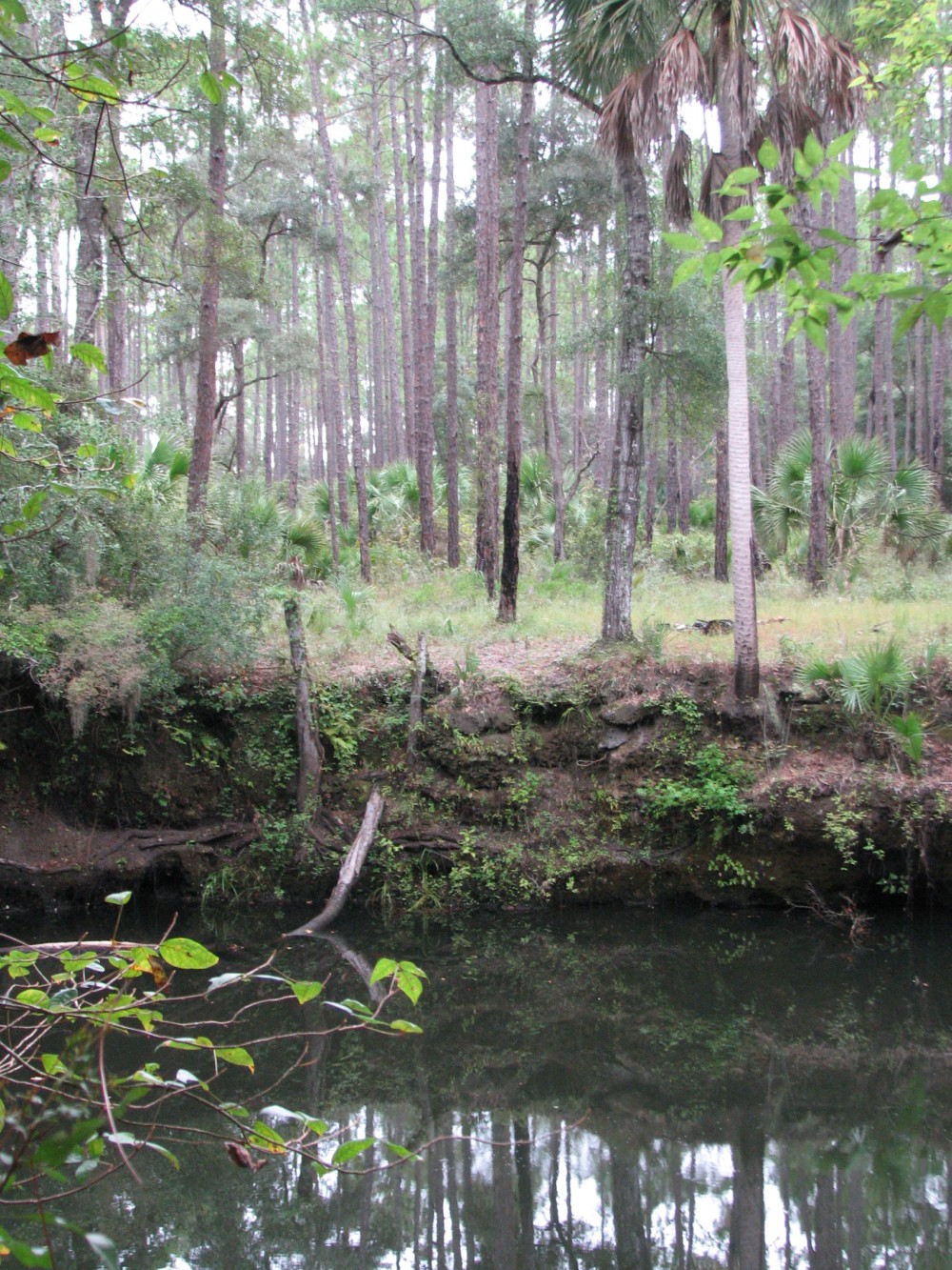
Yes, the trail is maintained and marked by the Apalachee chapter of the Florida Trail Associations and there are bridges in spots, but the blood sucking bugs that bedeviled deSoto haven’t dissipated. More importantly, the spectacular and distinctive area provides a relatively easy hike that reveals the connections between geology and hydrology in an area with little disturbance by the settlers who followed the first Europeans into North Florida.
Hikers got up close and personal views of the Karst topography found in North Florida. This topography occurs as the tannic rivers and runoff dissolve the underlying limestone on their way to the aquifer. These connections and voids in the bedrock allow the Aucilla River to “come and go” above and below ground as it moves to the Gulf of Mexico as do all rivers in the Suwannee River Water Management District other than the Suwannee.
Native Jefferson county guide, David Ward pointed out the contrast between tannic water in the river channel and the clear water in caves near the river. “In those caves the water is crystal clear. You are looking at the water of the aquifer itself.”
Leon County agent Will Sheftall seized the opportunity to drive home how vulnerable Floridians are to ground water pollution and its effects on our water supply. “Here there’s little distance between the surface and the ground water. In these sandy soils, water moves quickly from the surface to the aquifer. Whatever is in that water can easily get into our ground water. Our personal activities and our public policies need to reflect that to ensure the future of Florida’s water quality.”
As we reached a slightly elevated area, Ward pointed out a longleaf pine/wiregrass community restored by reinstituting controlled burning. The open vegetation contrasts with the non-fire resistant species such as parsley hawthorn in wetter areas usually untouched by fire. “These pine savannahs were widespread when the Europeans arrived,” Ward noted. “Over my lifetime in these woods, I’ve seen appropriate management bring back these conditions closer to what we know it was like when the Europeans arrived.”
One of the many locations where the Aucilla River “rises from the limestone caverns beneath the earth. Photo: Jed Dillard
Information on this section of the Florida Trail is available from the Apalachee Chapter of the Florida Trail Association, the Suwannee River Water Management District and Florida Fish and Wildlife Conservation Commission. Humidity never went below 80 percent during our late morning, early afternoon trip. November will likely provide less buggy and surely less muggy conditions. If you’d like to learn about this area from the comfort of your recliner or need some extra encouragement to strike out on the walk, check out this program previously broadcast by WFSU TV. http://wfsu.org/dimensions/viewvideo.php?num=184Either way, you’ll know more about Florida’s spectacular natural world.
AUTHOR: Jed Dillard; Livestock and Forges Extension Agent; Jefferson County
A couple of years a few agencies in south Alabama put together something they called the Alabama Birding Trail. It was a relatively simple idea really – they developed a brochure that marked different locations where visitors could enjoy birding in the two county area. They had large signs posted at those locations so that the visitor knew they were at the correct location. There seemed to be a need for this with some vacationers and they provided… It was a big success. More and more visitors were using the trail. It became so popular they that conducted a survey and found that about 40% of the visitors who come to our Gulf coast are looking for outdoor/wildlife adventures to do. Ecotourism is becoming more and more popular.
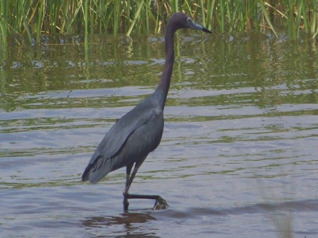
A heron exploring a local salt marsh for food. Photo: Molly O’Connor
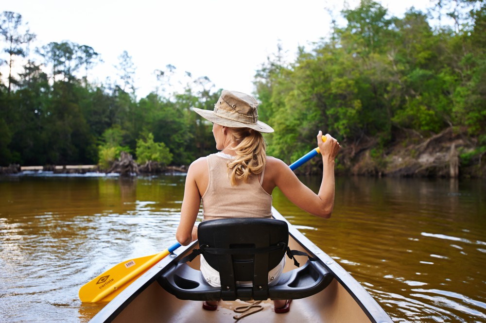
The panhandle is no different. Each year hundreds of thousands to millions of visitors come to our beaches. There is no doubt that we have some of the most beautiful beaches in the world, and they are a huge draw, but we have a lot of outdoor adventures to provide them as well. From scalloping in St. Joe, to snorkeling the jetties in Panama City, to fishing in Destin, to paddling in Navarre, to dolphin cruises in Pensacola the panhandle provides a wide variety of activities for both the local residents and visitors to enjoy – and employment for many.
So what does this have to do with estuaries?
Well, for most of these businesses a healthy wildlife population is needed. A dolphin cruise with no dolphin is not much. Visitors coming to stay on our beaches will certainly enjoy the white sand and emerald waters. They will return home with pictures and stories of how beautiful it was and how they hope to return – but if they saw a sea turtle that week, or went snorkeling and found thousands of tropical fish to view, or kayaked over a lagoon and found horseshoe crabs or stingrays… the stories get better and their urge to return grows. Wildlife and healthy estuaries are good for business – for everyone.
In 2014 the Escambia and Santa Rosa county extension offices launched a program called Naturally EscaRosato help both locals and visitors locate both agritourism and ecotourism businesses in the two county area. The sight provides information on camping, hiking, fishing, sailing, snorkeling, biking, wildlife viewing, and farm tours (of which the popularity is growing across the country). Most of these depend on a healthy bay. Health advisories, fish kills, and loss or degradation of habitat are all problematic for the ecotourism industry. Snorkeling and finding no scallops, paddling over a lagoon and seeing no wildlife, or a slow fishing day on a charter will obviously hurt business – and remember the spin-off’s such as hotels and restaurants as well.
Estuaries have certainly benefitted this industry. From providing a nursery ground for the species we are trying to view or catch, to paddling through a peaceful salt marsh to get away from the hustle and bustle of everyday life, estuaries have been an important part of our lives. And the sunsets… don’t forget the sunsets.
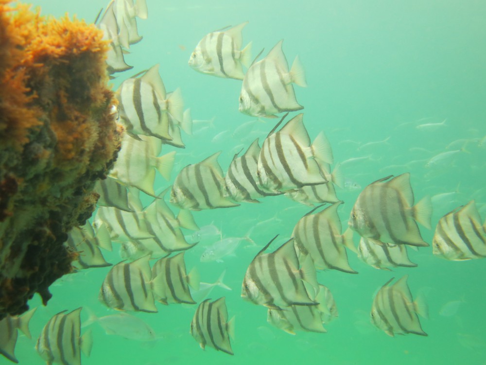
Spadefish on a panhandle snorkel reef. Photo: Navarre Beach Snorkel
We encourage all locals and visitors to get out and enjoy the beauty of our bays. As the beach season ends the crowds are down, the weather is cooler, and it is a perfect time to venture out. For information about different activities in your area contact your local tourism board, or your county extension office.
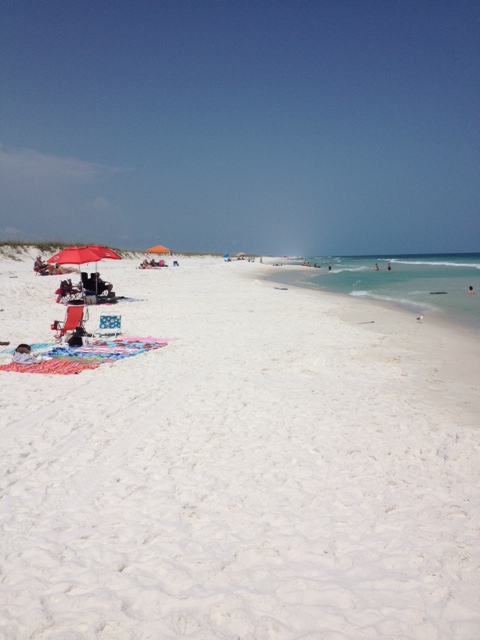
The air temperatures are in the high ‘90’s and the heat indices are reaching over 100°F; heck the inland water temperatures are in the high ‘80’s – it’s just hot out there! But our barrier island wildlife friends are doing okay, they have had to deal with this many times before. Deep burrows and nocturnal movement lead the list of behavior adaptations to cope but some still scurry around during daylight hours.
People visiting the Gulf coast during the summer.
I typically begin my monthly hikes along the Gulf shore to see what is out and about; this month there were humans… and lots of them. This is the time of year that vacationers visit our islands. Traffic is bad, nowhere to park, long lines, etc. But it is part of living on the Gulf coast. We are glad to have visitors to our part of the state. We do ask that each evening they take their chairs, tents, and trash with them. Have fun.
This plant, Redroot, grows in the wetter areas of the secondary dune.
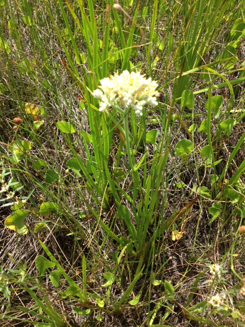
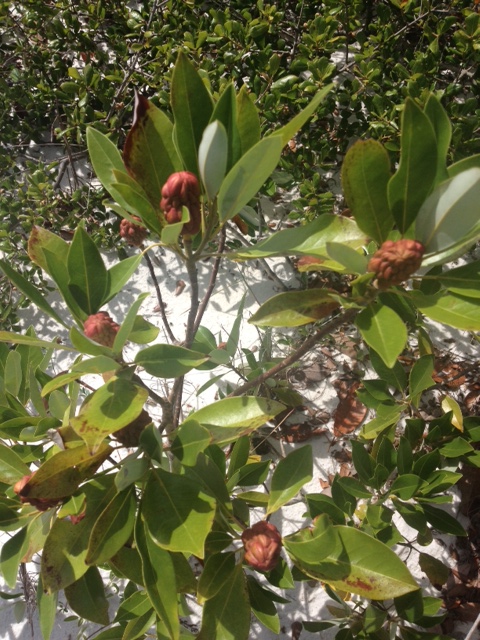
Seaside Rosemary
During these hot days of summer this flower was blooming all throughout the freshwater bogs of the secondary dunes. The plant is called REDROOT and it is really pretty. I did not see any insects near it but it was in the warm part of the day that I made my hike this month. The round shaped SEASIDE ROSEMARY is one of my favorite plants on the island. The odor it gives off reminds me of camping out there when I was a kid and of the natural beach in general. I have been told that Native Americans did use it when cooking, but can’t verify that. This is a neat plant either way. I believe there are male and female plants in this species and they have a low tolerance of fire and vehicle traffic.
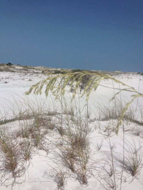
The new, young seeds of the common sea oat.
Though it appears small, this is the same species of pine that grows tall inland.
The most famous plant on our barrier islands is the SEA OAT. However most think of them in the primary dune fields only. They actually grow all across the island as long as their seeds fall in a place where the wind is good, usually at the tops of dunes. As many know the roots and rhizomes of this plant are important in stabilizing the dunes, hence the reason why in most states it is illegal to remove any part of the plant. This PINE is the same type found growing 40 feet up in your yard but here on the beach salt spray and wind stunt their growth. Also the moving sand covers much of the trunk, making the tree appear much smaller than it really is. Pines are quite common on the island.
The tall trees are covered by quartz sand forming the tertiary dune system.
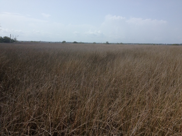
The expanse of marshes that make up Big Sabine on Santa Rosa Island.
The large trees of the barrier island system are typically found in the TERTIARY DUNE field. Here we see pine, oak, and magnolia all growing forming dunes that can reach 50 feet high in some places. Behind large tertiary dunes are the marshes of BIG SABINE. These marsh systems are some of the most biologically productive systems on the planet. 95% of our commercially valuable seafood species spend most, if not all, of their lives here. We will focus on this ecosystem in another edition of this series Discovering the Panhandle.
The red cones of the Sweet bay identify this as a relative of the magnolia.
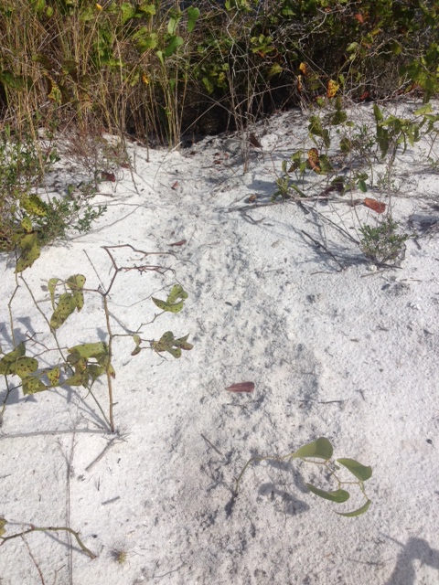
The “mystery tracks” we have been seeing since January now show the small tracks of a mammal; probably armadillo.
This SWEET BAY is a member of the magnolia family and the small red cones show why. I had not seen the cones until now, so guess they like the heat and rain. WE HAVE SOLVED THE MYSTERY TRACK… knew we would. If you have read the other additions in this series you may recall we have found a track that appeared to be a “slide” coming out of the marsh and into a man-made pond from the old hatchery. Never could determine what was causing this but saw it each month of the year. However this month you could see the individual tracks of a mammal; I am guessing armadillo but could be opossum or raccoon as well. Cool… got that one behind us. On to other discoveries.
Acres and acres of Black Needlerush indicate this is a salt marsh.
Bulrush and other plants indicate that this is not salt water, but a freshwater marsh.
Marshes differ from swamps in that they are predominantly grasses, not trees. Salt marshes, as you would expect, have salt water. Fresh water the opposite… yep. The photo on the left is the salt marsh. The grass species are different and help determine if the water is fresh or brackish. Next year we will do a whole series in this ecosystem – it is pretty cool.
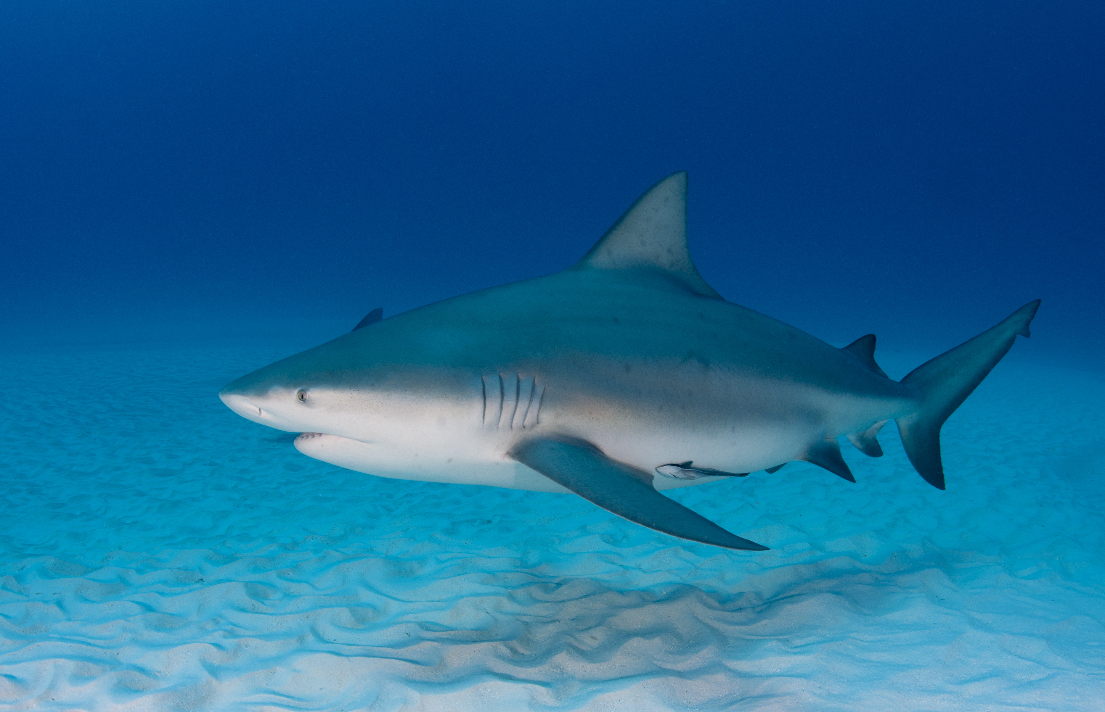
Pregnant Bull Shark (Carcharhinus leucas) cruses the sandy seafloor. Credit Florida Sea Grant Stock Photo
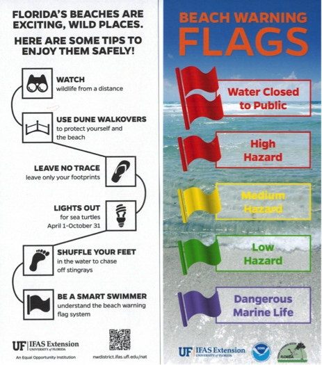
Shark Safety Tips
UF/IFAS Extension – Florida Sea Grant
By L. Scott Jackson (Bay County) and Rick O’Connor (Escambia County)
Recently, two teens were victims of unusual shark attacks in North Carolina. The two attacks occurred within minutes and miles of each other. A similar incident happened in the Florida Panhandle in 2005. One teen lost her life and one lost his leg. The attacks were within days of each other and the distance between the two attacks was less than 100 miles. Experts identified Bull Sharks as being responsible for both Panhandle shark encounters.
Bull Sharks migrate north as ocean waters of the Gulf and Atlantic warm. As the nearshore environment cools in the late fall and winter, Bull Sharks follow the receding warm water and eventually move out of the local area. Bull Sharks are an aggressive shark responsible for a reported 100 attacks on humans resulting in 21 fatalities. (Reported from 1580 to 2014 Source: International Shark Attack Files).
Experts suggest Bull Sharks may be responsible for many shark attacks where the species is unknown or not identified.
Overall, the number of shark encounters is slowly trending higher as more people swim and participate in other water related activities. However, negativeencounters with sharks remain a rare occurrence. In 2014, Florida reported 28 shark bites with no fatalities. On average, only one shark attack fatality is reported every other year in the United States. The risk of shark attack is very low compared to other potential recreational hazards. For example, in 2014, 26 people died as a result of lightning strikes in the United States, with six of those being in Florida.
George Burgess with the International Shark Attack File has compiled a list of action strategies you can use to reduce the chances of a negative encounter with a shark:
Keep these tips in mind the next time you hit the beach!
Avoid being in the water from sunset to sunrise. This is when sharks are most active and have a competitive sensory advantage.
Stay in a group, and do not wander too far from shore. Isolated individuals are more likely to be attacked than large groups; in addition, the farther you are from shore, the farther you are from help.
Consider your clothing: avoid wearing shiny jewelry, because the reflected light resembles the sheen of fish scales.
Avoid brightly colored or patterned clothing, because sharks see contrast particularly well.
Do not enter waters being used by sport or commercial fisherman – sharks can sense the smells emitted from bait at incredible distances.
Avoid entering waters with sewage output and/or entering the water if you are bleeding. Such additions to the water can act as strong olfactory attractants to sharks.
Know your facts! Porpoise sightings do not indicate the absence of sharks. In fact, the opposite is often true. Also be on the lookout for signs of baitfish or feeding activity – diving seabirds are good indicators of such action. Animals that eat the same food items are often found in close proximity. Remember, a predator is never too far from its prey.
Refrain from excess splashing while in the water, and do not allow pets in the water because of their erratic movements.
Exercise caution when occupying the area between sandbars or near steep drop-offs, as these are favorite hangouts for sharks.
Do not enter the water if sharks are known to be present, and evacuate the water if sharks are seen while there. And, of course, do not harass a shark if you see one!
Stay calm if you do see a shark, and maintain your position in as quiet a manner as possible. Most sharks merely are curious and will leave on their own.
Our beautiful Emerald Coast is an alluring wild habitat. Simply put – Swimming at the beach is not the same as swimming in a backyard pool. Have fun at the beach but be mindful and respectful of potential hazards. Knowing what to do to be safe will actually help you enjoy time at the beach while keeping worry and concern at a minimum.
Follow these beach safety tips for helping your family enjoy the beach while protecting coastal wildlife.
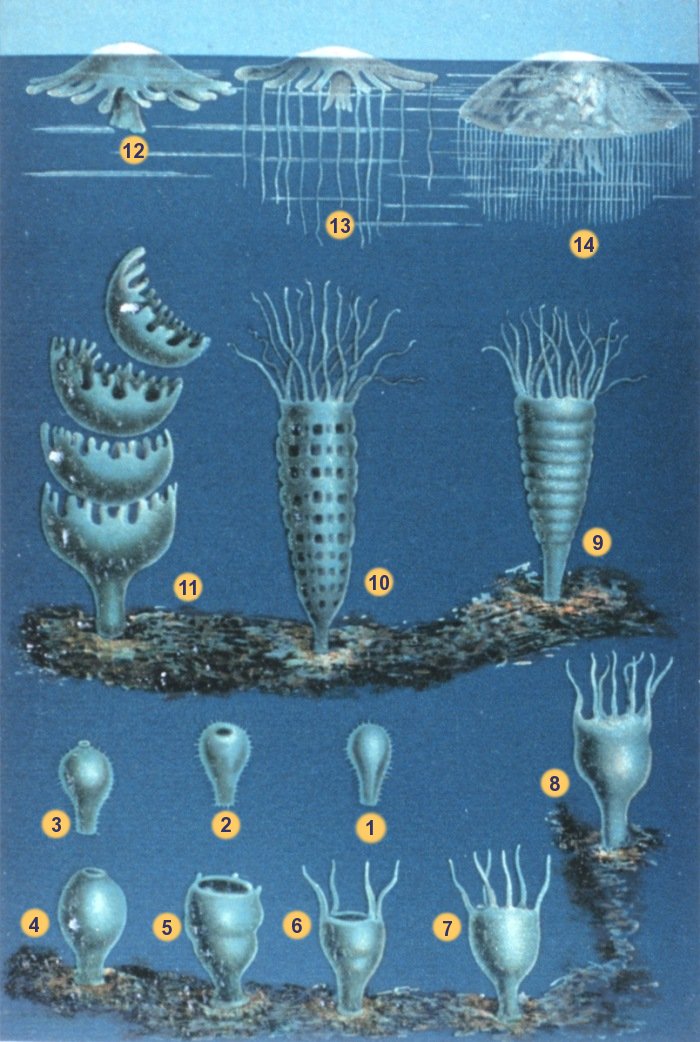
Life Stages of the True Jellyfish: Photo: By Matthias Jacob Schleiden (1804-1881) [Public domain], via Wikimedia Commons
“Ouch, something just stung me.” This is a common phrase to hear someone say (I’ve heard myself say it) while enjoying the otherwise soothing waters along our beautiful Gulf Coast. We host an amazing variety of marine organisms that possess the ability to sting when contacted. I’m referring to organisms in the phylum Cnidaria (pronounced “ni-dair-ee-ah”), which includes about 10,000 species that have been identified. There is general agreement on the classification of five different classes of cnidarians, all of which have stinging cells, but most of which are not dangerous to humans. These include Class Anthozoa (anemones and corals), Class Cubozoa (box jellyfish), Class Scyphozoa (true jellyfish), Class Staurozoa (stalked jellyfish) and Class Hydrozoa (hydroids i.e. Portuguese man o’ war). I’m always intrigued by the origin of scientific names so here is a slight tangent for you on the group names (Cnides: from the greek meaning nettle)(Antho: flower-like; Cubo: cube-shaped; Scypho: cup-shaped; Hydros: sea serpent; Stauro: cross-shaped). The term “zoa,” of course, refers to animals.
Most of the time you are stung in our local waters it involves the classes Hydrozoa or Scyphozoa. The Hydrozoans are a complex group of organisms but most species go through two distinct stages during their life cycle. The hydroid stage takes the form of a polyp which is composed of a stalk and tentacles at the end. Polyps can be single but are often colonial, connected by tube-like structures. Most polyps are specialized for feeding but others are used to reproduce. Reproductive polyps lack tentacles but have many buds which form the medusa stage of the organism for reproduction purposes. Medusae of the hydroids are similar in design but typically smaller than the medusae of the true jellyfish. Some hydroids also have specialized defensive polyps with numerous stinging cells and one species even has a specialized polyp that develops into a large balloon-like float that the others attach to (the man o’ war). There is one specific type of hydroid in our area that closely resembles a piece of branching brown algae, such as Sargassum. The polyps are scattered along the branches and when brushed against they fire their nematocysts (stinging cells) producing a painful sting. The burning sensation can last for several minutes and you would have sworn the only thing around you was a harmless piece of drift algae.
The true jellyfish, of Class Scyphozoa, also go through a polyp and medusa stage. The polyps of this class are typically single and settle to the bottom as larvae and attach themselves. Over time the polyps mature and produce other polyps by budding, or bud medusae off their upper surface. These jellyfish medusae are microscopic at this stage and many take years to reach maturity, complete with a cup-shaped (scypho= cup shaped) bell and tentacles hanging beneath.
The subsequent lives of these translucent marine creatures is no less intriguing than the processes involved in their development. Check out this website from the Smithsonian for more great information. The next time you feel the burn of a host of nematocysts injecting you with their potent venom, I dare you to stop for just a second to be amazed by the fascinating creature that you have just met. If you can pull this off you are well on your way to becoming the quintessential nature nut! Click here for helpful information if you are stung.