by Rick O'Connor | Jan 23, 2016
All photos: Molly O’Connor
More and more visitors to the Gulf coast are seeking nature encounters when on vacation. Of course there are still the amusement park fans but there is an increasing number interested in visiting “The Real Florida” that our state park system promotes. Actually, I have found that many lifelong residents of the Florida panhandle have not visited many of the scenic natural areas of our state.

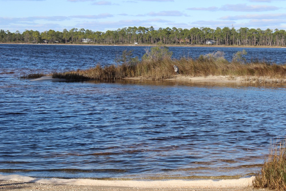
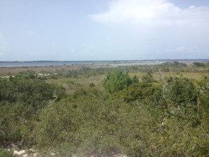
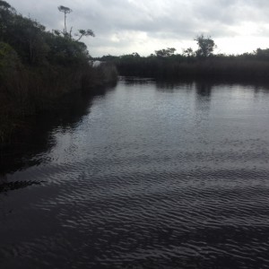
Looking from the kayak launch at Johnson’s Beach you can see across the ICW to Big Lagoon State Park. This body of water has seagrass and salt marshes along 12 miles of natural shoreline ending at an old fortification that can only be accessed by boat. There is plenty of snorkeling, birding, and fishing to do along the way.
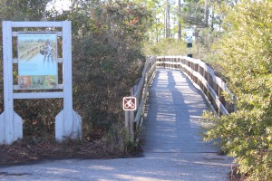
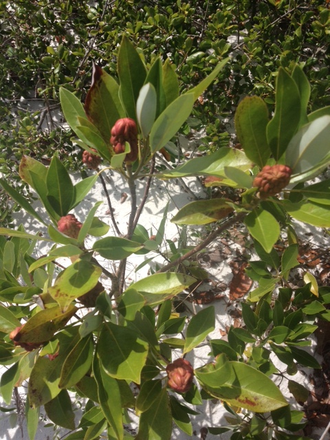
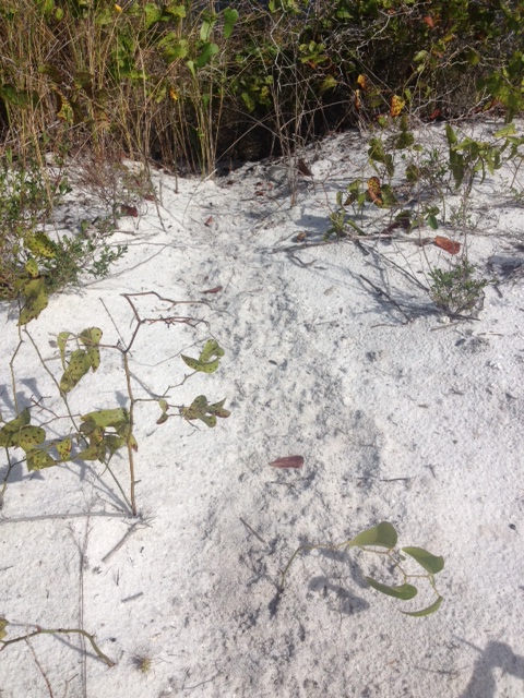
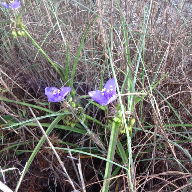
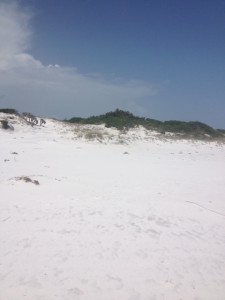
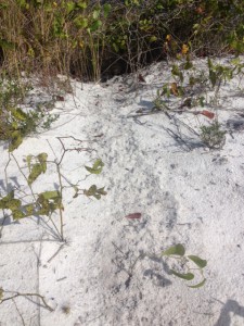
At the kayak launch at Johnson’s Beach is a short trail through the dunes of Perdido Key. You will be able to view a variety of plants and birds, or maybe, as I did, find a large coachwhip basking on a dune.
There is no doubt that to conserve something you need to love it… and to love it you need to experience it. We think if you visit some of our natural areas you will fall in love with the area and hopefully we can conserve much of it. Nature-based tourism is a way to support the local economy but we need natural areas for this to happen… fishing is not much fun without fish.
So we are going to begin a series of posts highlighting some of the nature-based tourism locations that visitors and locals can enjoy throughout the panhandle – from dunes of the coast to the forest of “north-end”. To begin the series, we will follow the Intracoastal Waterway from the Alabama state line to the Aucilla River (basically the Florida Panhandle). We begin at the western tip… Perdido Key. But first let’s talk about the Intracoastal Waterway itself.

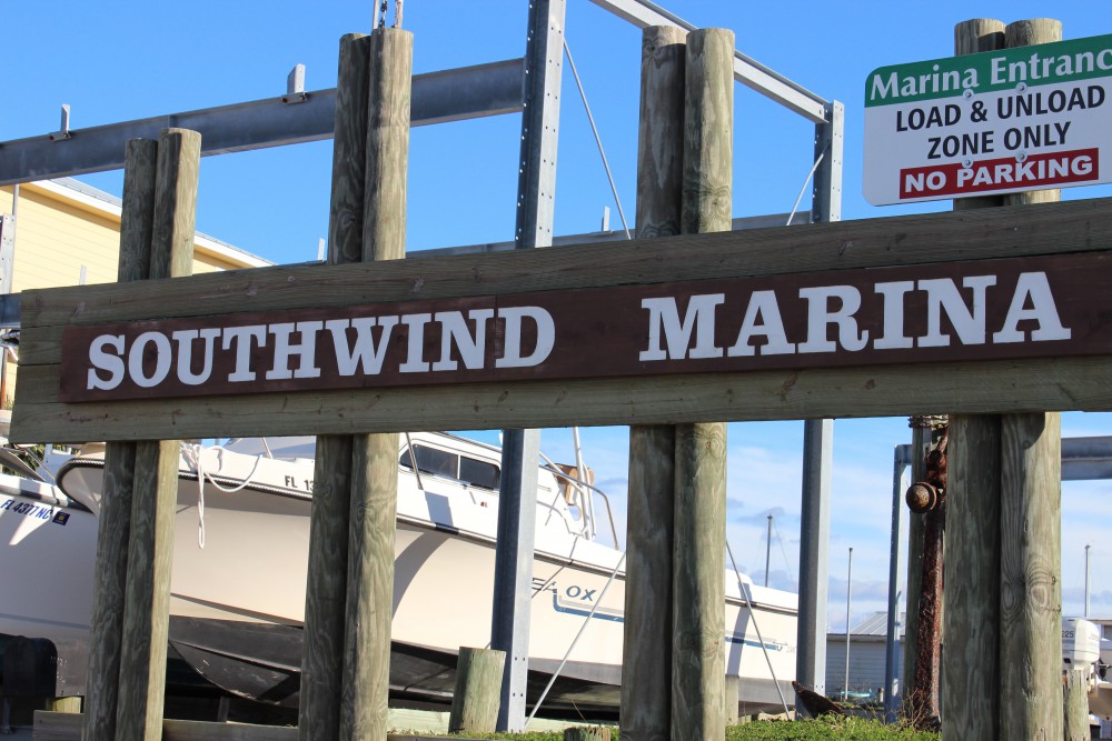
Southwind Marina is found on the northside of the ICW across from Perdido Key. For the visitor who is interested in fishing or diving the vessels can reach the Gulf in just a few minutes. Some dive charters will take you to spear lionfish.
INTRACOASTAL WATERWAY
The concept of the Intracoastal Waterway (ICW) dates back to the 19th century but construction on the northern Gulf section began in 1925. The ICW begins in Brownsville TX along the U.S. coastline to Carrabelle, FL. From here you follow a series of markers across the open Gulf to Anclote Key (near Tampa) where again the inland ICW heads to Ft. Myers. There is a canal that cuts across to Lake Okeechobee, and the east coast of Florida, but many boaters take the Florida Keys route. If crossing the state through the lake you will arrive at Jupiter Inlet on the east coast the ICW which travels north from here to Virginia – a total of about 3000 miles. The waterway was developed to make commercial shipping safer. Plans to cut a canal across north Florida from the Crystal River to the St. Augustine area never happened. The ICW consists of manmade canals, protected lagoons and sounds, and open sections of local bays.
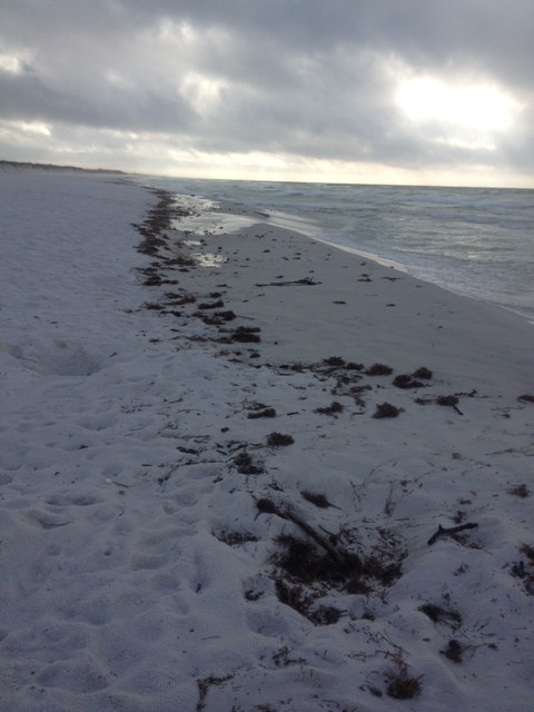
In the Florida panhandle the ICW begins at the state line in Perdido Bay. It follows a narrow section of water north of what the locals call “Old River” between Ono Island AL and Innerarity Point FL. It eventually enters Big Lagoon in Escambia County before crossing the lower portion of Pensacola Bay. It is this portion of the ICW we will focus on in this article.
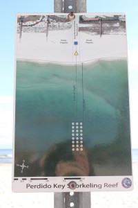
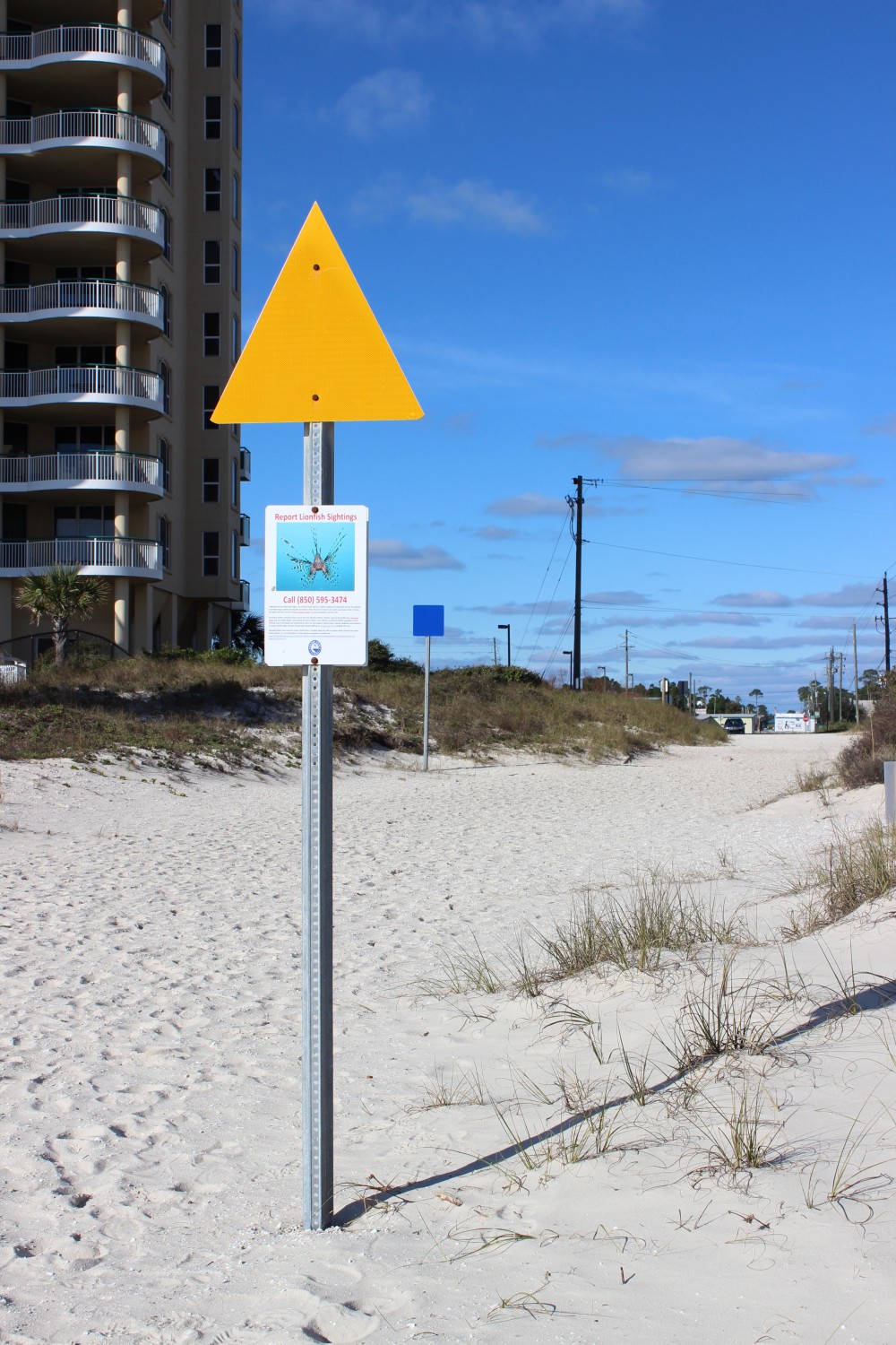
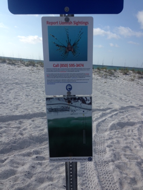
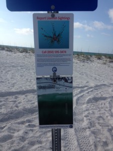
Escambia County Division of Marine Resources has provided three inshore snorkel reefs for the visitor who would like to experience a reef diving but is not a certified diver. The reefs can be found by aligning the blue square and yellow triangle on the beach. This one is on Perdido Key near Johnson’s Beach.

The yellow triangle used to locate the reef while you are swimming. These nearshore reefs have a variety of small reef fish and occasionally, in the warmer months, a sea turtle may visit.
PERDIDO KEY
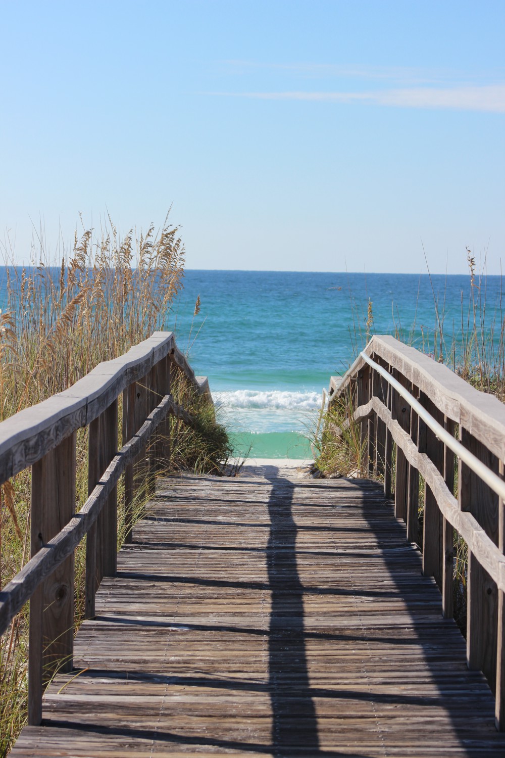
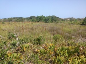
Perdido Key is a 15-mile-long barrier island stretching from the mouth of Perdido Bay to “Ft. McRae” near NAS Pensacola in the Gulf Islands National Seashore. The western end is actually in Alabama. The state line is near Ono Island and the famous Flora-Bama Bar. North of the Key is “Old River”, then Ono Island AL, then the ICW itself, and eventually Innerarity Point FL. For the nature tourist you have miles of white sandy beaches to the south which are great for shell collecting, birding, and fishing. In the summer the beach comber can find ghost crabs, flowers, and maybe a nesting sea turtle. The “river” side of the island has numerous small islets and seagrass beds that offer good birding, snorkeling, and fishing. Be aware though to stay out of the ICW here. It is very narrow and the passing barges are very large. Dive flags are required of snorkelers in Florida. There is a public kayak launch on the north side along “Old River”. Perdido Key is home to the endangered Perdido Key Beach Mouse. Many locals have lived on the island all of their lives and have not seen one… maybe you will be lucky!
As Perdido Key Drive heads north off of the Key you will find a small side road leading to Johnson’s Beach and a section of the Gulf Islands National Seashore. Just as you turn onto Johnson’s Beach Road you will find Sandy Key Road to the south. There is a public access point here and a public nearshore snorkel reef provided by Escambia County. These Gulf side reefs attract a variety of small reef fish, including many tropicals, as well as larger species such as sheepshead and snapper. Be sure to have your dive flag with you.

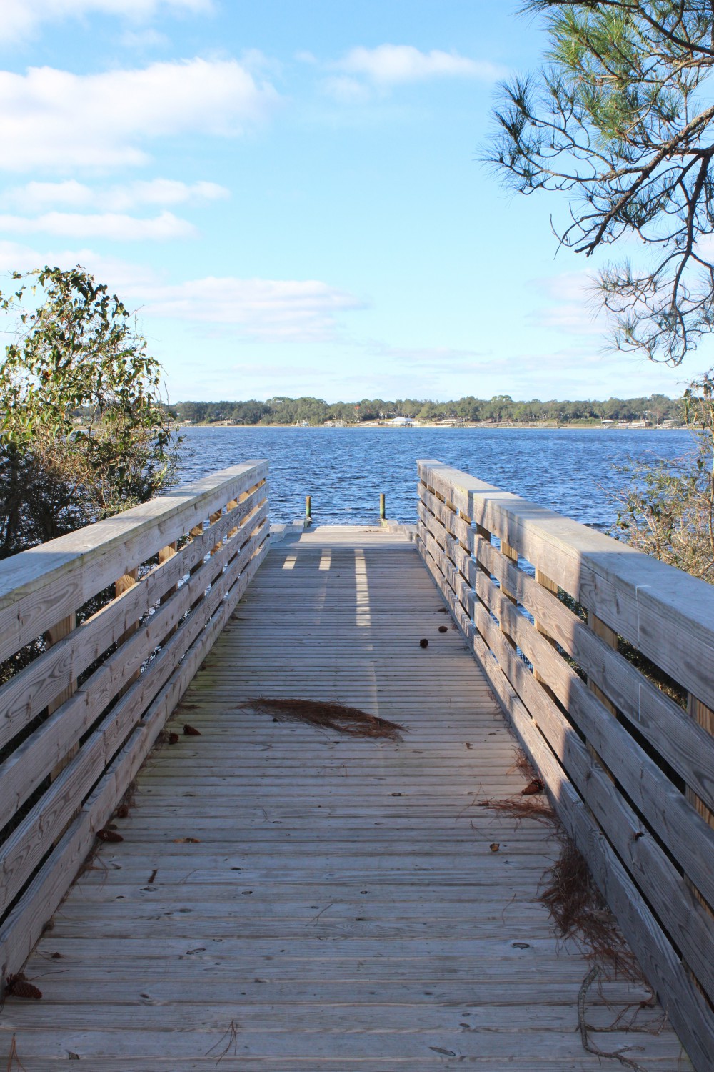
This public kayak ramp is found on the north side of Perdido Key. From here the paddler can visit several small islets and snorkel grassbeds. There’s good fishing too. The ICW is narrow here though so you need to be aware of large boat traffic.
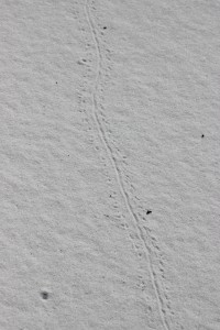
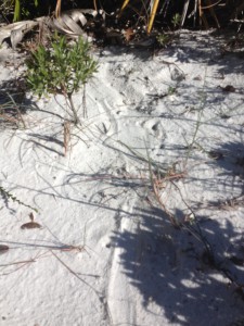
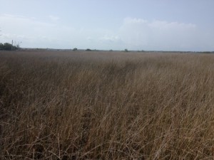
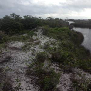
The last 12 miles of Perdido Key is part of the Gulf Islands National Seashore. The road only goes about 2 miles of that but you are allowed to hike the rest. The southern shore is more beautiful white beaches and the north is bordered by Big Lagoon. Big Lagoon is pretty shallow and outside the ICW host a lot of seagrass. Here you can snorkel for hours and see fish, crabs, and maybe a scallop or two (they are illegal to harvest here though). Many species of birds can be found here including osprey. There is a short natural trail at the kayak launch on the lagoon side of the park where you can see a variety of dune plants, animal tracks (such as deer), and other wildlife such as coachwhip snakes and the elusive diamondback terrapin. You can paddle from the kayak launch 12 miles to the east point and “Ft. McRae”. Seagrasses, salt marshes, dunes, freshwater ponds, and assorted wildlife can be found here. Back Country Camping is allowed in this portion of the Seashore but you must register at the Ranger station.
As you leave Perdido Key you find Big Lagoon State Park on your right. Located on north shore of Big Lagoon you will find the ICW. This park provides camping, hiking, snorkeling, birding, and kayak rentals. The park has hiking trails and freshwater ponds that harbor a variety of wildlife including species of freshwater turtles. Just down Gulf Beach Highway you will find Southwind Marina, which is home to many charter boats. Also located on Big Lagoon these charters have quick access to offshore reefs in the Gulf of Mexico for those interested in diving and fishing, including trips to hunt the invasive lionfish.

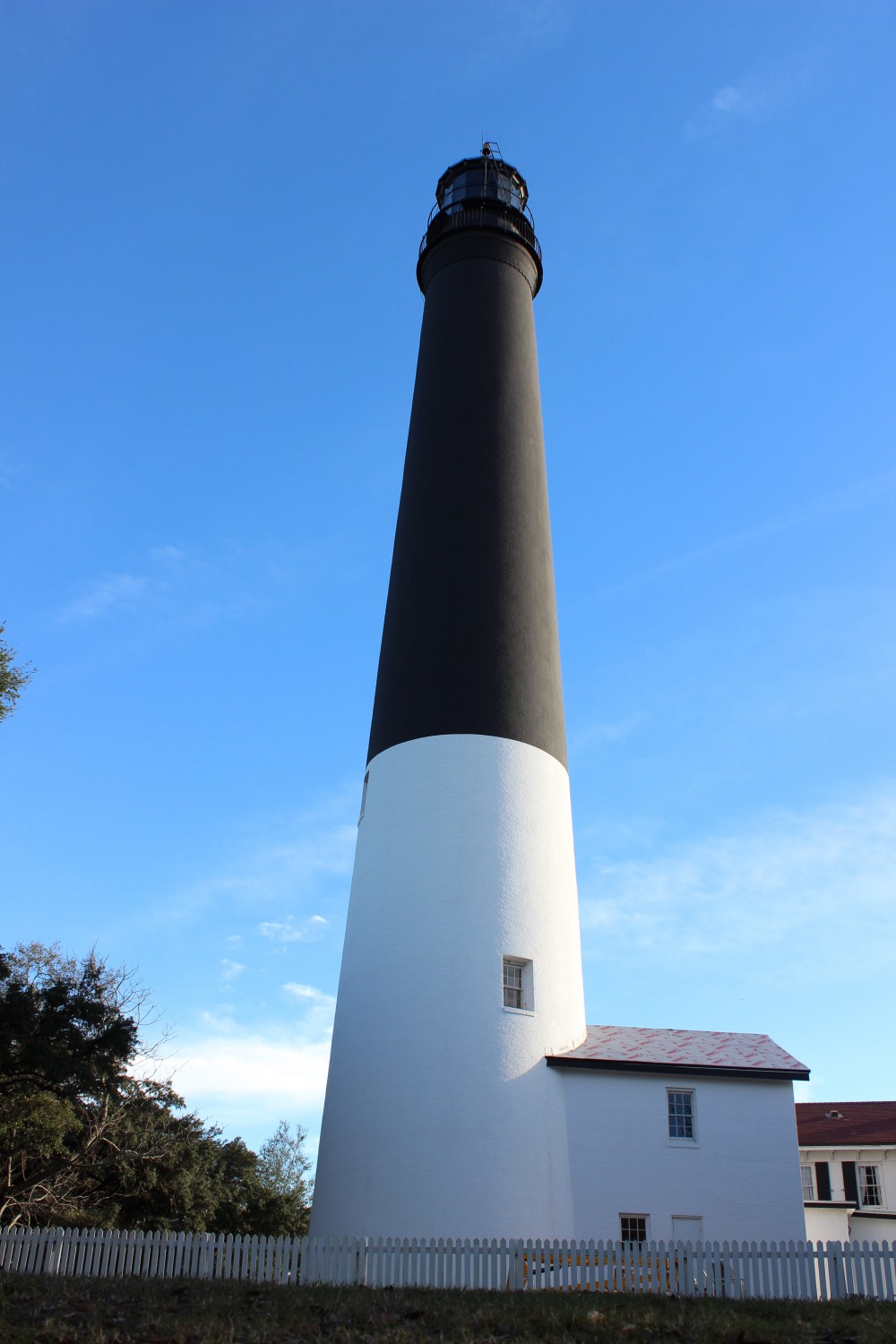
The 150′ Pensacola Lighthouse was first lit in 1859. The distinctive colors made it easy for mariners to identify from offshore and the light signal (time between flashes) is 21 seconds. This is a must see for those visiting the Perdido Key area.
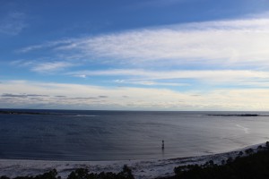
From the Pensacola Lighthouse you get a great view of the open Gulf and the eastern end of Perdido Key. Here the pass separates Perdido Key (on the right) and Santa Rosa Island.
Before you leave the Perdido Key area and head for Pensacola Beach the nature tourist should make a stop at NAS Pensacola. The 150 foot Pensacola Lighthouse is open to the public and the views of the ICW as well as the two barrier islands (Perdido Key and Santa Rosa Island) are wonderful. There is a nature trail aboard NAS called Trout Point which leads you from the main road to the ICW.
To learn more about nature trips in the Perdido Key area contact Sea Grant Agent Rick O’Connor at (850) 475-5230 or roc1@ufl.edu and to find local nature tours visit NaturallyEscaRosa.com
Next stop… Santa Rosa Island.
by Rick O'Connor | Sep 19, 2015
I am not going to lie… I skipped August… It was hot…
September however was nice. The day I made the hike the skies were clear and the temperature was 75°F! wonderfully… truly wonderful.
If you are like me you probably begin your day around the same time – and have probably noticed that it is darker when you get up. September 22 is the fall equinox and the length of our day will be exactly 12 hours of daylight and 12 hours of darkness. We then enter the “dark side” of the calendar year – the days will become shorter… and already have. As we move into autumn on our beaches we will notice some changes. One, fewer visitors, but we will also notice changes in wildlife.
The steep incline of a winter time beach scarp.
Photo: Molly O’Connor
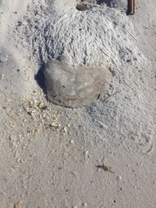
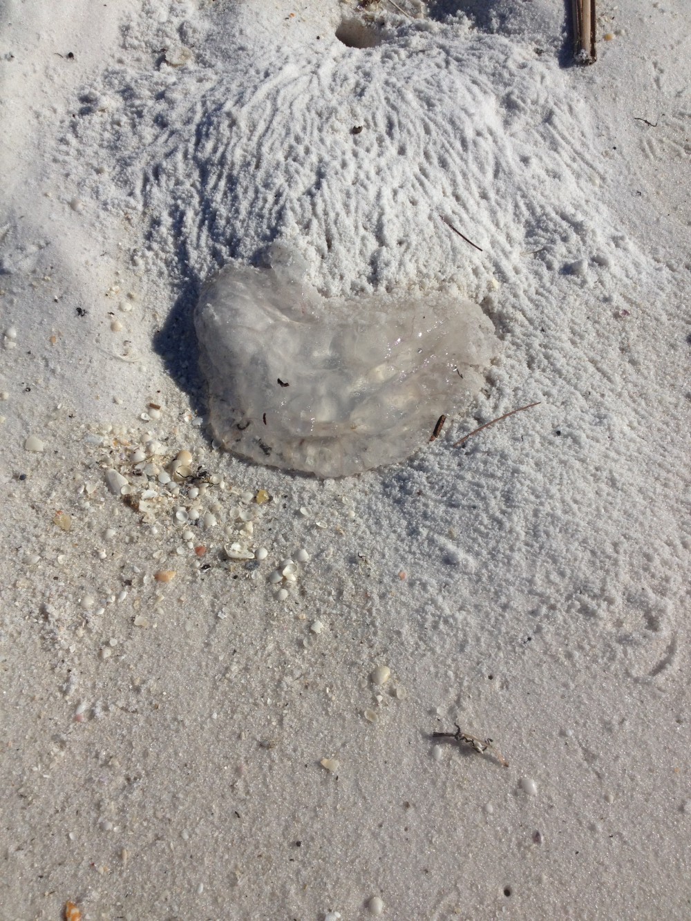
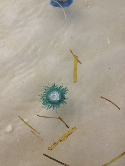
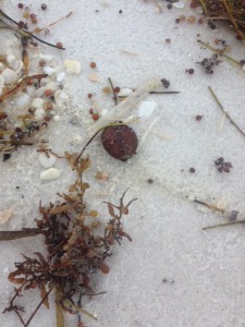
The remnants of moon jellyfish near a ghost crab hole.
Photo: Rick O’Connor
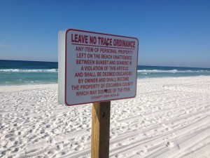
Many counties in the panhandle have lighting and barrier ordinances to protect wildlife and workers.
Photo: Rick O’Connor
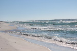
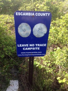
As you can see in the photograph the scarp of the shoreline is becoming more pronounced. As the sun begins to spend more time below the horizon the winds shift, the waves change, sand is moved more offshore and the shape of our beach changes as well. You may have noticed the purple safety flags have been flying a lot recently. These mean “dangerous sea life” and we have been seeing a lot of jellyfish as the summer comes to a close. Today I noticed a lot of ghost crab holes. These guys are always around but their presence seems more noticeable this time of year – possibly due to more available food. Over the last six months I have been working with CleanPeace and the Escambia County Division of Marine Resources monitoring marine debris. Our objective is to determine what the major local debris issues are and develop an education program to try and reduce these problems. Cigarette butts have been consistently the #1 item since January. Many of you probably remember the “Keep Your Butt off the Beach” campaign a few years back… apparently did not worked well. We will have to educate locals and visitors to please take their cigarette butts with them. For those in Escambia County you will now notice the new Leave No Trace signs. The Escambia County Board of County Commissioners passed a new ordinance this past month that requires all residents and visitors to remove items from the beach overnight. Not only have these negatively impacted nesting sea turtles they have become a hazard for evening work crews and the general public. Most panhandle counties have some form of “Leave No Trace”. Please help educate everyone about their ordinances.

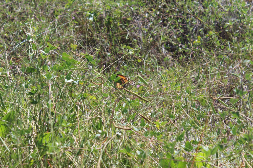
The majestic monarch butterfly stopping along the panhandle on its way to Mexico.
Photo: Molly O’Connor
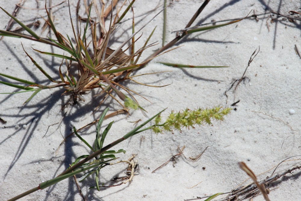
The common sandspur.
Photo: Molly O’Connor
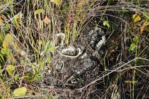
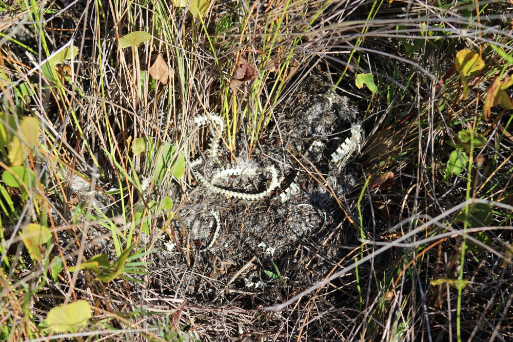
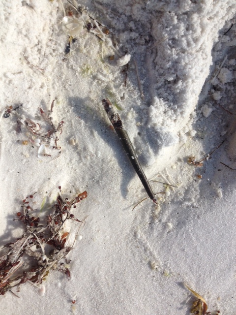
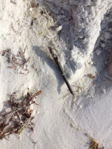
A snake skeleton found near the swale area on the island. Between the primary and secondary dune.
Photo: Molly O’Connor
Fall is the time of the monarch movement. Typically they begin to show in numbers after the equinox but we did see a few on the island this week. Be ready, next month should be full of them. The sandspurs were beginning to develop their spiny seed pods. I would caution all to check their shoes and clothing before leaving the beach this time of year to avoid carrying these seed pods home and distributing them in your yard… uncool.
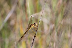
One of the many species of dragonflies that visit our islands.
Photo: Molly O’Connor
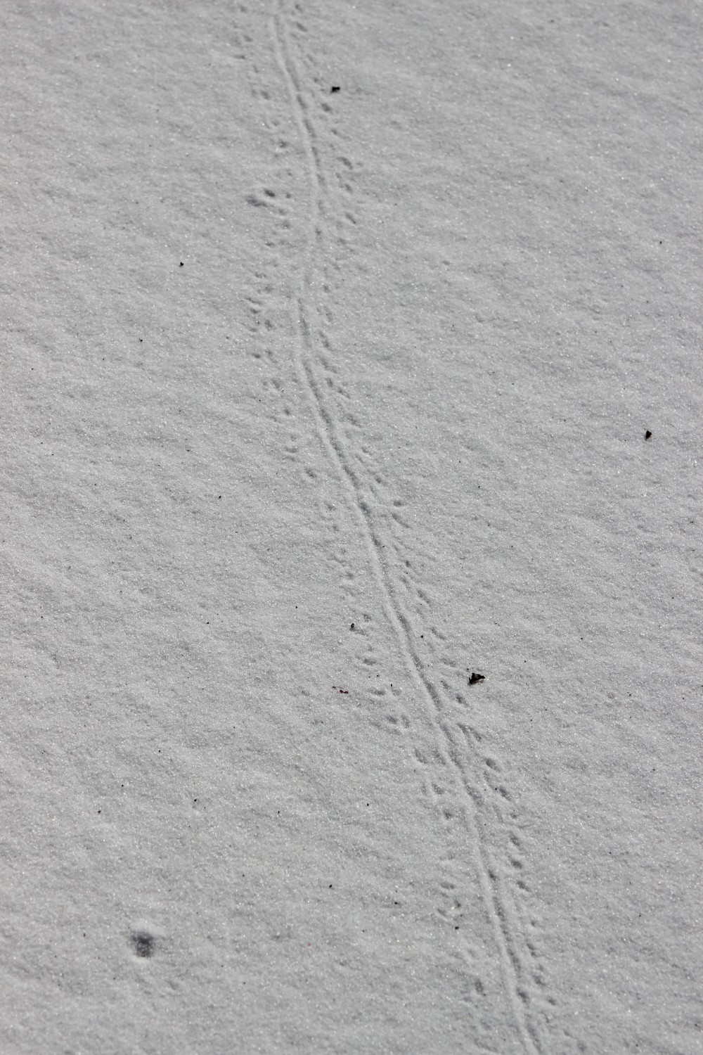
The tracks of the very common armadillo.
Photo: Molly O’Connor
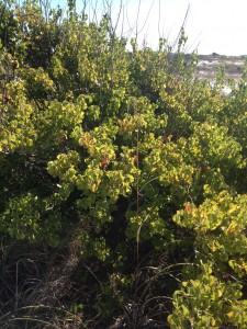
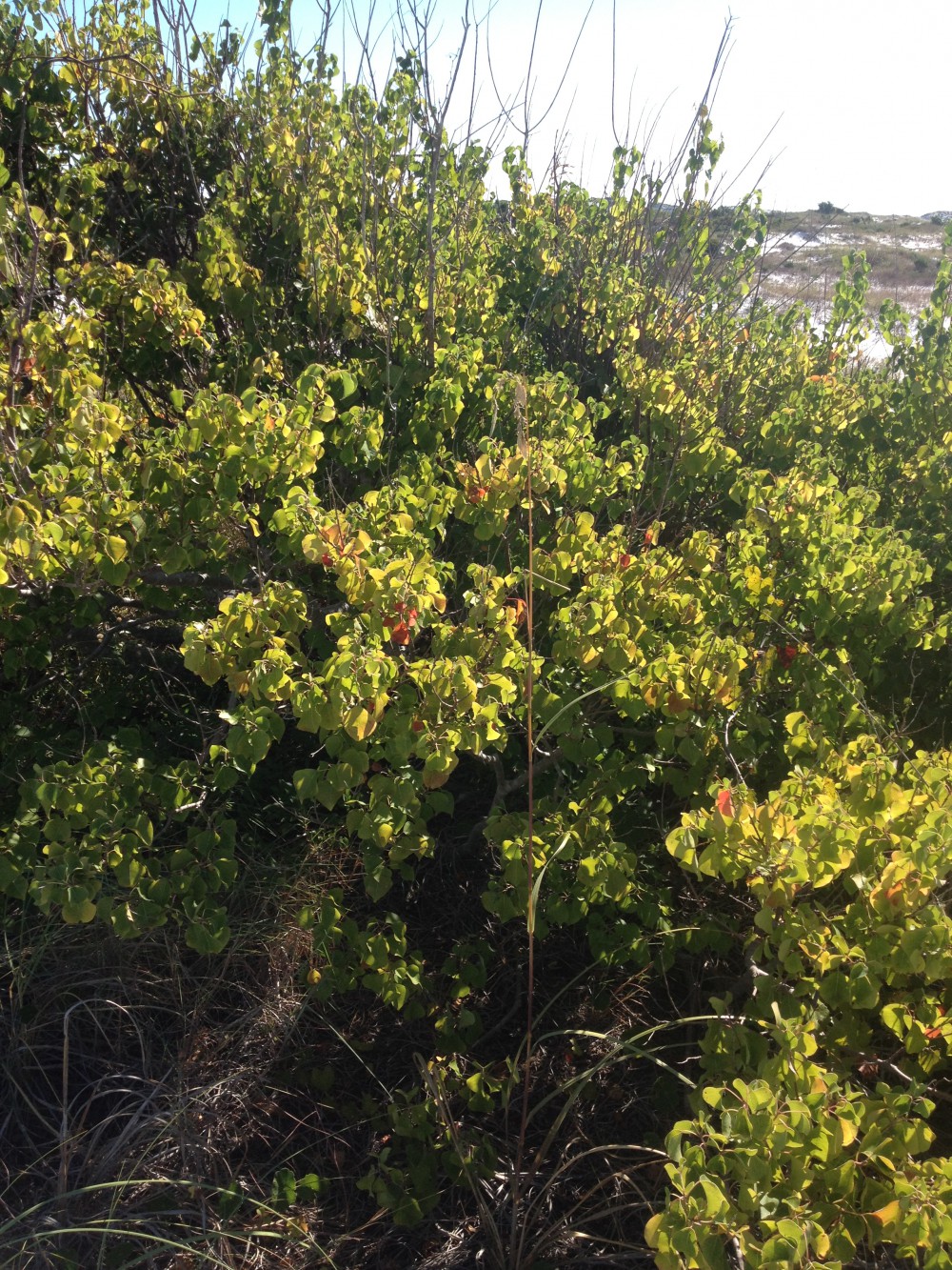
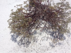
The invasive Chinese Tallow.
Photo: Rick O’Connor
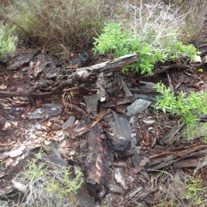
We did see evidence of snake movement this week. There are several species, including the Eastern Diamondback Rattler, which will breed in the fall as well as the spring. I expect to see more activity as the days grow shorter. The dragonflies were very active this month. Actually my wife witnessed two of them consistently pestering a monarch butterfly until the butterfly moved away. I have seen armadillo activity every month of the year so far, this month was no different. The islands seem full of them. This lone Chinese Tallow has formed a small dune where other plants have established and many creatures have taken up residence. At this time there are no other Tallow in the area, and this one will need to be removed before the spread begins. But it is an interesting paradox in that there was an armadillo burrow found here and the sea oats have utilized this dune as well. Invasive species are a problem throughout the state and many have caused with economic or environmental problems – or both! Though this tree has participated in establishing a much needed dune on our hurricane beaten island – native plants do the same and should be favored over non-native. We will have to remove this tree.
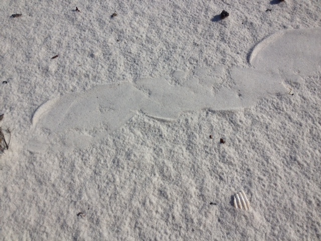
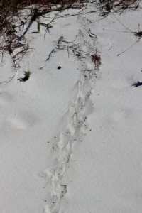
An unknown track; possibly of a turtle hatching.
Photo: Molly O’Connor
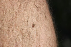
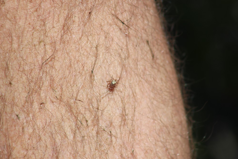
This tick was a hitchhiker on our trip through the dunes.
Photo: Molly O’Connor
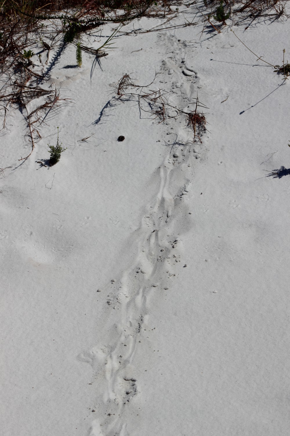
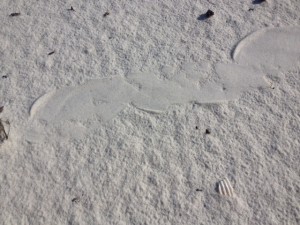
This track was found in the tertiary dune system and could be an adult turtle.
Photo: Rick O’Connor
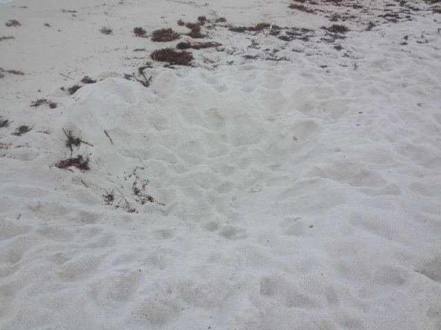
This small track has the appearance of a “turtle crawl”. It certainly is not a sea turtle, in the middle of the dune field for one thing, but there are several freshwater ponds on our islands that harbor a variety of “riverine turtles”. I know that Cooters, Sliders, and Snappers live on Santa Rosa Island. Terrapins are found in salt marshes. Not sure if this is a turtle but all should be aware that now is hatching time. Many turtle nests began hatching about a month ago and young turtles can be found in a lot of locations. The track in this picture is from a very small animal.
Ticks… yep ticks… It is hard to do a lot of fun outdoor activity in the southeast without encountering these guys. They like to sit on top of tall grass and wait for a mammal to come rummaging through. After each hike we always do a “tick check”. I typically wash my hiking clothes AS SOON AS I GET HOME – in case they are harboring within… I would recommend you do the same. We have been following the “mystery track” since January. This “bed” we have seen each month is in the same location. I thought I had solved the mystery in July when I found armadillo tracks all around it but this month suggest this is not an armadillo. We are not sure what it is – we are leaning towards alligator or otter (both of which can be found – and have been found – on our islands). We will continue to monitor this and hopefully find the sculptor.

The top of a pine tree within a tertiary dune.
Photo: Molly O’Connor
The seagrass in the sound looked very thick and healthy this month. I have seen horseshoe crab here over the summer and Sea Grant conducted a scallop survey in Santa Rosa Sound and Big Lagoon within Santa Rosa and Escambia counties in August. We found no live scallop but plenty of dead ones – and some of that shell material was relatively “new”. Since scallops only live a year or two this is a good sign. There has been plenty of anecdotal evidence of live ones in the area. REMEMBER THAT IT IS ILLEGAL TO HARVEST SCALLOP WEST OF PORT ST. JOE AND ONLY FROM JUNE 27 TO SEPTEMBER 24 (Learn More). We will continue to conduct these surveys each summer to determine if our area would be a good candidate for a scallop restoration project.
As the days shorten and cool – I am expecting more wildlife activity to begin. Until next month.
by Rick O'Connor | Jul 17, 2015
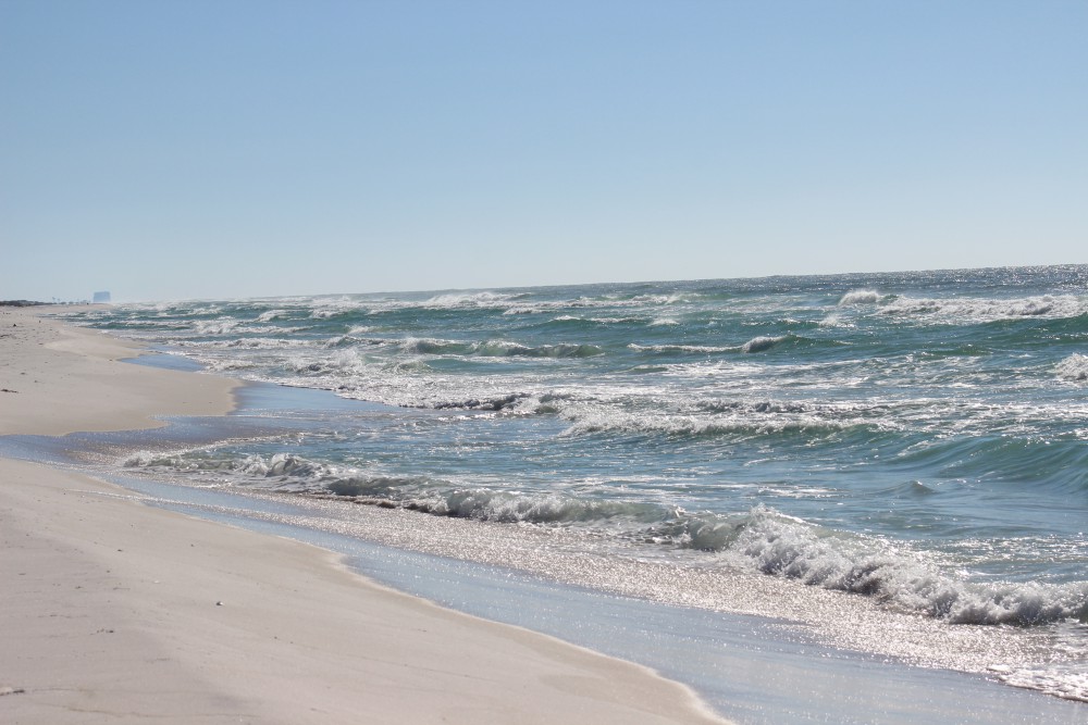
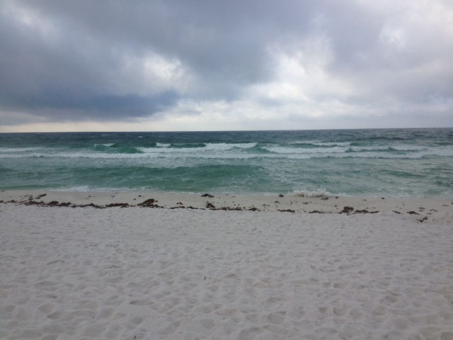
The air temperatures are in the high ‘90’s and the heat indices are reaching over 100°F; heck the inland water temperatures are in the high ‘80’s – it’s just hot out there! But our barrier island wildlife friends are doing okay, they have had to deal with this many times before. Deep burrows and nocturnal movement lead the list of behavior adaptations to cope but some still scurry around during daylight hours.
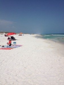
People visiting the Gulf coast during the summer.
I typically begin my monthly hikes along the Gulf shore to see what is out and about; this month there were humans… and lots of them. This is the time of year that vacationers visit our islands. Traffic is bad, nowhere to park, long lines, etc. But it is part of living on the Gulf coast. We are glad to have visitors to our part of the state. We do ask that each evening they take their chairs, tents, and trash with them. Have fun.

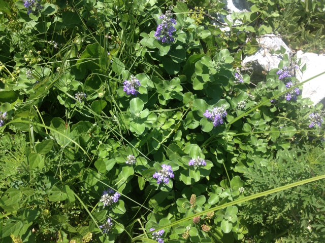
This plant, Redroot, grows in the wetter areas of the secondary dune.
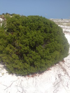
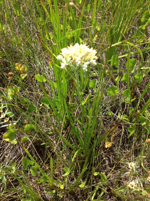
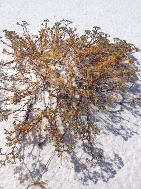
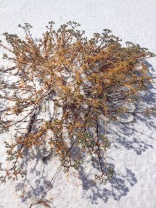
Seaside Rosemary
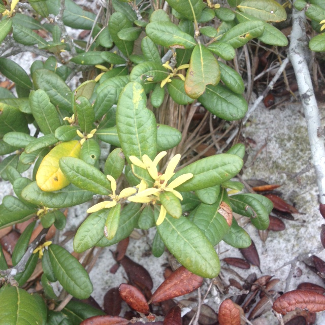
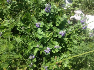
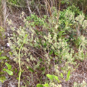
During these hot days of summer this flower was blooming all throughout the freshwater bogs of the secondary dunes. The plant is called REDROOT and it is really pretty. I did not see any insects near it but it was in the warm part of the day that I made my hike this month. The round shaped SEASIDE ROSEMARY is one of my favorite plants on the island. The odor it gives off reminds me of camping out there when I was a kid and of the natural beach in general. I have been told that Native Americans did use it when cooking, but can’t verify that. This is a neat plant either way. I believe there are male and female plants in this species and they have a low tolerance of fire and vehicle traffic.
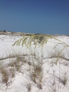
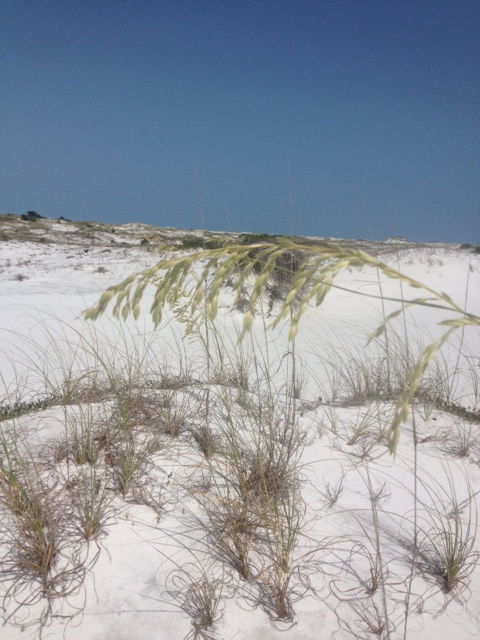
The new, young seeds of the common sea oat.
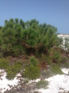
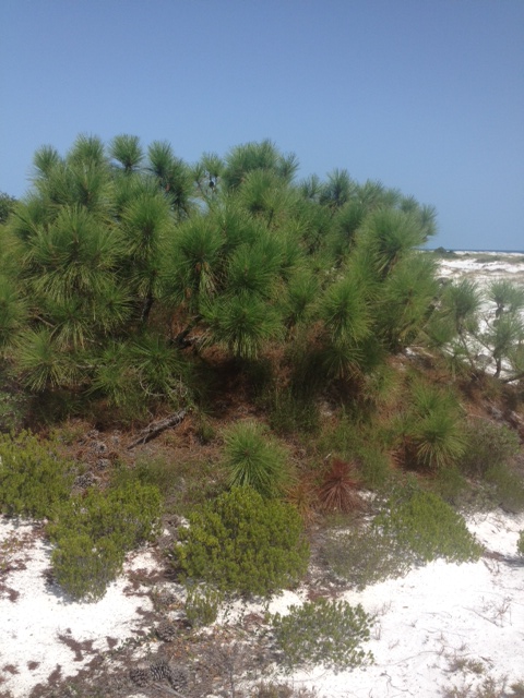
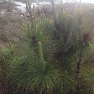
Though it appears small, this is the same species of pine that grows tall inland.
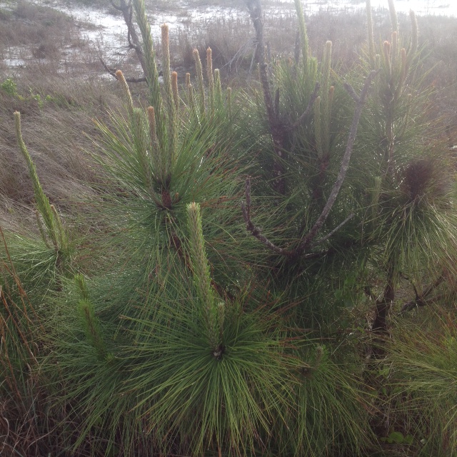
The most famous plant on our barrier islands is the SEA OAT. However most think of them in the primary dune fields only. They actually grow all across the island as long as their seeds fall in a place where the wind is good, usually at the tops of dunes. As many know the roots and rhizomes of this plant are important in stabilizing the dunes, hence the reason why in most states it is illegal to remove any part of the plant. This PINE is the same type found growing 40 feet up in your yard but here on the beach salt spray and wind stunt their growth. Also the moving sand covers much of the trunk, making the tree appear much smaller than it really is. Pines are quite common on the island.
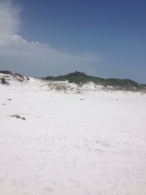
The tall trees are covered by quartz sand forming the tertiary dune system.
The expanse of marshes that make up Big Sabine on Santa Rosa Island.
The large trees of the barrier island system are typically found in the TERTIARY DUNE field. Here we see pine, oak, and magnolia all growing forming dunes that can reach 50 feet high in some places. Behind large tertiary dunes are the marshes of BIG SABINE. These marsh systems are some of the most biologically productive systems on the planet. 95% of our commercially valuable seafood species spend most, if not all, of their lives here. We will focus on this ecosystem in another edition of this series Discovering the Panhandle.

The red cones of the Sweet bay identify this as a relative of the magnolia.
The “mystery tracks” we have been seeing since January now show the small tracks of a mammal; probably armadillo.
This SWEET BAY is a member of the magnolia family and the small red cones show why. I had not seen the cones until now, so guess they like the heat and rain. WE HAVE SOLVED THE MYSTERY TRACK… knew we would. If you have read the other additions in this series you may recall we have found a track that appeared to be a “slide” coming out of the marsh and into a man-made pond from the old hatchery. Never could determine what was causing this but saw it each month of the year. However this month you could see the individual tracks of a mammal; I am guessing armadillo but could be opossum or raccoon as well. Cool… got that one behind us. On to other discoveries.
Acres and acres of Black Needlerush indicate this is a salt marsh.
Bulrush and other plants indicate that this is not salt water, but a freshwater marsh.
Marshes differ from swamps in that they are predominantly grasses, not trees. Salt marshes, as you would expect, have salt water. Fresh water the opposite… yep. The photo on the left is the salt marsh. The grass species are different and help determine if the water is fresh or brackish. Next year we will do a whole series in this ecosystem – it is pretty cool.
Until next month… enjoy our barrier islands.
by Rick O'Connor | May 29, 2015
This month there were many more plants flowering… it is true that April showers do bring May flowers. May not only brings more flowers but more tourists. Everyone is out enjoying the weather, including some wildlife. I was happy to include Florida Master Naturalist Paul Bennett on this hike and he was very helpful identifying plants. Thanks Paul!

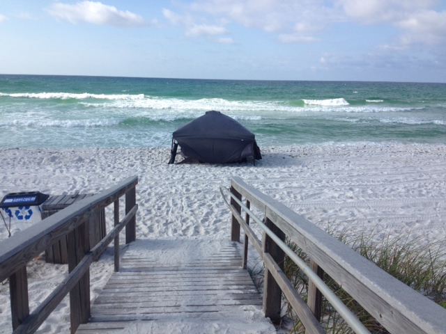
Tent set up on Pensacola beach to protect from the sun. Photo: Rick O’Connor
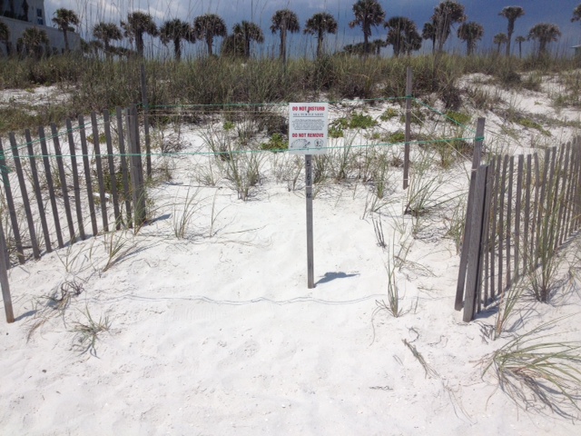
Sign altering and educating folks that this is a sea turtle nest. Photo: Rick O’Connor
It is sea turtle nesting season all along the Florida Panhandle. The season begins in May and ends in October. This time of the season the females are heading up the beach looking for good nesting locations near dunes. There are five species of marine turtles that inhabit the northern Gulf and there are records of each species nesting here. They emerge at night and move towards the dunes where they excavate a deep cavity to lay about 100 eggs. The nest is covered and she returns to the water. The incubation period is between 60-70 days and the temperature of the nest determines the sex of the hatchling; the warmer eggs becoming females. It is illegal to disturb a sea turtle nest.
This tent was occupied when I was there but all too often they are left overnight so folks can return the same spot the following day. Tents and chairs are barriers for both nesting females and emerging hatchlings. If at all possible, remove these for the evening. In some counties it is required. Another problem is artificial lighting. Adult turtles are distracted, and many times abort the nesting activity due to bright lights. Most panhandle counties have a lighting ordinance that requires homes to use turtle friendly lighting. To learn more about the turtle friendly lighting program and local ordinances contact your county Sea Grant Agent at the local Extension office or visit http://myfwc.com/wildlifehabitats/managed/sea-turtles/lighting/.
This county sign marks a public snorkel reef and also educates everyone about lionfish. Photo: Rick O’Connor
Mangrove seed washed ashore. Photo: Rick O’Connor
Summer means swimming and in many local counties there are interesting snorkel reefs nearby. We asked that everyone keep an eye out for the invasive lionfish as they enjoy their day. If one is spotted be aware they do have venomous, though not deadly, spines and please contact your local Sea Grant Agent at the county Extension office to let them know. If you are in Escambia County you can log your sighting at www.lionfishmap.org and FWC has a lionfish app for reporting; http://myfwc.com/news/news-releases/2014/may/28/lionfish-app/
The seed is of a red mangrove tree. These are common coastal plants in south Florida and elsewhere in the tropics. The red mangroves drops their seeds (propagules) into the water to drift in the currents to new locations. They frequently wash upon our shores and sometimes take root, but they do not last during our colder winters.
This Whitlow-Wort, also known as “square flower”. Common dune plant. Photo: Rick O’Connor
Track of an unidentified snake crossing a dune. Photo: Rick O’Connor
The flower to the left is the Whitlow-Wort, or as some locals call it… “square flower”. The track is of a snake but could not find it so I am not sure which species. The weather warms quickly here along the Gulf coast. A few months ago we may have been able to find this animal but with the increasing heat they were in a cool place somewhere. Snake encounters this time of year are typically at dawn and dusk.
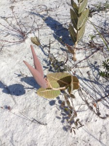
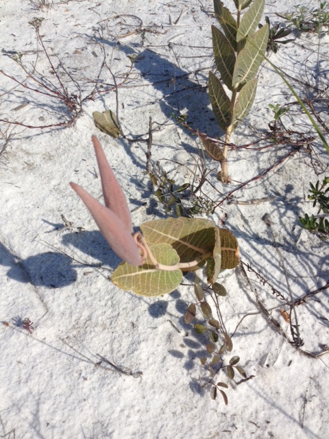
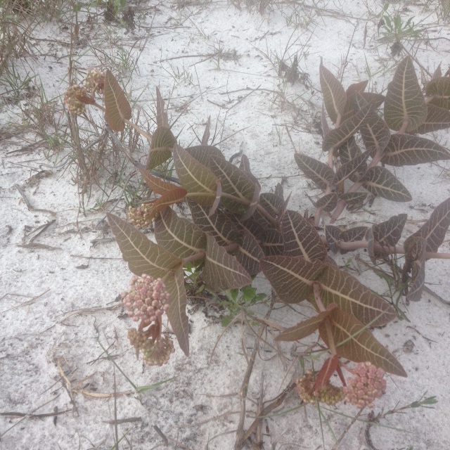
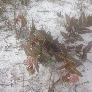
The seed pod of a milkweed. Photo: Rick O’Connor
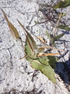
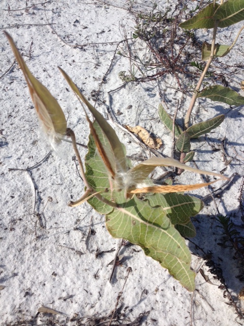
An open seed pod of a milkweed releasing seeds. Photo: Rick O’Connor
The milkweed bloomed a few months ago but here in May we find both the seed pods and, in the photo to the right, the “dandelion-like” seeds being released. This is one of the plants used by the migrating monarchs, which we should see later in the year.

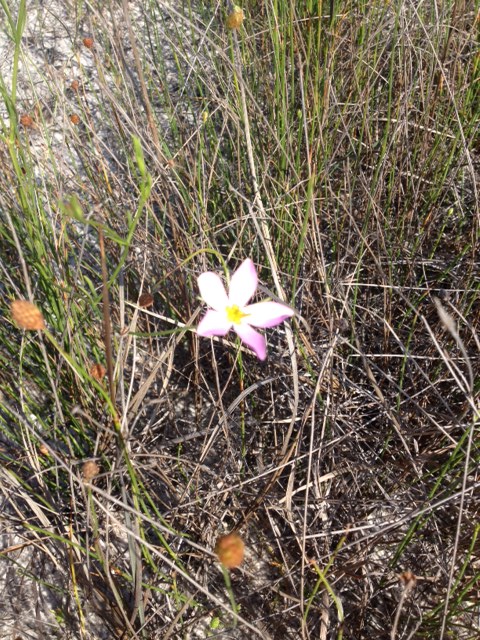
Marsh Pink, a flower found in the wetter areas of the island.
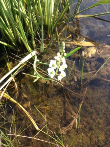
Narrow-leaved Sagittaria. Another water loving plant.
Here are two of the many flowers we saw today. Both of these were found in the freshwater ponds located in the swale areas of the barrier island. The flower to the left is known as Marsh Pink. The one to the right is Narrow-leaved Sagittaria.
The yellow vine called “Love Vine”; correct name is Dodder.
It is good to see bees on the island.
This orange-yellow stringy vine is called “Love Vine” but there is not much love here; this is a parasitic plant called Dodder. This is the first we have seen of it this year and expect to see more. Many residents on the island believe it to be an non-native invasive plant but it is actually a native and quite common out there. I have also seen it in the north end of Escambia County.
We did see a few bees today and this is a good sign. There have been reports in recent years of the decline of our native bees and the impact that has had on gardening and commercial horticulture. In addition to seeing bees Paul and I also came across the famous yellow fly. These were encountered near the marsh on the sound side of the island. Loads of fun there!

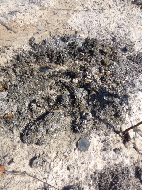
The “bed” made by an unknown animal that has been frequenting this location all year. Photo: Rick O’Connor

This scat pile was near the location of the “bed” and along the drag marks made by this animal.
If you have been following this series since we began in January you may recall the strange “bedding” and drag marks we have encountered near the marsh (you can read other issues on this website). I have seen these drag marks, and apparent bedding areas, every month except last. I showed them to Paul and we are still not sure what is making them. Again, whatever it is seems to move from one body of water to another. We cannot find in foot tracks to help identify it… but we will!
The photo to the right is of a large scat pile approximately 15-16” across. It was relatively fresh and contained crab and shrimp shell parts. Not sure if it was left by the same animal that continually makes the drags but was in the same location so…
The pretty, but invasive, beach vitex. Photo: Rick O’Connor
Many of the plants on our barrier islands are blooming now, and so is this one. This is Beach Vitex (Vitex rotundifolia). It is an invasive/not-recommended plant. Currently we are only aware of 22 properties in Escambia County that have it. Sea Grant is currently working with the SEAS program at the University of West Florida to assist in removing them. If you believe you have this plant and would like advice on how to remove contact your local Sea Grant Agent at the county Extension office.
Let’s see what shows up in June!
by Rick O'Connor | Apr 17, 2015
As we left the winter months and headed into spring I was expecting a lot of new blooms, new animal tracks, and more live encounters with wildlife… and then the rain began. I do not know if the entire panhandle has been getting what Pensacola has but the rain has been nonstop for over a week now. I track rain days for a water quality project and for the first three months of 2015 the number of days during a month where it rained was between 23-30%. We are about half way through April and so far it has rained 61% of the days. WELL… rain or shine we will make this hike and see what is happening on our barrier island.
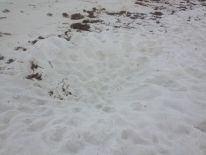
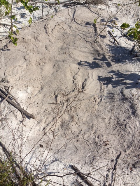
Hole left by a sand castle architect. These can be problems for wildlife and rescue vehicles. Photo: Rick O’Connor
The first thing I noticed when I began the trip along the Gulf was this large hole left by a sand castle architect. These can be problematic for some forms of wildlife, including sea turtles, but they can also be a problem for rescue and turtle watch vehicles. Please enjoy the beach and make awesome sand castles, but when you are finished please fill the hole.
Sargassum is floating form of brown algae. Notice the “air bladders” (pneumatocyst) Photo: Rick O’Connor
A tropical seed commonly referred to as a sea bean. Photo: Rick O’Connor

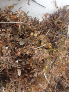
The line of seaweed and debris along the surf zone is called wrack. Photo: Rick O’Connor
The line of seaweed and debris that washes ashore during storms is called the wrack. For the most part it is natural material and provides the nutrients needed for many of the high energy shoreline plants to grow. Many of the beach animals found in the berm and primary dune depend on this wrack as well. Many locals and visitors find this material and eye sore and, at times, producing an unpleasant odor. But this material is an important part of the beach ecology. Sargassum is a drifting member of the brown algae, sometimes called “gulfweed”. It possess small air bladder structures called pneumatocysts that allow it to remain at the surface of the open Gulf where the sunlight is. These large offshore mats of Sargassum have been targets for local fishermen for decades. Many small invertebrates live in these drifting mats and these are targets for small fish, which in turn are targets for even larger sport fish. They are also the hideaway for sea turtle hatchlings. When the little guys head for the Gulf after hatching this is where they are heading. Large ocean currents, including the Gulf Stream, push Sargassum into large mats in the middle of the open ocean. The area within the Atlantic where this happens in known as the Sargasso Sea. If you get a chance this summer, grab a small hand net and mask when the Sargassum is just offshore. Collecting you may find a lot of cool interesting creatures. Sea Beans is a generic word for a variety of tropical seeds that wash ashore in the northern Gulf. Some of these may sprout, including mangroves, but most will not make it through our winters.
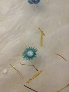
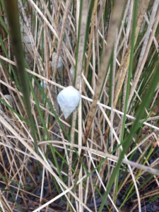
The Blue Button Jellyfish is a tropical cousin of the Portuguese man-of-war. Photo: Rick O’Connor
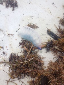
The Portuguese Man-of-War is one of the more venomous jellyfish in Florida waters. Photo: Rick O’Connor.
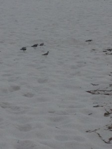
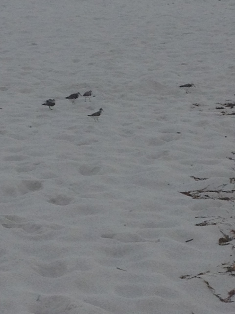
A variety of shorebirds utilize the wrack. Photo: Rick O’Connor
One of the more venomous jellyfish in Florida waters is now making its way onto our shores. The Portuguese man-of-war, named for the many “guns” this animal possess, is well known by locals but not so much by some of our visitors. The man-of-war is actually not one animal but a colony of sedentary polyp jellyfish that produce an inflated bag which floats at the surface carrying them across the sea. The dark blue tentacles hang down into the water column where passing fish are stung and consumed. Each of the polyps have connecting stomachs which helps move the food around to the whole colony. The sting of this jellyfish is quite painful and should be avoided. When they arrive life guards will usually fly a purple flag.
Their close cousins, the Blue Button Jelly, is very similar to the man-of-war albeit they are much smaller and the venom is not as potent. They are more tropical and not common along the northern Gulf but in recent years more have been washing ashore; they are here now.
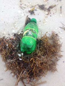
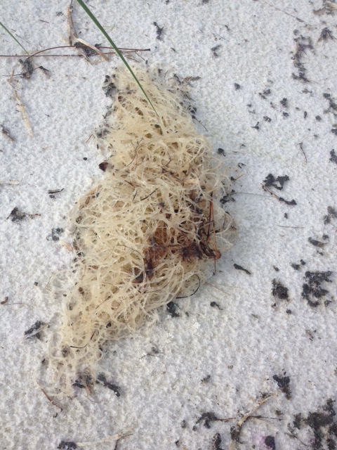
A variety of plastics ends up in the Gulf. Each is a potential problem for marine life. Photo: Rick O’Connor
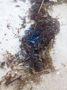
Pieces of plastic ribbon resemble jellyfish tentacles and are frequently consumed by sea turtles. Photo: Rick O’Connor
One of the bigger issues are oceans are facing are discarded plastics. These materials takes years to decompose and are found in all oceans and seas. Even some distant isolated islands have huge piles of this form of marine debris. Plastics can entangle marine organisms or they may actually swallow it, plugging their digestive system and eventually starving them. We encourage locals and visitors alike to help with this problem by taking your trash with you and discarding it in a location where it will not reach the Gulf.
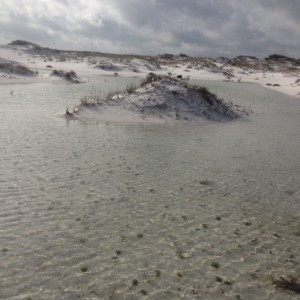
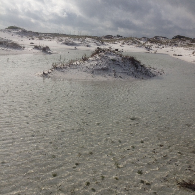
This ephemeral pond formed around a small dune which becomes a temporary island. Photo: Rick O’Connor
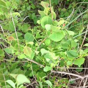
The Chinese tallow is an invasive species the entire state is dealing with. Photo: Rick O’Connor
With the heavy rains of the last week ephemeral ponds have formed on parts of the island. These small pockets of freshwater can be “manna from heaven” for many island residents, particularly the amphibians. I have been hiking this section of Pensacola beach for years, leading field trips for all sorts of groups. I have never seen this Chinese Tallow until today. Also known as the “popcorn tree” due to its unique looking fruit, this plant is listed as an invasive in the state of Florida and is very aggressive. I did not see any others and will seek permission to remove it before it spreads to other dunes and out competes the native plants.

One of the few plants blooming in April, the Spiderwort is a common weed in many lawns. Photo: Rick O’Connor
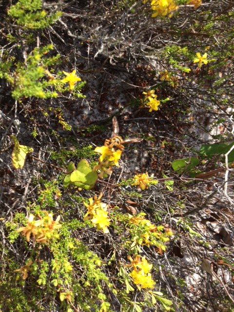
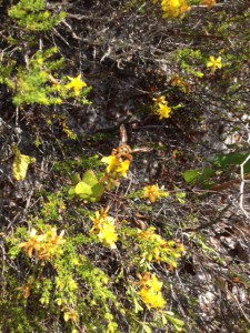
The blossoms of Conradina first appeared in February. They are all but gone this time of year. Photo: Rick O’Connor
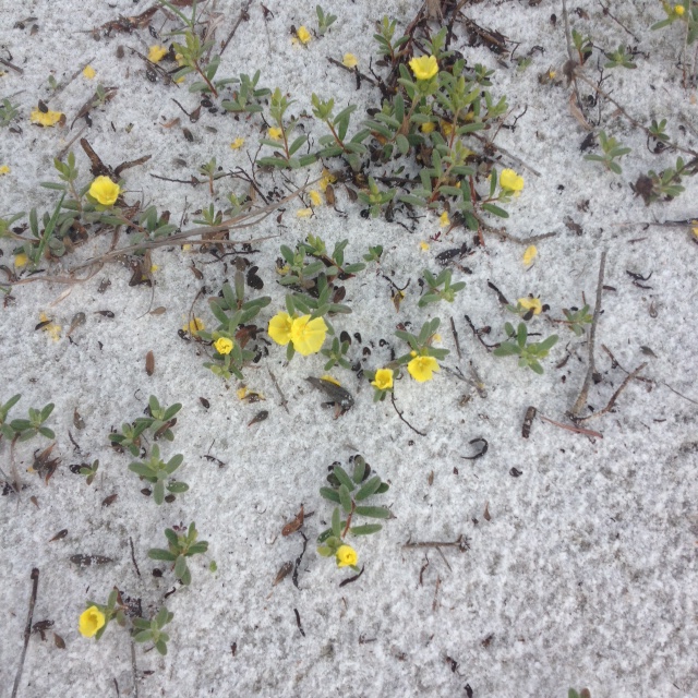
I was actually expecting more flowers to be in bloom this month but there were few. The Conradina, which have been in bloom since February, have lost most of its blossoms. The “new kids on the block” are the Spiderwort, the Primrose, the Sandhill Milkweed, and the Devil’s Joint Cactus.
There are a variety of primrose that grow on our barrier islands. They are beginning to bloom now. Photo: Rick O’Connor
New growth on a pine tree. Photo: Rick O’Connor
The Sandhill Milkweed. Photo: Rick O’Connor
The Sandhill Milkweed is one of the plants used by the monarch butterfly to gain fuel for their great flight across the Gulf to Mexico. The milky toxic sap of this plant is consumed by the monarch caterpillar but it does not harm it. The chemical toxins therefore become a defense for the monarch and the butterfly has earned the respect of many birds; though it may be a trial and error learning experience.
A decomposing log is a microhabitat for many organisms. Photo: Rick O’Connor

New growth on a live oak. Photo: Rick O’Connor
Most environmental centers, state and federal parks, leave fallen trees where they lie. The tree is actually a storage house of nutrients and full of cavities that can be used by a lot of organisms within the beach community.
The mysterious “drags” we have seen the last three months were not to be found in April. Photo: Rick O’Connor.

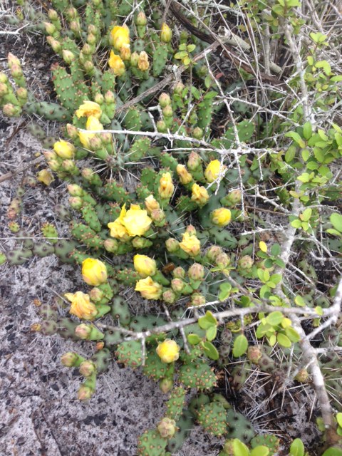
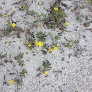
The beautiful yellow bloom of the Devil-Joint cactus. Photo: Rick O’Connor
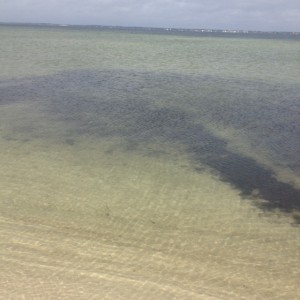
This month the weather was warm enough for me to venture into the Salt Marsh. Salt marshes are wetlands but differ from swamps in that the dominate plants are grasses, not trees. Our local salt marsh is dominated by two species of grass, the Smooth Cordgrass, and the Black Needlerush. There are many other plants that exist here but these are the most common. This particular marsh is dominated by Black Needlerush. Salt marshes are one of the most productive systems on the planet, producing tons of organic material annually. 90% of the commercially valuable marine species spend part or all of their lives here. There are many unique species to this system as well. Today the water was crystal clear but I saw few fish. I expect as it gets warmer we will see more. It is very possible that with the heavy rains that they have moved to deeper, saltier spots in the Sound.
It’s warm enough to enter the salt marsh. Photo: Rick O’Connor
The marsh periwinkle is one of the more common mollusk found in our salt marsh. Photo: Rick O’Connor
The Marsh Periwinkle is an interesting guy. This snail will crawl up the stalks of marsh plants during high tide to avoid predators like blue crab and diamondback terrapins. Both of these predators appear to be on the decline and it will be interesting to see how this impacts the ecology of the marsh. At low tide the periwinkles descend and feed on the organic leaf litter on the muddy bottom.
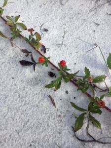
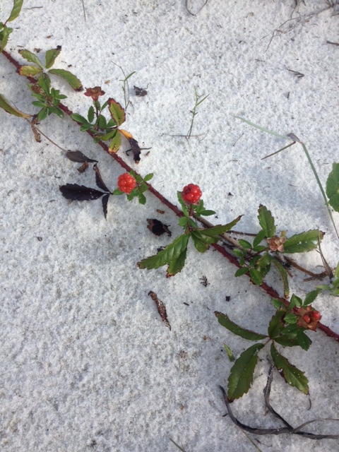
This dewberry has flowered and the dark fruit will be ready next month. Photo: Rick O’Connor

Gracilaria is a common epiphytic red algae growing in our seagrass beds. Photo: Rick O’Connor
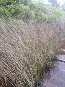
Black Needlerush is one of the two dominant plants of our salt marshes. Photo: Rick O’Connor
Though it has a white appearance, Gracilaria is a member of the red algae group. This algae grows on seagrasses as Spanish moss grows on oaks. The plant is usually kept in check by herbivorous grazers, such as green sea turtles, but in recent decades the number of predators have declined and the amount of nutrient runoff has increased. This has sparked a increase in the growth of this algae and, in some cases, to the determent of the seagrass itself.
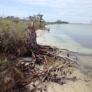
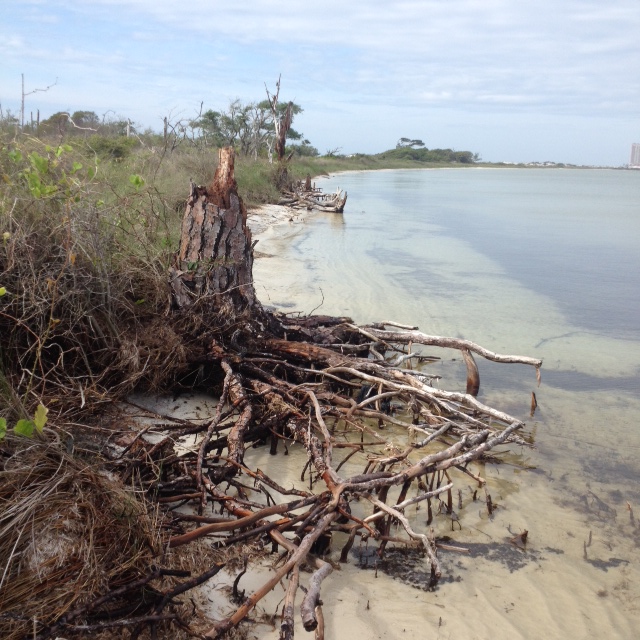
This eroded pine tree gives evidence of the ever changing shorelines of our barrier islands. Photo: Rick O’Connor
This submerged mound of peat is the remnants of a salt marsh which is now below sea level. Photo: Rick O’Connor
These photos of peat and the eroded tree are indications of a changing shoreline. Due to storms, boat wake, and time, the shoreline of Santa Rosa Island, like all barrier islands, is changing. Peat is actually the remnants of an old salt marsh that has now pass the high tide line and is within the Sound.
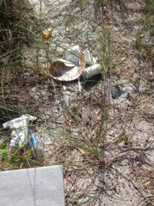
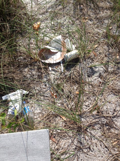
Trash left behind by those enjoying the beach. Photo: Rick O’Connor
We encourage those who pack it in… to pack it out. Photo: Rick O’Connor
As the weather has warmed and spring break has fallen upon us I have noticed an increase in the amount of trash on this hike, both the Gulf of Sound sides. We encourage locals to take their trash with them and encourage visitors to do the same. Let’s try to keep our waste out of our waters.
I am expecting some animal nesting in May. We will see what we find. Until then.