Organized and sponsored by Florida Sea Grant, the “Stem to Stern” workshop in November 2023 at the Emerald Coast Convention Center marked a significant gathering in marine conservation and management. This event drew together legal experts, representatives from the Florida Fish and Wildlife Conservation Commission (FWC), local marine resource coordinators, law enforcement, and industry stakeholders to tackle critical issues facing Florida’s marine environments. Through discussions that ranged from legal frameworks for boating and waterway access to environmental conservation strategies, the workshop facilitated a deep dive into the complexities of marine policy and stewardship. Discover new programs, insights, and collective expertise shared at “Stem to Stern.”
Florida Sea Grant Boating and Waterways Workshop
November 2, 2023 Emerald Coast Convention Center
1250 Miracle Strip Parkway SE – Ft. Walton Beach FL
9:00 – 9:25 WELCOME AND INTRODUCTIONS
Welcome
Rick O’Connor (Florida Sea Grant UF IFAS Extension)
Moderators –Mike Norberg and Jessica Valek (Okaloosa County)
3:15 – 3:45 WRAP UP – Robert Turpin (Escambia County Marine Resources)
PROGRAM SPONSORS
Acknowledgement
We extend our deepest gratitude to all who contributed to the success of the “Stem to Stern” workshop. To our esteemed speakers, whose expertise and insights into marine conservation and management have been invaluable, we offer our sincere thanks. Your presentations were not only informative but also inspirational, guiding us toward a more sustainable future for our waterways.
A special acknowledgment goes to the members of the planning and program committee. Your dedication and hard work in organizing this event did not go unnoticed. From the initial planning stages to the execution of the workshop, your efforts have been the backbone of this successful gathering.
We also want to thank the authors of the surveys that have provided us with essential data and perspectives. Your research and analysis contribute significantly to our understanding of the challenges and opportunities within Florida boating and waterways.
Lastly, we are incredibly grateful for the support from our sponsors. Your generosity and commitment to Florida Sea Grant and marine conservation have been crucial in bringing this workshop to life. Your support not only made this event possible but also highlights your dedication to safeguarding our marine ecosystems.
Together, we have taken an important step towards protecting and enhancing Florida’s waterways. Thank you for your contributions, commitment, and shared vision for a sustainable future.
Information edited and compiled by: L. Scott Jackson, Chantille Weber, and Amon Philyaw, UF/IFAS Extension Bay County
An Equal Opportunity Institution. UF/IFAS Extension, University of Florida, Institute of Food and Agricultural Sciences, Andra Johnson, Dean. Single copies of UF/IFAS Extension publications (excluding 4-H and youth publications) are available free to Florida residents from county UF/IFAS Extension offices.
Kayaking through a crystal blue spring, hiking among longleaf pines and discovering gopher tortoise burrows, gliding past alligators by boat in Mobile Bay, private tours of the EPA lab on Pensacola Beach, and meeting hundreds of fascinating, like-minded people—these are just a handful of fond memories from my experiences teaching the Florida Master Naturalist Program. Having recently celebrated its 20th anniversary, the Florida Master Naturalist Program (FMNP) has inspired the creation of dozens of similar courses in other states and proven itself to be one of the most popular outreach programs to come out of UF IFAS Extension.
Kayaking Santa Rosa Sound in Navarre is one of the highlights of our Coastal Systems FMNP class. Photo credit: Carrie Stevenson, UF IFAS Extension
The mission of the FMNP is simple—to promote awareness, understanding, and respect of Florida’s natural world among Florida’s citizens and visitors. I have always felt strongly that if you want people to care about something, they need to understand it. And to really understand something, you need to experience it. I know my own passion for science and ecology was ignited early on by teachers who took us outside and helped us encounter the many wondrous surprises in the natural world. With FMNP, we seek to do just that.
Over a span of 40 hours in 7-8 weeks, we spend about half our time with classroom presentations and the other half in the field, seeing the plants, animals, and ecosystems we discuss in class. In addition to classes and field trips, students produce a final project and present it to the class. These can range from labeled collections and slide presentations to building bird houses and new trails. The program is composed of three 40-hour core courses; Coastal, Upland, and Freshwater Systems. Seven “short courses” with 24 hours of class/field time include the Land Steward series (Conservation Science, Habitat Evaluation, Wildlife Monitoring, and Environmental Interpretation) and the Restoration courses (Coastal Restoration, Marine Habitat Restoration, and Invasive Plants). Locally, we try to rotate the core modules every couple of years and incorporate the short courses periodically. The registration fee per core module is $250 – $300 and includes a detailed course manual and, upon completion, FMNP patch, certificate, and pin denoting area of expertise. There are a handful of scholarships available for those interested in applying to offset costs.
This trail and boardwalk in Perdido Key were part of a multi-stage FMNP final project highlighting multiple ecosystem types. Photo credit: Jerry Patee, Master Naturalist
The classes do not count towards university credit, but are an excellent certification and professional development opportunity that look great on a resume. While we’ve had ecotour operators, park rangers, environmental consultants, teachers, and archaeologists (and many seeking employment in the environmental field), most of our FMNP students are not professionals in the field. They come from every background imaginable, but share an interest in the outdoors. Because we meet weekly, class members often bond and create long-lasting friendships during the courses.
Extension Agents in northwest Florida are offering two Master Naturalist courses, starting in the next few weeks. In Escambia and Santa Rosa County, we will have an in-person daytime Coastal Systems class starting March 28 and running through May 16. Walton County is teaming up with Miami-Dade to offer an evening hybrid (online class sessions, in-person field trips) Freshwater Systems course from February 18 to April 13. FMNP classes are restricted to adults 18 and over, but a new “Florida Youth Naturalist” curriculum has been designed through our 4-H program for young people. For more information on that, check out their website.
Master Naturalist students conduct field work in small groups. Photo credit: Carrie Stevenson, UF IFAS Extension
Morrison Springs in Walton County is a natural spring ideal for paddling, snorkeling, and diving. Photo credit: Carrie Stevenson, UF IFAS Extensio
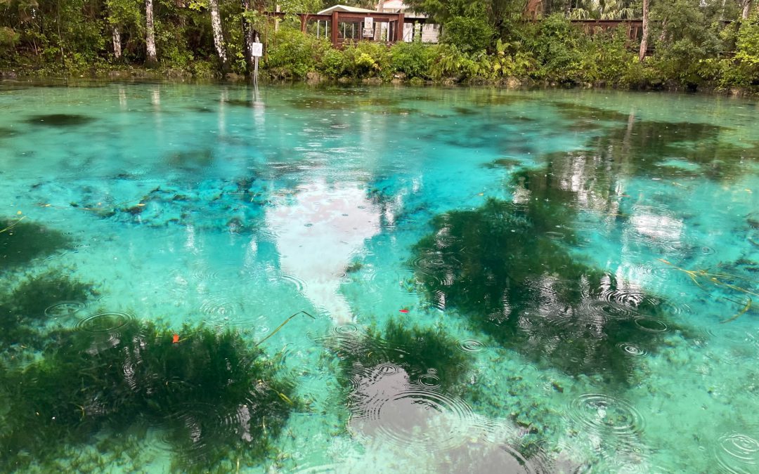
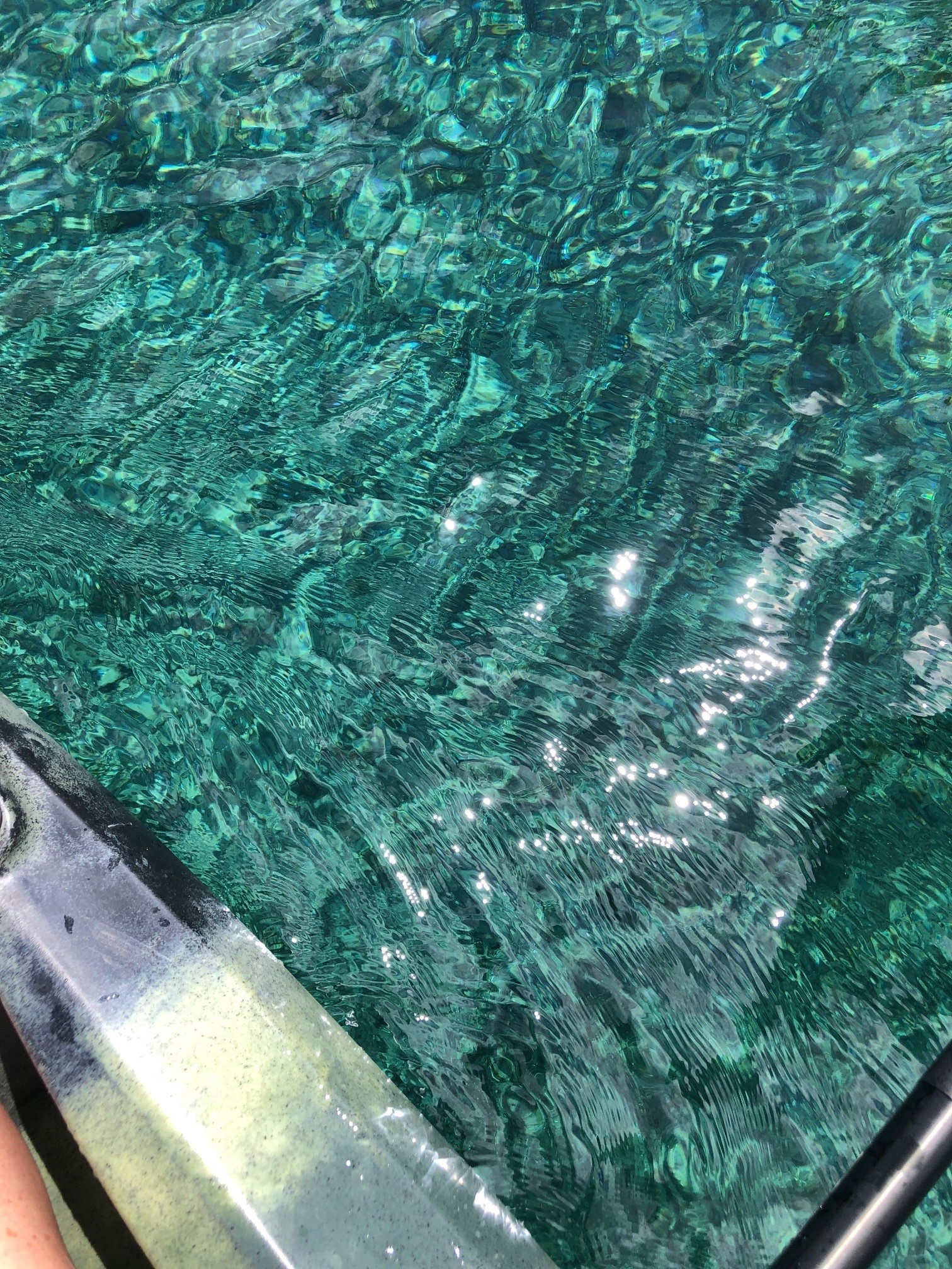
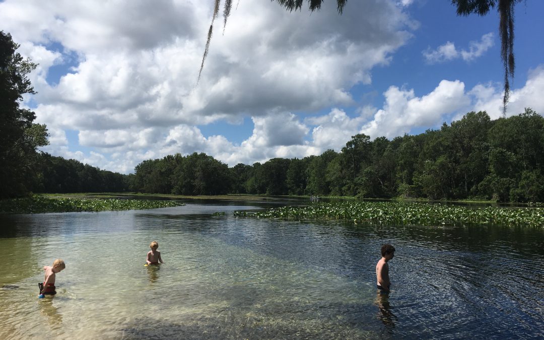
There is just SO much water in Florida. Besides the tremendous amount of rain and 1,350 miles of coastline and beachfront, there are endless bays, bayous, creeks, rivers, and streams. In this state, it is extraordinarily difficult to live more than a few miles from a body of water. Among the the coolest (literally) types of water bodies in Florida, though, are our springs. Like brilliant gemstones, the state’s 700+ springs dot the Florida landscape like a strand of sapphires.
While we have springs bubbling up all over northwest Florida in areas where the underground water table meets the surface, larger springs are more common as you move east and south. Some parts of north Florida and most of the peninsula are built on a limestone platform, known by the geological term “karst.” Limestone is composed of calcium carbonate, which has a porous and easily degradable chemical structure. When this barrier is breached, it allows the cold groundwater an opening directly to the surface water—hence a spring. (Fun fact—there are surface water streams that actually disappear into a spring—these are called swallets, operating as the reverse version of a spring!)
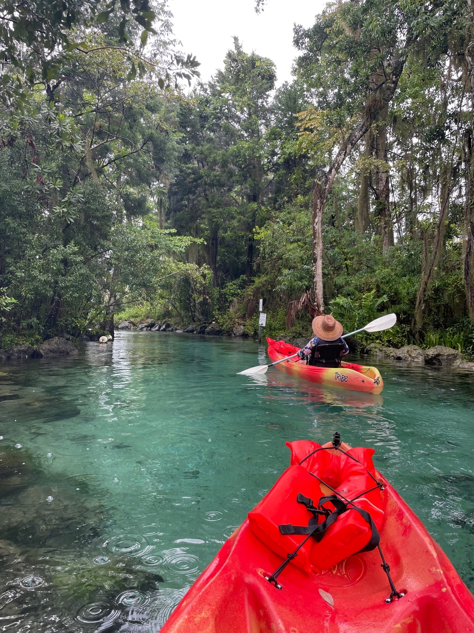
The striking blue-green water in Three Sisters Spring is only accessible by kayak or swimming. Photo credit: Carrie Stevenson, UF IFAS Extension
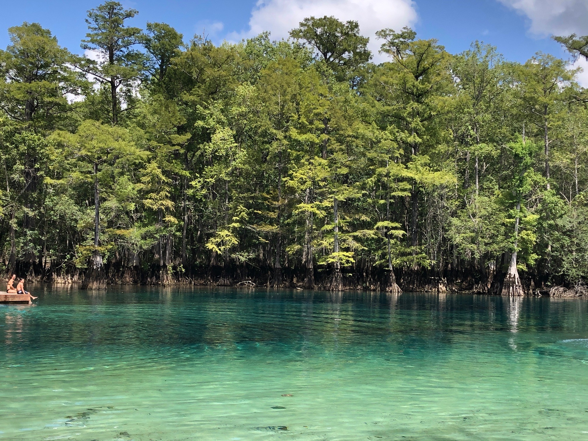
A few of the largest springs in northwest Florida are Vortex, Ponce de Leon, and Morrison Springs, found in Holmes and Walton County. Vortex is a privately operated water park and scuba diving/training facility. It is where the red and white “diver down” flag was invented and has a complex underwater cavern system. Ponce de Leon and Morrison Springs are state and county-run parks with a more natural feel, surrounded by woods and basic infrastructure for access. Morrison will especially wow visitors with its tremendous turquoise coloring.
Crystal clear water in Morrison Springs. Photo credit: Carrie Stevenson, UF IFAS Extension
Before a meeting in Crystal River last week, I paddled and snorkeled through the famous Three Sisters Spring. As part of Crystal River National Wildlife Refuge, it is a popular but highly protected area. Three Sisters is well-known as a manatee gathering place, especially in winter, but during my visit was mostly unoccupied. The color was striking, though. Why do so many of these springs have such brilliant blue and turquoise coloring? The phenomenon is essentially the same as the blue-green Gulf waters in the Panhandle. The reflection of the sky on a sunny day with the backdrop of that pure white sand causes the water to reflect a color that inspired the nickname “The Emerald Coast.” In springs, the white calcium carbonate in limestone breaks down into tiny crystals, mixing with the water and reflecting the vivid shades of blue.
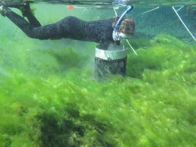
Alexander Springs Creek in Ocala National Forest is overrun with algae. Photo credit: Matt Cohen, UF IFAS
Besides their beauty, clarity, recreational, and wildlife value, springs pump 8 billion gallons of fresh water a day of into Florida ecosystems. Seagrass meadows in many of these springs are lush. Because they are literal windows into the underground aquifer, they are extremely vulnerable to pollution. While many springs have been protected for decades, others were seen as places to dump trash and make it “disappear.” Many have been affected by urban stormwater and agricultural pollution, losing their clarity, reducing dissolved oxygen levels, and prompting massive cleanup and buffer protection zones.
On one of these hot summer days in Florida, take the time to visit our incredible springs. While it may not be the literal “Fountain of Youth,” swimming in a spring is a unique and invigorating experience, and a beautiful way to get off the beaten path. A comprehensive guide to Florida springs, research, and statewide protection initiatives can be found at the Florida Department of Environmental Protection’s springs website.
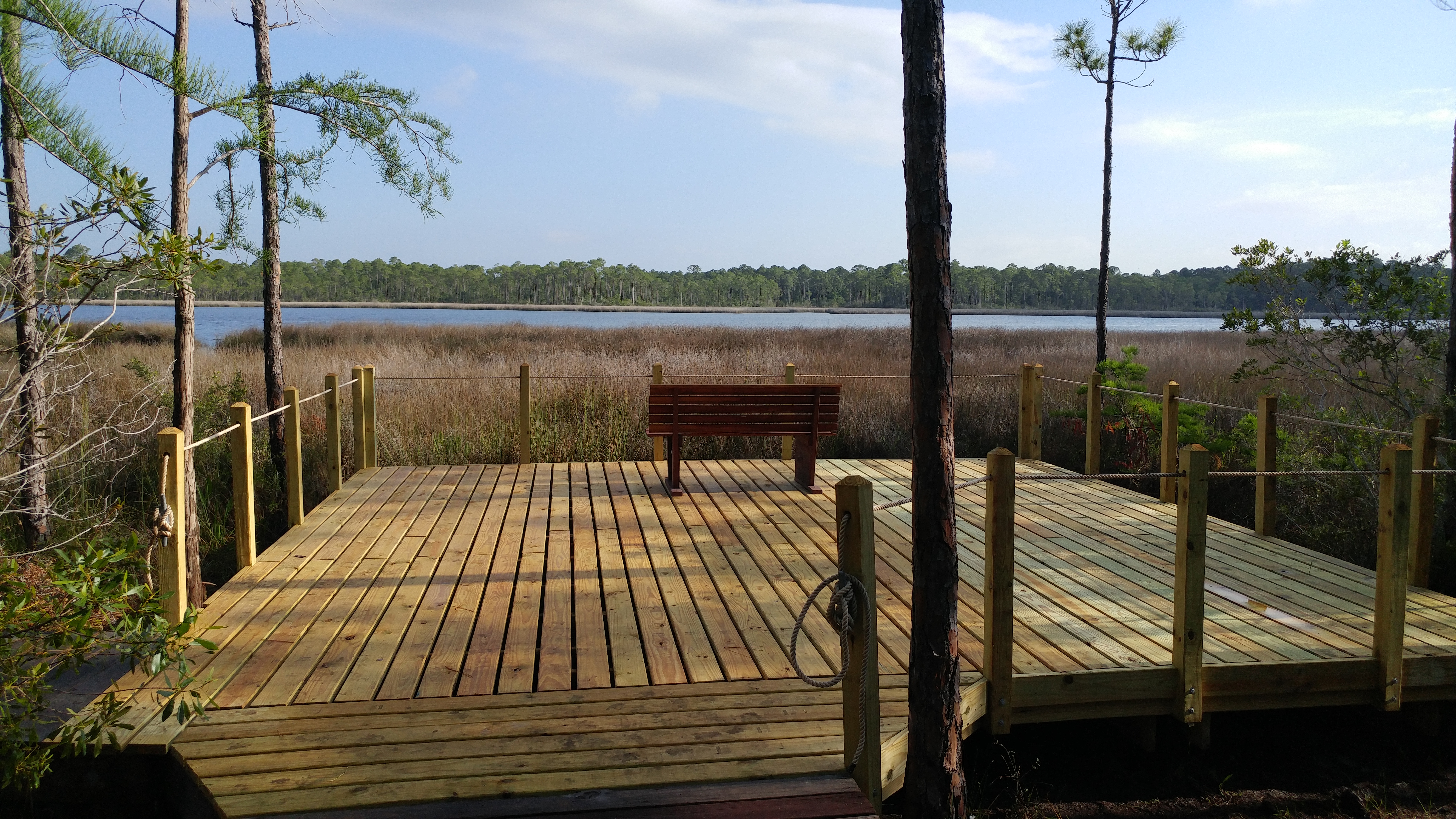
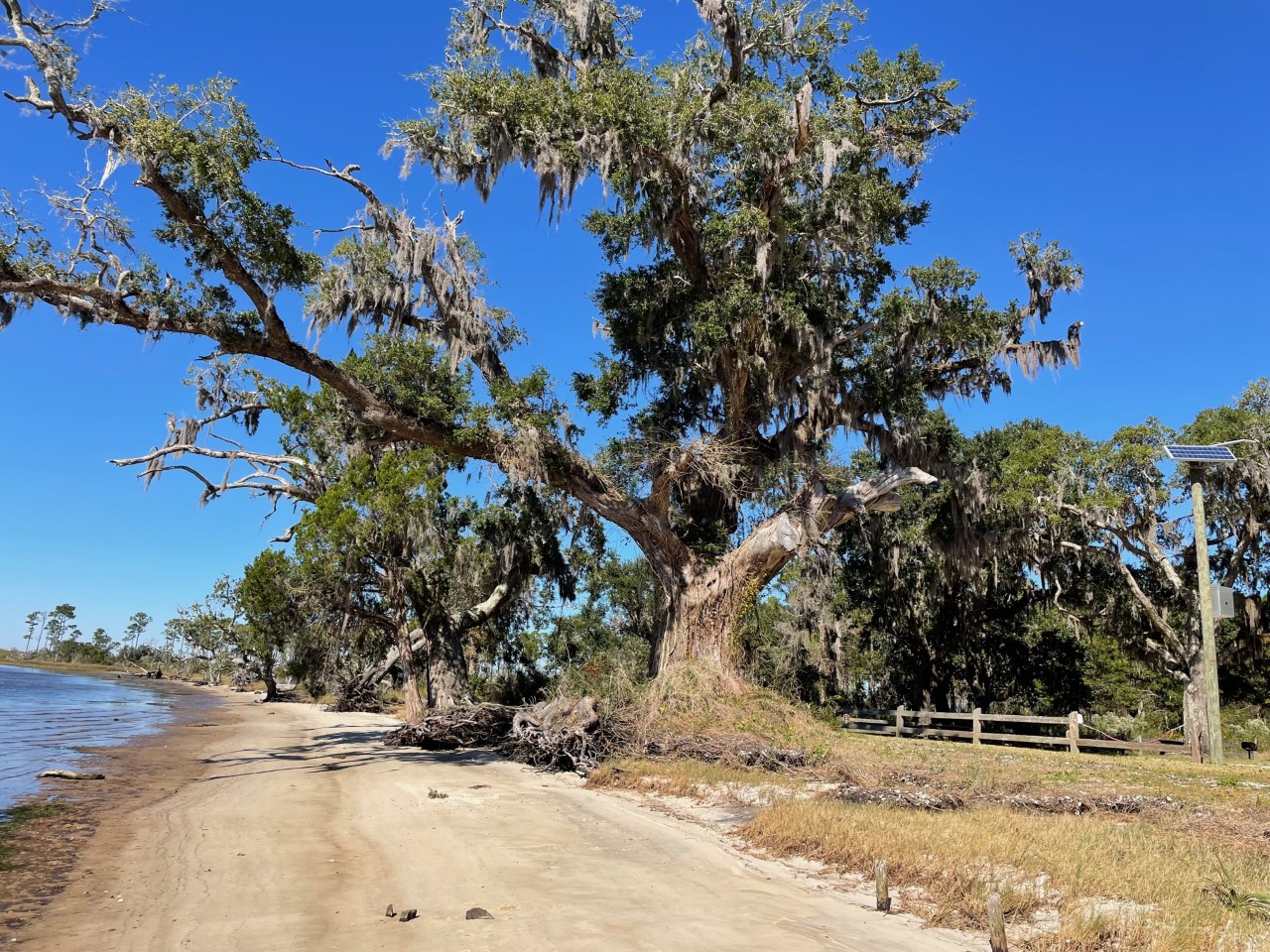
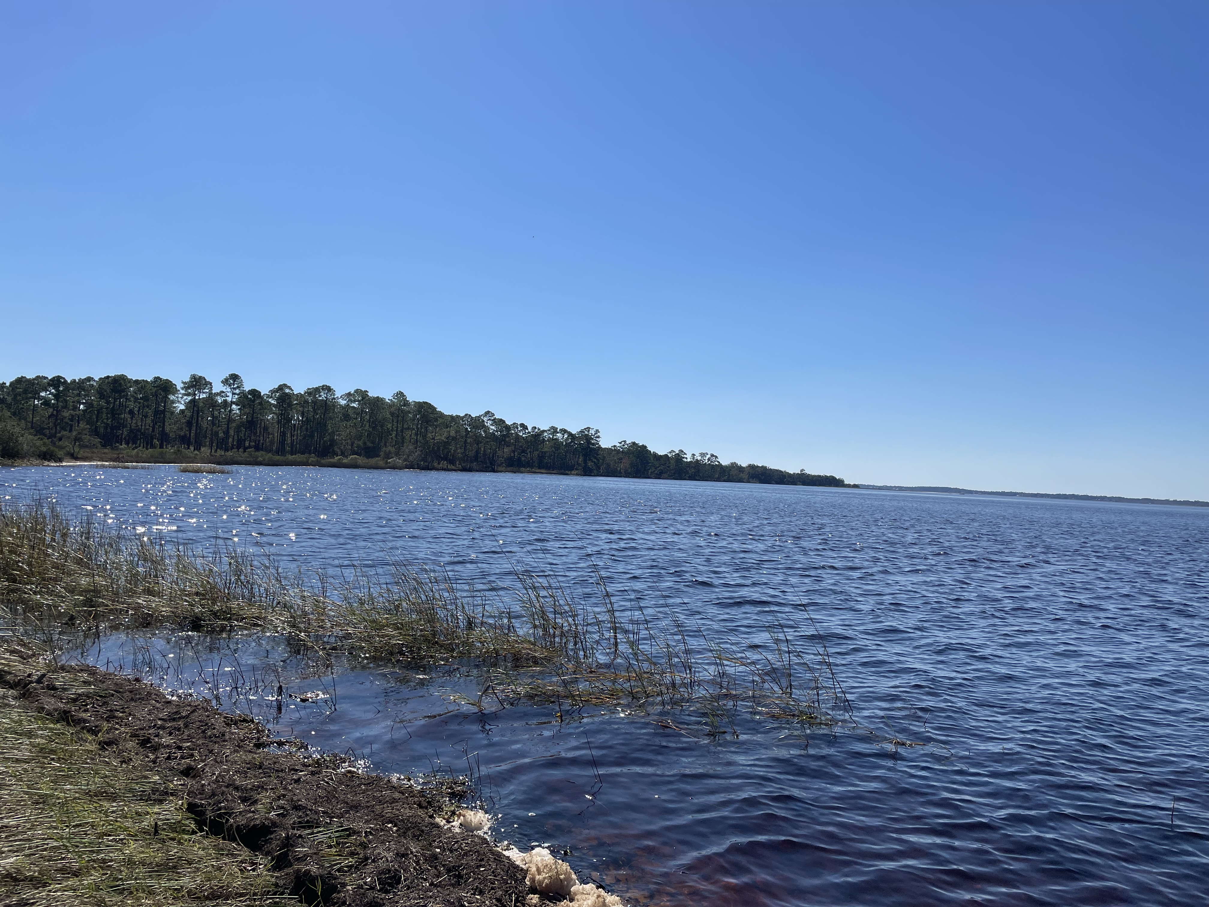
The diversity and natural beauty of the Escribano Point Wildlife Management area is breathtaking. These six square miles of conservation lands provides many types of outdoor recreation including: birdwatching, kayaking, camping, swimming, fishing and hiking. The bays, estuaries, river swamps and other coastal habitats are managed to preserve native plants and animals. Visit Escribano Point Wildlife Management Area (WMA) soon and discover this piece of old Florida.
The Escribano Point WMA is part of state-owned conservation lands that provide habitat for rare plants and animals and promote water quality in Blackwater Bay, East Bay and the Yellow River. The diverse habitats found in Escribano Point WMA provide home to many types of wildlife including, deer, turkey, Florida Black Bears, birds, reptiles amphibians and fish.
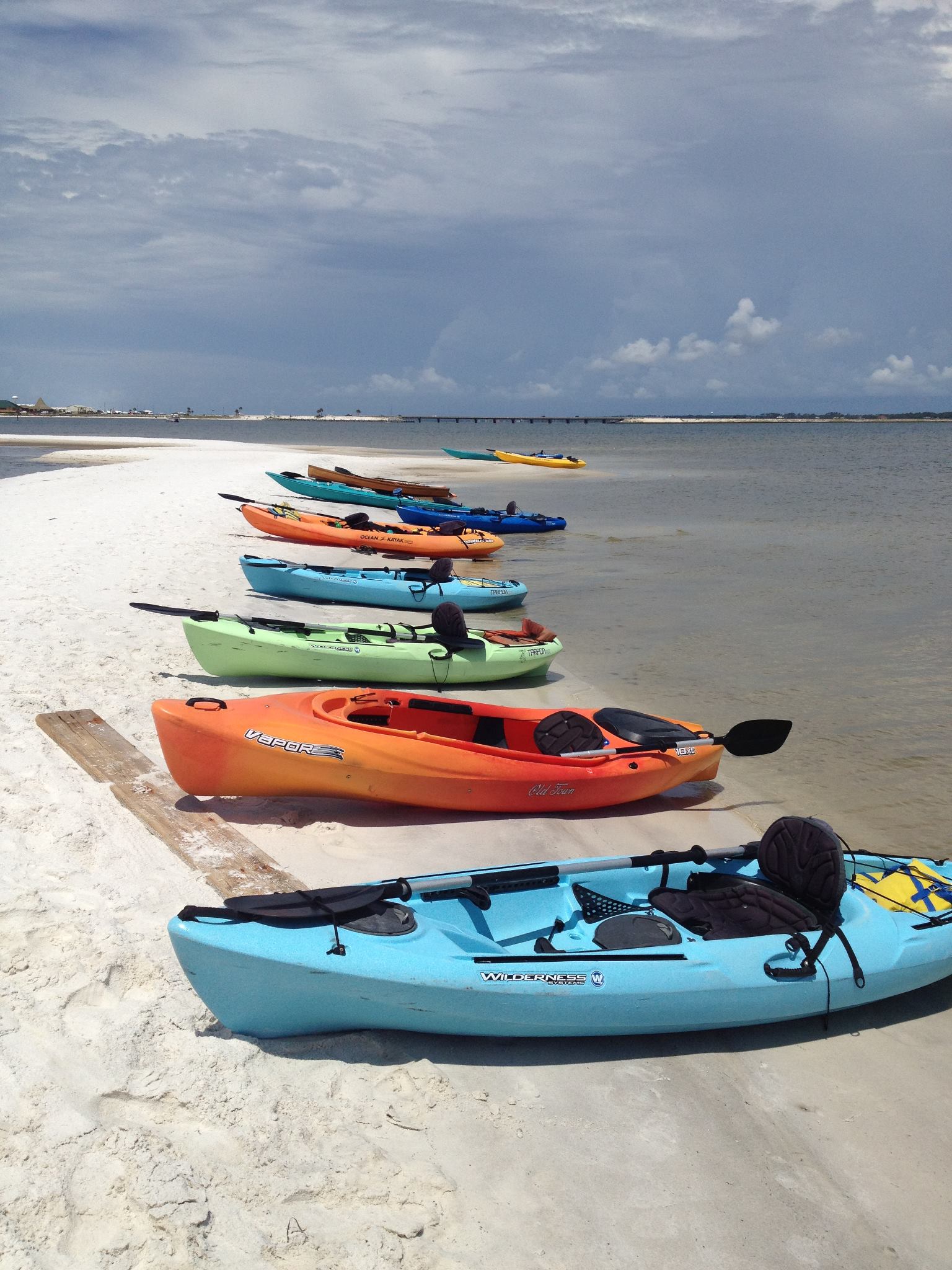
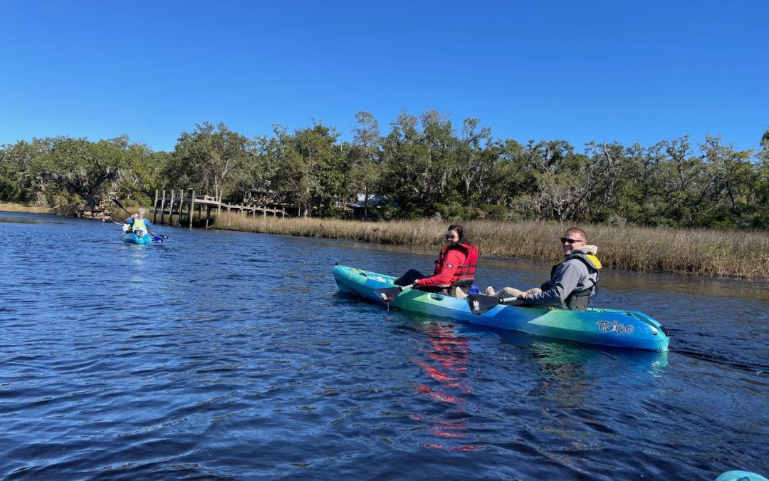
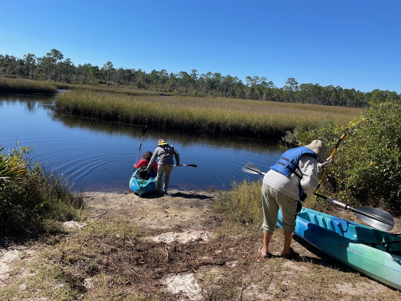
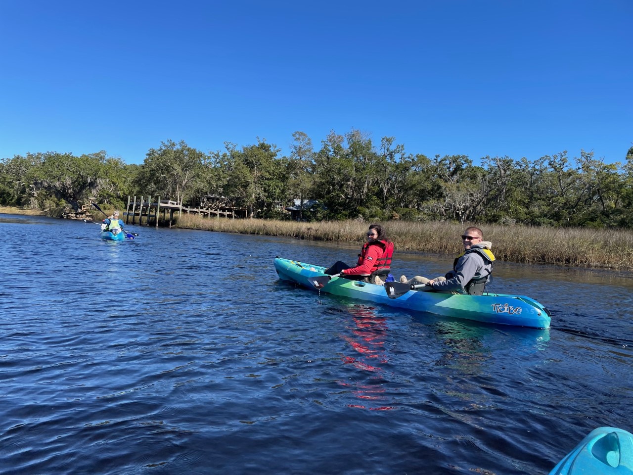
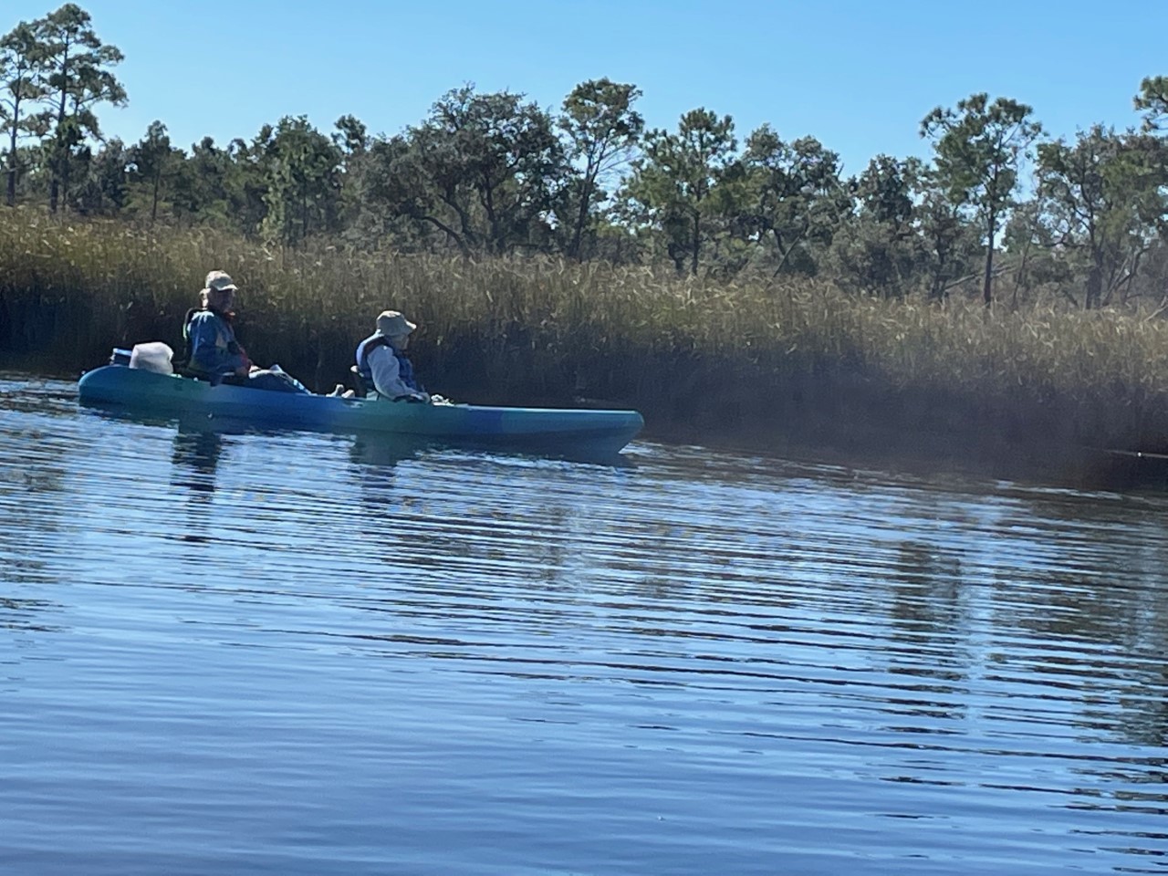
As part of the Florida Master Naturalist Program’s 20th Anniversary, a small but mighty group hit the water just as the air temperature broke 60 degrees on Saturday. We kayaked up Fundy Bayou and out to Fundy Cove located along the southeast side of Blackwater Bay in Santa Rosa County, Fl.
We traveled through freshwater and saltwater marshes, along scrubby flat woods, beach and mesic hammock habitats. Ospreys, a kingfisher, and red-headed woodpecker entertained the group. The air temperature warmed as we paddled. When we arrived at the junction of Fundy Creek and Blackwater Bay, Blackwater Bay was rough. We paddled to the campground for lunch and enjoyed the peaceful beauty around us.
Thanks to Kayak Dave, one member of the group checked an action on her bucket list to paddle again.
Escribano Point WMA is a treasure located in Santa Rosa County, FL., approximately 20 south of Milton, FL . Take some and visit for a day or two, there are 2 campgrounds located at this WMA. Enjoy!
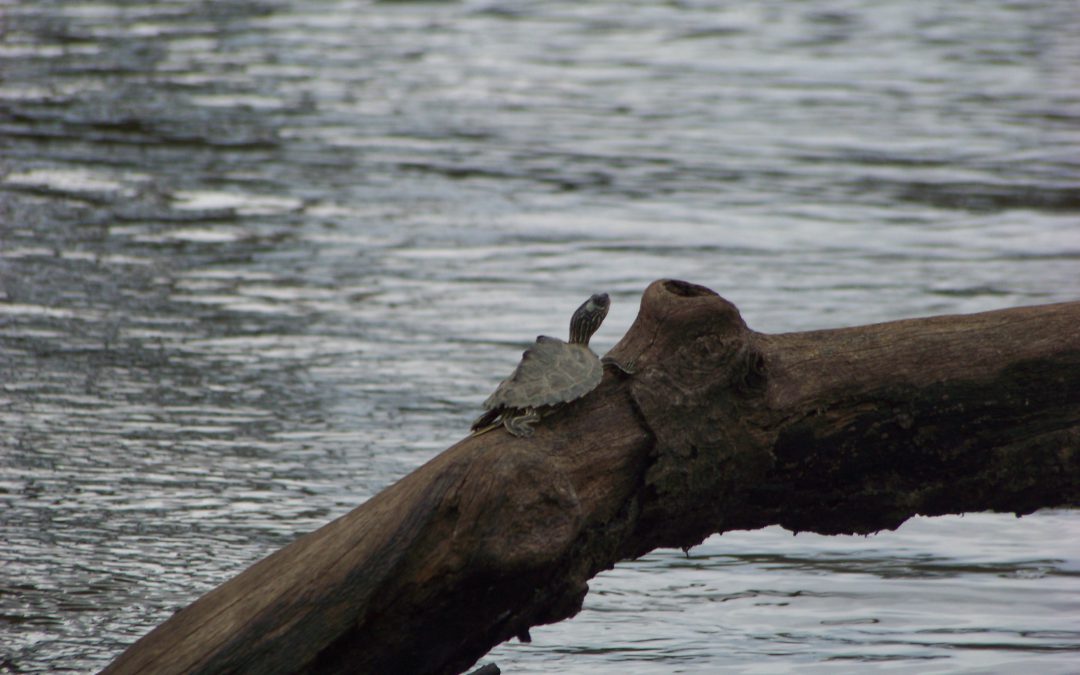
Map turtles (Graptemys) are pretty common across much of the eastern and midwest areas of the United States. Not so much in Florida. There are only two species, and they are only found in the panhandle. However, the range for those two species is mostly in Florida making them a unique Florida turtle, and ones that both the state and federal agencies monitor for occurrence.
The Barbour’s Map Turtle sitting on a tree stump in the Chiploa River. Photo: Molly O’Connor
In the 1940s and 50s it was believed that the Barbour’s Map Turtle (Graptemys barbouri) was only found in the Apalachicola River and the Escambia Map Turtle (Graptemys ernsti) was only found in the Escambia. As a matter of fact, with much of the Escambia River actually in Alabama, they were not sure whether the Escambia Map Turtle was different from the Alabama Map Turtle ( Graptemys pulchra) that inhabits the upper reaches of the Escambia River in Alabama, where they call it the Conecuh River.
Today they do now consider it a separate species and they also know these turtles are found in other rivers in the panhandle. As a matter of fact, there may be more Barbour’s Map Turtles in the Chipola River than in the Apalachicola.
Paddling the Escambia River. Photo: Molly O’Connor
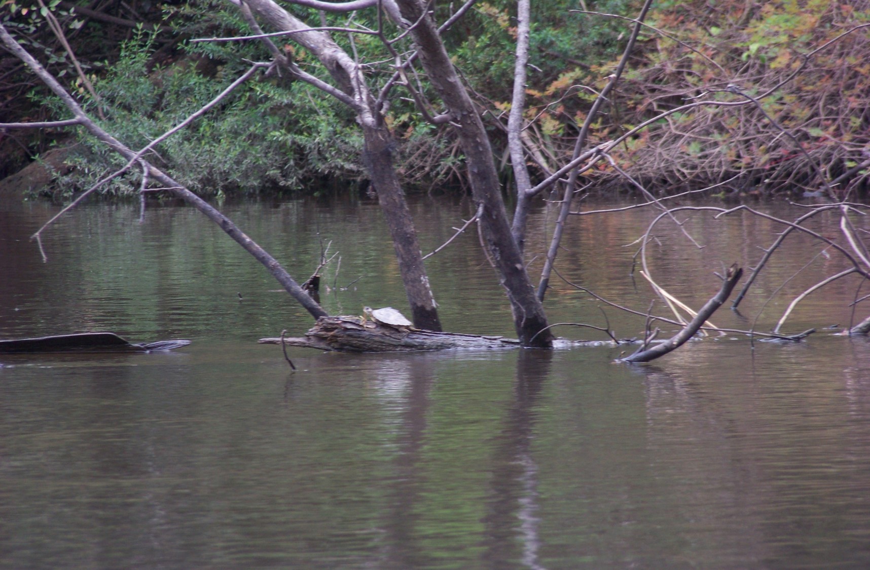
This is definitely a river turtle – preferring stronger currents with plenty of fallen trees (snags) to bask on – something they like to do a lot of. The females are twice as large as the males, with very wide heads and powerful jaws for crushing mollusk shells – their favorite food. Males are much smaller and feed primarily on insects and other aquatic invertebrates. Because of their preference for mollusk, they are usually not found in tannic rivers, like Blackwater or Perdido Rivers, where the pH is to low for successful shell development. And even on the more alluvial rivers, they are not common in the quiet backwater areas of the floodplain swamps – they really like the currents where the mollusk are.
The Barbour’s Map Turtle differs from the Escambia Map in that (a) they have circular yellow patterns on each scute (scale) of the olive green to brown carapace (top shell), (b) lack the two large yellow spots on the top of the head, behind the eye that you find in the Escambia Map, (c) lack the dark black stripe running down the middle keel of the carapace you find in the Escambia Map, (d) the rivers they inhabit.
Barbour’s Map Turtles are found in the rivers between (and including) the Choctawhatchee River and the Apalachicola River. There have been records of Barbour’s Map Turtle in the Ochlockoknee River, but it is believed they may have been moved there by humans.
The Escambia Map Turtle is only found in the Escambia, Yellow, and Shoal Rivers. Photo: Molly O’Connor
The Escambia Map Turtle is found in rivers that feed into Pensacola Bay. These would include the Escambia, Yellow, and Shoal Rivers – again, Blackwater is too tannic. There is discussion whether the Escambia Map has been found in the Choctawhatchee, and there may be some hybridization occurring here.
On rivers where they are found, map turtles can be some of the most common turtles seen. They have high domes shells, that look more “inflated” towards the head end, and scales that form jagged points sticking up along the mid-line of the shell. This gives them a “dinosaur” appearance and another common name “sawbacks”. They are not big turtles, when compared to others like softshell, cooters, snappers – reaching a maximum shell length of 12 inches – are often seen basking on fallen trees (snags) in the water. They are skittish and hard to get close to. Many will jump into the water when you are still over 300 feet away. But for those patient enough to drift, you should get a closer look, and maybe even a picture. On one paddle I did on the Escambia River they made up over 75% of the turtles we saw in a one-mile stretch.
The Barbour’s Map prefers sections of the river where the current is strong and limestone outcrops are frequent. These limestone sections are home to a variety of snail species – the female’s favorite food. Like so many other turtles, they do have to have sandy beaches for nesting. They will venture downstream to find these where the river makes sharp turns and may venture as far as 350 feet inland looking for a suitable nesting spot. Here raccoons do their damage. They not only consume the eggs but will prey on the adults as well. It is also known that occasionally bald eagles will target map turtles as food.
Times are harder for the Barbour’s Map Turtle. In the 1950s there were reports of as many as 136 map turtles / mile. Today the numbers are more like 5-10. The decline can be attributed to several issues.
1) Human harvest. Though not as frequent today, there are records of human harvesting within their range, particularly in the Chipola River area.
2) Dams. Altering the river flow and available “snags” has impacted their numbers.
3) Removing “snags”. This is done for both navigation issues with boaters and because there are unsightly to some. However, map turtles need them – as do other riverine wildlife.
4) “Plinking”. This is a “sport” that is not as common as it once was, but still happens. This is when humans use basking turtles as target practice.
All of these, and probably others, have contributed to this decline and forced the state to protect them. They are now listed on Florida’s Imperiled Species List and you are not allowed to possess them.
The Escambia Map Turtle is still very common on the Escambia River. However, all the members of this species only live on three short rivers, and Florida is concerned that they numbers could be wiped out with a catastrophic event.
An Escambia Map Turtle in a more quiet portion of the river. Photo: Molly O’Connor
This portion of Florida lacks the limestone substrate you find further east. The Escambia River was home to one of the greatest variety of mussels in the Florida rivers. This is their choice of food over snails. However, pollution from agriculture and a paper mill in the Alabama portion of the river, as well as altered flow and sediments due to dams in the Alabama portion, have caused a decline in the mussels. Interestingly, the non-native Asian Clam was accidentally introduced to all the river systems in the panhandle, and the map turtles love them. Some believe the introduction of the Asian Clam may have “saved” the Escambia Map.
In addition to the stressors mentioned with the Barbour’s Map, the Escambia Map has had problems with local ATVs riding all over their nesting beaches destroying nests. Because of their small geographic range, and the increase in potential threats, Florida prohibits the possession of this map turtle as well.
The cool thing about these map turtles is that they are only found in a small area of the planet – in our north Florida rivers. I hope we can protect them, and that you get to see some one day.
The Wacissa River offers paddlers the opportunity to see north Florida unfiltered.
Being off the beaten path has many advantages. In the case of a spring-fed river, it translates to less pressure from human use and a great opportunity for those who do visit to experience the “real Florida”.
The Wacissa River, located in the southern half of Jefferson County, Florida, is near the crossroads identified as the town of Wacissa. There is a blinking light, a post office, and two small convenience stores where beer, ice and snacks can be purchased.
Access to the river is about two miles south of the blinking light on Florida 59, just after the state road veers to the southwest. The blacktop spur quickly become a dirt parking lot after passing several canoe and kayak rental businesses.
A county maintained boat landing with pick-nic tables, a manmade beach, and a tiny diving platform with a rope swing are the only signs of civilization. The cold, clear water extends to a tree line several hundred yards south of the landing with the river moving to the southeast.
The river emerges crystal clear from multiple limestone springs along the first mile and a half of the 12 mile waterway. The adjacent land is flat and subject to being swampy, especially in wet years like 2018.
The river terrain stands in contrast to the Cody Scarp just a few miles to the north. This geologic feature is the remnants of an ancient marine terrace and is hilly, rising 100 feet above the river in some spots.
Cypress, oak, pine, and other trees cover the bottomlands adjacent to the river. The river quickly enters the Aucilla Wildlife Management Area which results in a wide variety of animals, birds, amphibians and reptiles.
The wildlife viewing varies by season. Many migratory birds use the river’s shelter and resources on their annual trips.
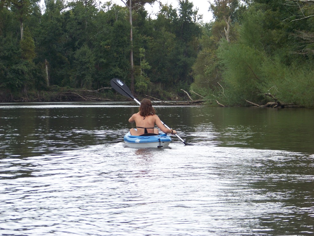
Canoeing and kayaking are popular in the gentle current. Powerboats and fan boats can use the area also, but must be on constant alert for shallow spots and hidden snags.
For the adventurous paddler who wants to follow the river’s course, there is a debarkation point at Goose Pasture Campgrounds and another near St. Marks after the Wacissa merges with the Aucilla.
Be prepared when taking this journey. This is the real Florida, no fast food restaurants or convenience stores. Only clear water, big trees and the calls of birds will be found here.